
‘Crumbled’: Warnings over dangerous regional Victorian road
It leads to one of Victoria’s most picturesque locations, yet one regional road is crumbling away with potholes galore.


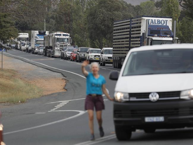
Potholed and pummelled, the regional road network of southeast Australia has been in a sorry state for more than a decade.
Coalition and Labor governments come and go, but the belted bitumen and serrated sidelines grow ever more dangerous — particularly when you travel further away from our state capitals.
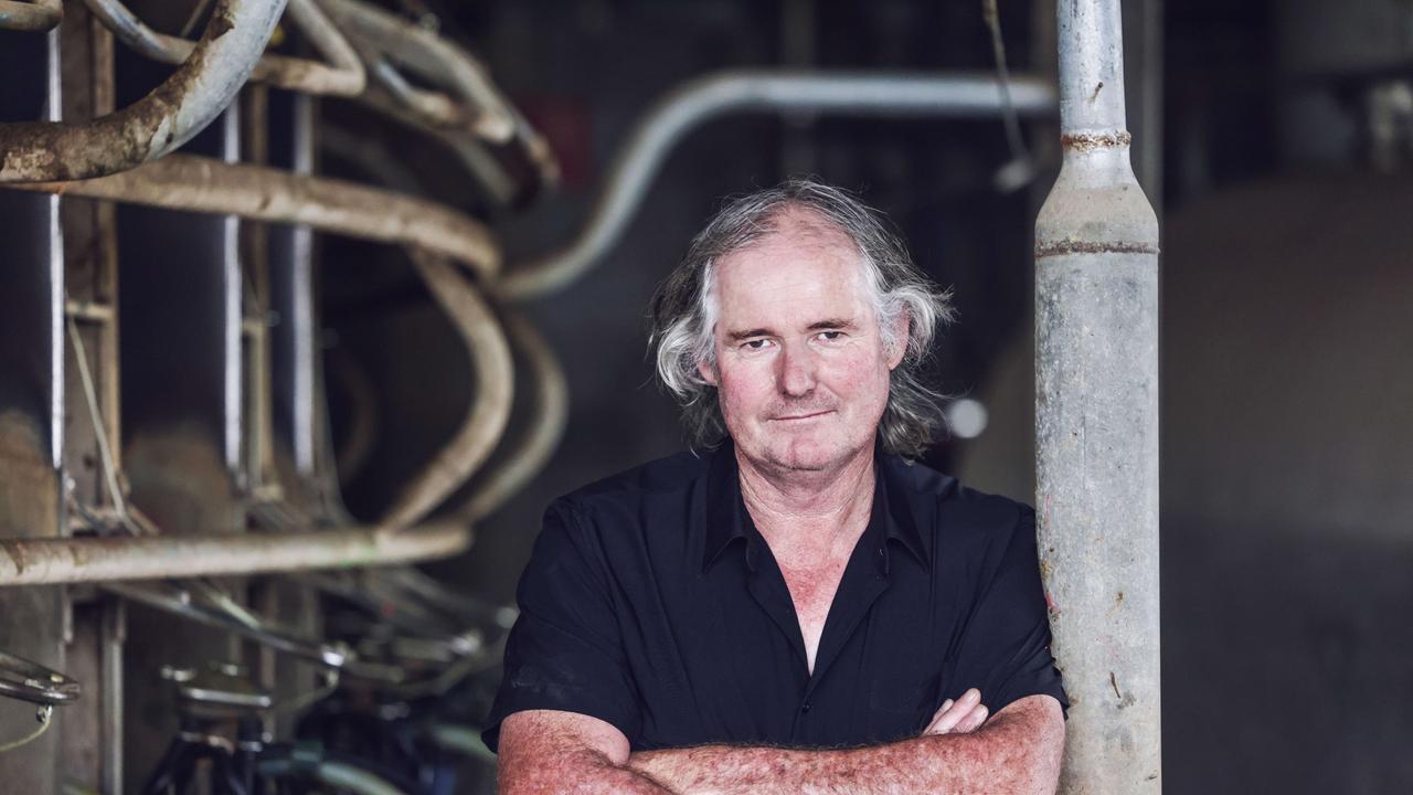
Earlier this year, Wimmera farmer Ryan Milgate had enough.
He took to social media to call out politicians who claimed the roads were improving because on the ground, he and other motorists saw little change.
“The further you get away from Melbourne, the worse the roads become. They say there’s money going into regional roads, but it feels like a lot of that funding goes to places closer to Melbourne like Geelong and Ballarat,” the Minyip farmer said.
His comments have sparked an online survey by the Victorian Coalition, which has called on motorists to upload evidence of their worst roads across the Garden State.
However, a Victorian Government spokeswoman said: “While the Liberals come up with an explanation as to why they deceptively used vision of roads in the Ukraine and USA on their new website, we’re getting on with maintaining more roads than ever before and upgrading some of our biggest regional roads – slashing travel times and supporting thousands of jobs.”
WARRACKNABEAL-BIRCHIP RD
He challenged Victorian Agriculture Minister Mary-Anne Thomas and Roads Minister Ben Carroll to travel the road, but he’s yet to receive a response.
However, opposition MPs Emma Kealy and Steph Ryan took up his offer prior to the launch of their ‘worst roads’ website.
Ms Kealy said one road user took a novel approach to raising concerns about the Warracknabeal to Birchip link. The anonymous motorist spray painted the VicRoads ‘Report a Road Hazard’ hotline onto the road, but despite being reported to the road authority numerous times, the link was still not safe.
“It’s in such a poor condition the road’s crumbled to barely seven foot wide in some places — there’s no way a truck can safely travel that, let alone other motorists when they need to overtake,” the Lowan MP said.
However, a government spokeswoman said: “We’re currently delivering more than 15 kilometres of shoulder sealing and widening works on Warracknabeal-Birchip Road, improving safety and making travel easier for hundreds of drivers each day, including a high number of heavy vehicles.
“It’s on top of $112,000 worth of shoulder upgrades delivered on Warracknabeal-Birchip Road during the 2020/21 maintenance season.”

GLENELG HIGHWAY— MUNTHAM
Linking the southwest Victorian towns of Casterton and Coleraine, the Muntham section of the Glenelg Highway has hit the headlines before.
During the 2010 federal and state election campaigns, candidates on both sides of the political divide pledged the fix the eroded road.
Veteran bus driver Des Trotter told The Weekly Times in 2016 that the Muntham section of highway was one of the worst stretches of single carriageway nationwide.
“You’ll see it, and you’ll say it’s revolting,” Mr Trotter said.
“It’s the worst section of road I’ve ever seen in my life.”
Four federal and three state elections have now flown by and both the blue and red teams have been in power, either in Canberra or Spring St, during that 12-year period.
Yet the Muntham section of the Glenelg Highway remains a pothole paradise.
MEENIYAN-PROMONTORY RD
Wilson’s Promontory is one of regional Victoria’s tourism hot spots.
But the road leading down to the popular destination for bushwalking and sightseeing is less than picturesque.
Gippsland South MP Danny O’Brien said the Meeniyan-Promontory Road was too narrow for overtaking, which increased the danger at peak tourist times
“The road to the Prom is in a terrible state,” the National Party MP said.
“Despite the Government’s band-aid patch jobs, it continues to be narrow, in poor condition and with no overtaking lanes. It’s an embarrassment that such a poor road leads to one of our most beautiful and popular national and international tourist destinations.”
A Victorian Government spokeswoman said: “Since 2018, more than 20 kilometres of Meeniyan-Promontory Road has undergone rebuilding and repair work, thanks to a total $2.5 million investment. That includes more than four kilometres of resurfacing work delivered as part of this year’s maintenance program, delivered thanks to more than $300,000 of Labor Government funding.”

HENTY HIGHWAY — BRANXHOLME
Back in the 2010 election year, Mathew Roberts generated headlines after he took an unorthodox approach to dealing with his pothole frustration.
Two tyres on the young motorist’s vehicle were ruined when he hit a pothole on the Henty Highway near Hamilton.
He has sent VicRoads a bill for the damage but the roads authority refused to admit liability.
Twelve years on, and the highway remains an obstacle course for southwest Victorian motorists, with the section near Branxholme, south of Hamilton, still problematic.

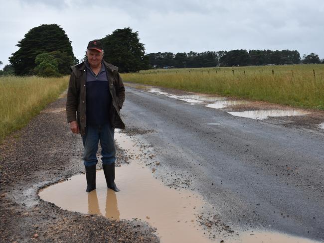
COBDEN-STONYFORD ROAD
Is it Stonyford or Stoneyford? That is the question worthy of a latter-day locality lexicon Shakespeare. But what is in little doubt is the condition of the road that connects near locality near Colac with the regional centre of Cobden.
Starting at decidedly unsafe level crossing near the Princes Highway, the road is potholed and riven with rough undulating sections through districts such as South Purrumbete and Bullharre.
A nearby section of the Princes Highway, just west of Pirron Yallock is no better.
Several sizeable potholes pucker the alleged national highway, which only a short drive up the road, had enjoyed half a billion in federal cash to transform into a dual carriageway between Colac and Waurn Ponds.
A Victorian Government spokeswoman said: “As part of the 2020/21 maintenance schedule, resurfacing works were delivered across four sections of Cobden-Stonyford Road, totalling 12.8 kilometres, to provide a smoother and more reliable journey for all road users. Further works were delivered on Cobden-Stonyford Road as part of the $17.4 million Dairy Supply Chain investment delivered under the 2020/21 State Budget.”
MONARO HIGHWAY — EAST GIPPSLAND
A critical freight route in and out of East Gippsland but you wouldn’t know it from first glance.
The Monaro Highway’s surface is cracked and crumbling, which is not only a danger for motorists but worsened significantly as the road is frequented by heavy traffic.
Gippsland East MP Tim Bull said the Country Roads and Bridges Program needed to be reinstated to repair thoroughfares such as the Monaro Highway in his electorate.
“I have had long time freight drivers telling me the roads are the worst they have seen them, and motorists are asking ‘If a car needs to be roadworthy, shouldn’t the road be car worthy?” he said.
BACCHUS MARSH RD
Located near one of the fastest-growing patches of suburbia in Australia, you’d think the much-used Bacchus Marsh Rd would be well-funded by government.
But the thoroughfare connecting the northern suburbs of Geelong to Bacchus Marsh has been the site of several fatal crashes in the past decade.
During that time, Lara, at the southern end of the road, has gained a number of new neighbourhoods, as has the expanding Bacchus Marsh/Melton region.
Nearby Werribee, to the east of the road, is also connected to the thoroughfare.
Much of the formerly 100km/h-zoned highway is now classified as 80km/h, gaining criticism from locals and freight operators who frequent the western suburban to regional centre link.
WOOLSTHORPE-HEYWOOD RD
Whether you’re driving through Bessiebelle or commuting across Broadwater, the Woolsthorpe-Heywood Rd is known as one of the worst in regional Australia.
Conditions along the state-run thoroughfare became so bad in 2012 that businesswoman Jodi Fry established the Roads to Ruin lobby group.
Hundreds of concerned motorists met at Warrnambool Entertainment Centre to call on the Gillard and Baillieu governments to upgrade the link as well as other rough roads across the southwest of Victoria.
Times and governments have changed but the road remains the same.
The Weekly Times has followed up on the condition of the road several times in the past decade, and while some patch-up work has been conducted, it remains a hazard for the suspension on vehicles big and small.
A Victorian Government spokeswoman said: “Between 2019 and 2021, Regional Roads Victoria (RRV) completed about $1.2 million of improvements on a five kilometre section of Woolsthorpe-Heywood Road, including resurfacing and shoulder repairs.”

MORTLAKE-WARRNAMBOOL RD
Not far from the Woolsthorpe-Heywood Rd, another southwest arterial is loathed by truck drivers and average motorists alike.
Mortlake-Warrnambool Rd is frequented by trucks heading from Melbourne and Geelong to Warrnambool via the Hamilton Highway as an alternative to the Princes Highway.
It’s also used by agricultural freight companies transporting goods from the Mallee and Wimmera to the Port of Portland, as well as livestock from north to south.
Littered with potholes, the road has received many visits by politicians on either side of the divide in recent times but the degraded surfaces remain a bugbear of local motorists.
CAPE OTWAY RD
Cutting through some of the most picturesque landscape in regional Victoria, the Cape Otway Rd’s reputation as a hazardous highway is well-known to locals and holiday-makers alike.
A number of fatal crashes occurred on the stretch of road which links the foodie destination of Birregurra in the west to Mount Moriac in the east, not far from Geelong.
Pre-pandemic, the road was often used by international drivers as an alternative route to Lorne and Apollo Bay instead of traversing the Great Ocean Rd or the newly-duplicated Princes Highway between Waurn Ponds and Winchelsea.
Geelong police said the use by overseas sightseers was mainly due to Google Maps directing road users away from the two main thoroughfares and onto the alternative route.
Cape Otway Rd’s popularity grew in the 2010s to the point where VicRoads installed an upgraded intersection where the link terminates in the east, not far more the popular Mount Duneed Estate winery.
A Victorian Government spokeswoman said: “As part of the current regional road maintenance program, more than 4.8 kilometres of resurfacing work is being delivered over three sections of Cape Otway Road, thanks to a $1.05 million Victorian Government investment.”


ADF case against VFF settled
The Australian Dairy Farmers lobby has settled its legal dispute with the VFF on unpaid fees. But how will it pay the next $300,000?
How the new ESVF tax will affect Victorian farmers
CFA and VicSES volunteers who own farms worth more than $5m will still be worse off under the government’s new ESVF tax, with refunds capped at up to $4150.