
Lachlan River sand slug: Hovells Creek farmers map erosion with Agronomeye LiDAR
A group of farmers near Cowra is using new game-changing tech to battle a 150km sand slug that is threatening the Lachlan River.
A group of farmers southeast of Cowra, NSW, is using new aerial scanning technology to help reverse erosion that is threatening Murray cod habitat in the Lachlan River.
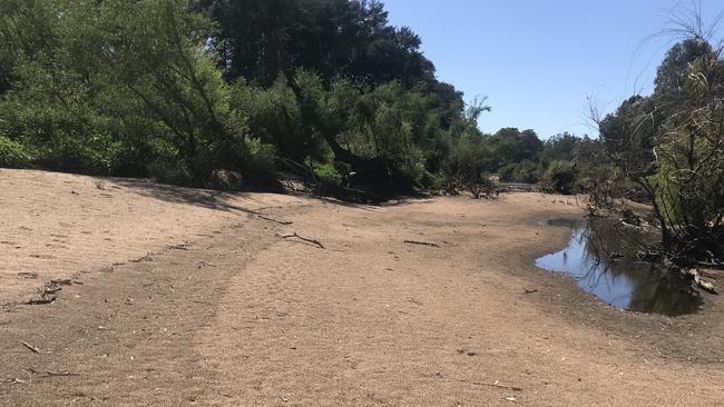
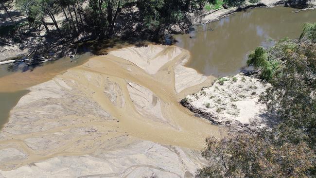
The Hovells Creek Landcare group has used LiDAR laser surveying to map 52,000ha of its members’ properties, and pinpoint areas where sediment flow into the river system is most severe.
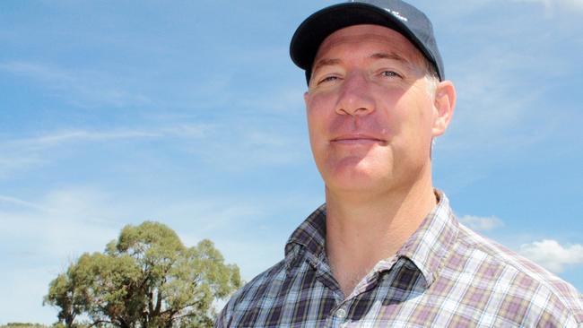
Group chair and beef farmer Gordon Refshauge said erosion on local agricultural land was contributing to a 150km sand slug in the Lachlan River that was costing producers and the environment dearly.
“NSW Fisheries have identified sand sediment to be the No.1 environmental issue in the Lachlan River,” he said. “All that sand comes from our country.
“Not only are we losing production and soil off our farms, it also produces a problem for the environment.
“It is a cost at many levels, and we have funding from NSW Environmental Trust to undertake on-the-ground action.”
The new scanning technique, delivered by agtech start-up Agronomeye, uses a laser on an aeroplane to map topography and vegetation coverage in detail, and deliver digital heat maps that show how water flows over a landscape, as well as biodiversity and habitat conditions.
Mr Refshauge said the LiDAR maps made it “very clear on the catchment map where our problems are accumulating”.

He said the data revolutionised decisions about where to focus works, which included building structures to change water flow, fencing off creeks and gullies, and revegetating with pastures and native vegetation.
“The trick is, how do we prioritise these things?” he said. “This is where LiDAR comes in. It gives us a quantitative way to be targeted.”
The group’s work with Agronomeye was funded by the federal government’s Future Drought Fund.
Agronomeye founder and CEO Stu Adam said data gathered through LiDAR had many applications beyond erosion control.
The technology could map vegetation cover in greater detail than satellite imagery, including canopy height and density, and was a reliable way to measure above-ground carbon, he said.
“This is a technology that will be useful for every single agricultural sector and every farm,” he said. “We saw from the Chubb Review, one of the main takeaways was integrity and transparency. For us, that is really at the core of what we’re offering here.”
Mr Adam showcased Agronomeye technology at February’s EvokeAg conference in Adelaide, alongside other agtech start-ups including Optiweigh, FarmLab and Zetifi.


‘Basic rights’: Spray tank water ban
The NSW water regulator has banned farmers from using their basic landholder water rights to fill spray tanks.

Farmers are waiting years for chemicals to be approved. Why?
The long approval process by the nation’s agricultural chemical regulator could see companies turn away from the Australian market.