
Bureau of Meteorology says weather hammering Cairns to head south
Extreme weather currently battering Far North Queensland is expected to push south in the coming days. See who’s in the potential firing line.

Townsville
Don't miss out on the headlines from Townsville. Followed categories will be added to My News.
Extreme weather currently battering Far North Queensland is expected to push south in the coming days with Hinchinbrook, Townsville and the Burdekin in the potential firing line.
Bureau of Meteorology meteorologist Livio Regano said on Monday afternoon that rain would extend from Cairns to Mackay for the remainder of the week as a monsoon trough pushed south.
“The further south you go the weaker it will be but heavier falls will be further north and as I say, Townsville could be in the firing line for the heavier stuff as well.”
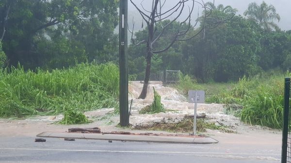
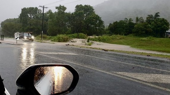
The Bureau has issued flood watch warnings for the Herbert River north, with Cairns recording rainfall totals of more than 150mm in under 24 hours, with isolated areas recording in excess of 300mm.
Roads in Far North Queensland have been cut by flooding and fallen trees.
Mr Regano said the extreme weather was being generated by a low in the Gulf of Carpentaria.
“It’s a very broad system and there’s bands of heavy rain rotating around it feeding into Cairns.”
He said that in addition, a much smaller, compact low had formed on the North Tropical Coast “that’s not making things any better”.
“Right now, just in Yarrabah south, southeast of Cairns, there’s been a really tight circulation that looks like it might have been a water spout or perhaps even a small tornado … but there’s definitely a lot of rain about.”
He said there was currently a severe thunderstorm in place in the area.
Mr Regano said the system was now moving south “and anyone stuck under it is getting really hammered”, although it was likely to be a “transient” system and disperse.
“But what is happening is that the monsoon trough … that’s going to slowly move south,” he said.
“Townsville might start to get some of that [Tuesday], certainly Ingham, and it will probably peak on about Thursday, which could be the heaviest day.”
Mr Regano said rainfall totals were often hard to predict.
“It’s a bit hard to estimate the rainfalls because if you are under a storm obviously you get a lot more but we are currently forecasting up to 45mm for Townsville but it could easily be greater if you fall under one of those big rain bands.”
Possible thunderstorms have been forecast for Hinchinbrook, Townsville and the Burdekin from Tuesday to Thursday.
Mr Regano said that with flood watches in place it was important North Queenslanders keep an eye out for potential flood warnings.
“But at the moment, there are no warnings current.”
More Coverage

Originally published as Bureau of Meteorology says weather hammering Cairns to head south

Burdekin candidates’ final pitch to voters in quick-fire Q&A
Dale Last may be expecting an election win, but his two main opponents – a former Moranbah mayor and a Townsville doctor – aren’t giving up yet. Get the breakdown of Burdekin’s voting options.
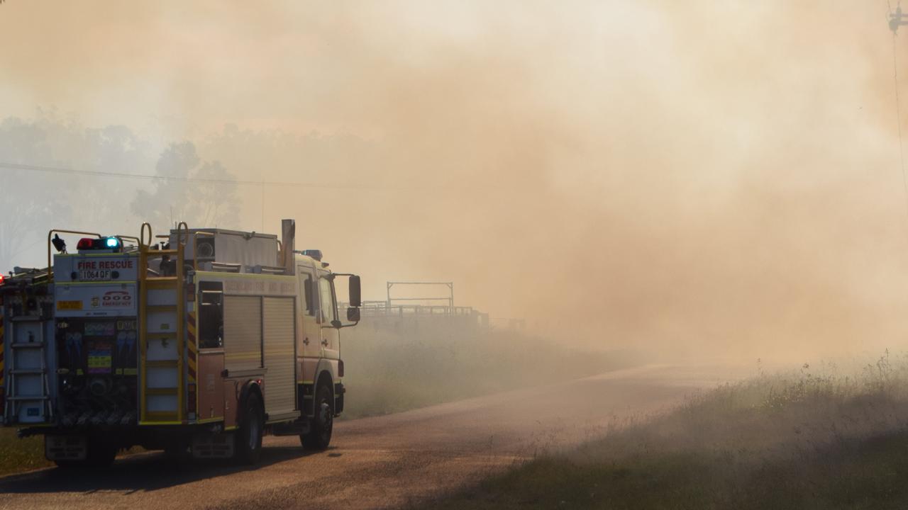
Cloncurry residents told to prepare for evacuation as bushfire nears
Residents in parts of Cloncurry are being warned to prepare to leave as a fast-moving bushfire threatens the area.