
Huge swell forecast to hit the South East after bitter cold snap
Forecasters expect monster swells to hit the South East on Wednesday after this week’s cold snap. SEE THE FULL REPORT HERE + BEST PLACES TO CATCH WAVES >>
Tasmania
Don't miss out on the headlines from Tasmania. Followed categories will be added to My News.
- Surfing Tasmania issues warning after multiple shark sightings
- Bill Thwaites: A stylish champion of Tasmanian surfing’s early days
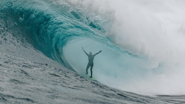
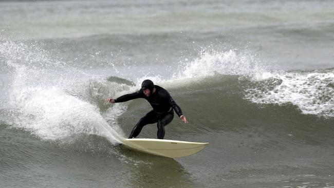
IT’S the question running through the heads of most Tassie surfers right now – will the points break on Wednesday?
The fickle right-hand point breaks, about 40 minutes from Hobart, could fill with surfers as a five-metre-plus swell rolls in off the back of the icy cold blast on Wednesday.
The Bureau of Meteorology is forecasting swells between 3-5m on Wednesday morning for South East coastal waters between South East Cape and Tasman Island.
READ MORE: Snow to fall as low as sea level across Tasmania
The swell is expected to be accompanied by a 25 to 35 knot south east winds turning southerly 20 to 30 knots over the morning.
But don’t expect to be surfing in the sun if you are heading out for waves on Wednesday.
BOM is expecting a cloudy day with a high (95 per cent) chance of showers, with hail possible in the afternoon.
Other trusted forecasters such as Seabreeze and Swellnet are also predicting monster waves for the South East.
Seabreeze expects waves to peak at 6.5m at 4am on Wednesday while Swellnet is forecasting “double overhead” waves for South Arm around midday.
Let us know if you think the points will break on Wednesday.

‘Never say never’: Minister leaves door open to stadium deal rethink
A senior Cabinet minister has suggested the state government could renegotiate its deal with the AFL to build a stadium at Macquarie Point.

Calls mount for state govt to end greyhound racing support
The Tasmanian government is being urged to end funding support for the greyhound racing industry in the wake of a damning report released by a leading economist.