
Snow to fall as low as sea level across Tasmania with polar mass
Snow is predicted to fall as low as sea level across Tasmania over the next few days, with an extreme cold front moving into the state bringing showers and possible hail. FULL FORECAST >>

Tasmania
Don't miss out on the headlines from Tasmania. Followed categories will be added to My News.
- GALLERY: 50 of the best photos of Tasmania’s beaches
- ‘Life and death’: Queensland joins Tassie’s border ban
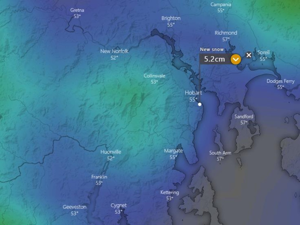
Global weather models are tipping snow to fall to as low as sea level across Tasmania overnight and into Tuesday, as officials watch an extreme cold front.
“A minus 38C polar air mass at 18,000ft is forecast to cross the state late Monday into Tuesday,” Higgins Storm Chasing posted.
“Global model data is currently saying snow will fall to sea level pretty much right across the state with up to half a metre across the Western and Central highlands.”
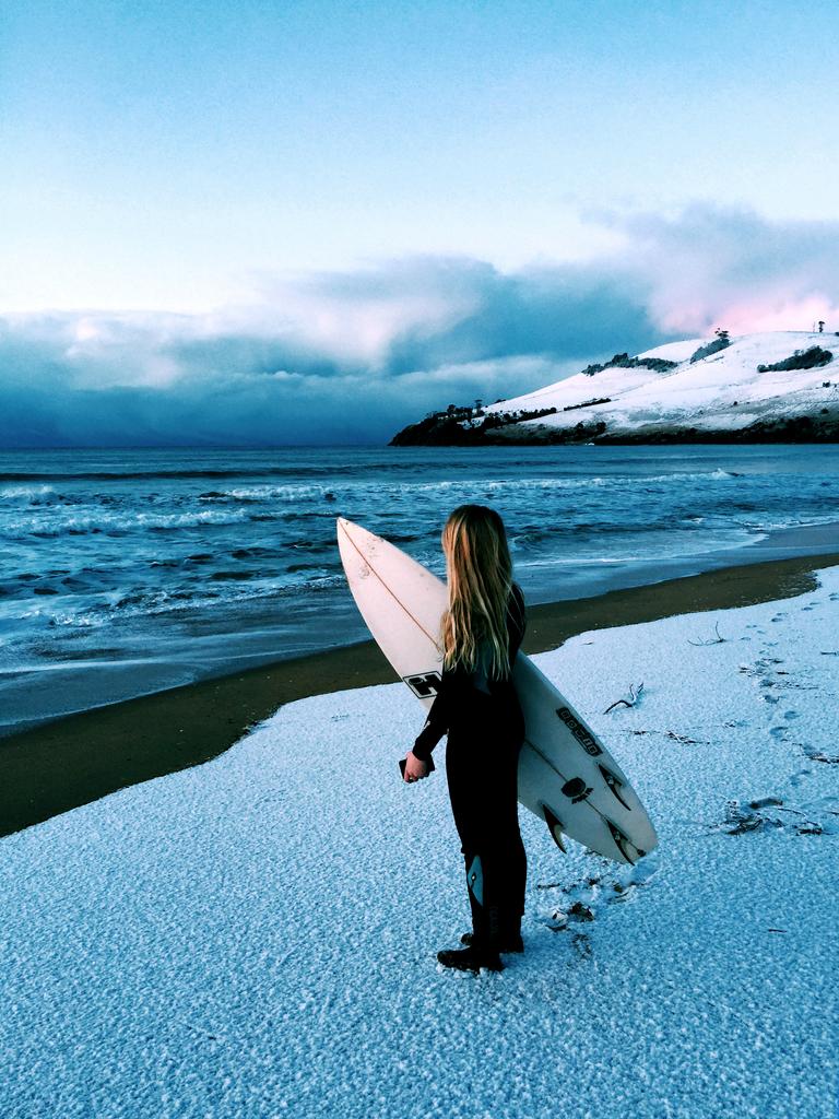
The last time it snowed at sea level was in 2015, when areas such as Clifton Beach saw flurries of snow covering the sand.
Before that, it hadn’t snowed in the city at the same levels since 1986.
Bureau of Meteorology forecaster Belinda House said Tasmania should expect a really cold change from Monday afternoon.
“Later in the day Monday, through Tuesday and persisting into Wednesday we’re going to see the coldest air and snow,” Ms House said.
“There will be a front coming across (Saturday) with showers pushing into the north west of the state Saturday and continuing with showers in the far south of the state Sunday.”
She said a more complex low would form in the south west on Monday, extending the cold front across the state.
“The snow will start coming down later on Monday and quite low into Tuesday, with snow hanging around into Wednesday,” Ms House said.
But she stopped short of a firm forecast of snow down to sea level.
“We’re certainly suggesting snow down to around 400 metres elevation,” Ms House said.
“There is a chance it will get into those elevated suburbs of Hobart such as Fern Tree.”
She said how low the snow would fall will be dependant on where the low forms.
“While there’s a little uncertainty around that, we won’t know for sure where the snow flurries will fall exactly,” Ms House said.
“But right across Tasmania, on Tuesday and Wednesday we don’t think we’ll see maximum temperatures above 10, so single digit maximums across the state.
“So if places don’t see snow, it will certainly be extremely cold.”
On Monday, the Bureau updated its forecast to snow falling above 200 metres on Tuesday, with possible hail and a very high chance of showers.

Forecast
Hobart
- Monday: 5—10, a few showers, possible hail.
- Tuesday: 0—8, frost, showers developing. Snow and possible hail.
- Wednesday: 4—9, showers, possible hail.
- Thursday: 4—11, possible shower.
- Friday: 3—10, partly cloudy, chance of shower.
- Saturday: 3—11, partly cloudy.
- Sunday: 4—11, partly cloudy.
Launceston
- Monday: 4—12, showers.
- Tuesday: -2—8, early frost, shower or two. Possible hail.
- Wednesday: -2—10, shower or two, possible hail.
- Thursday: -2—12, morning frost, mostly sunny.
- Friday: -4—12, morning frost, mostly sunny
- Saturday: -2—13, morning frost, mostly sunny.
- Sunday: -2—13, morning frost, mostly sunny.
Bushwalkers criticised by police after Tarkine rescue
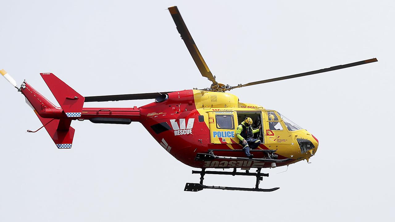
The Westpac Rescue Helicopter has been deployed to rescue two hikers from the Tarkine after they became lost, with police reprimanding the pair for their lack of preparation.

‘Invest in what matters’: North west candidates on stadium
The stadium could impact the legislative council vote in the North West, with three key candidates explaining their position on the contentious issue. What they had to say: