
FOCUS Voyage on RV Investigator uncovers underwater volcanoes while charting Southern Ocean
Scientists on-board CSIRO’s research vessel the Investigator have made an explosive discovery while mapping the depths of the Southern Ocean, with the help of groundbreaking technology. What they found.
Tasmania
Don't miss out on the headlines from Tasmania. Followed categories will be added to My News.
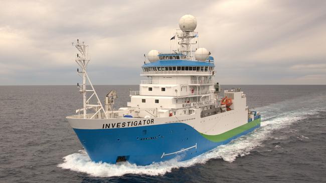
Scientists on-board CSIRO’s research vessel Investigator have discovered underwater volcanoes for the first time while charting the depths of the Southern Ocean.
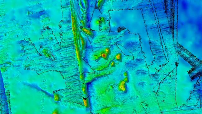
Using groundbreaking technology to map the sea floor, eight dormant submarine volcanoes with peaks nearly as tall as Tasmania’s highest mountain and one with a double vent were discovered.
“They would have been active a long time ago, probably in the 10 to 20 million year range. But now they’ve left these amazing, almost edifices of evidence of past volcanism and they give us a clue as to how the sea floor around this area might have formed,” CSIRO geophysicist Dr Chris Yule said.
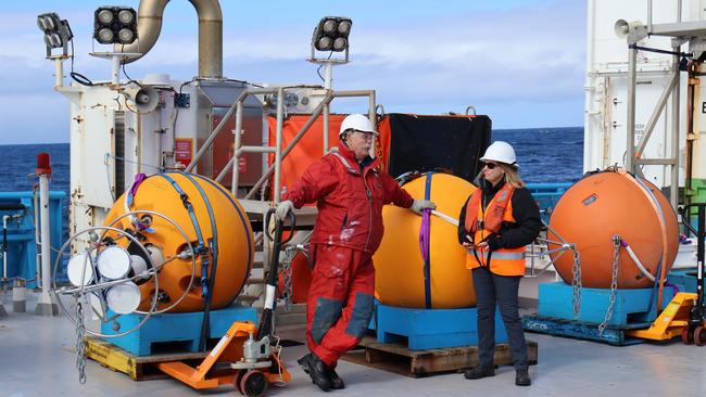
It comes as a team of 54 crew on-board the FOCUS Voyage returned home on Wednesday after a 36-day science expedition in the Southern Ocean.
The main focus was to study the worlds strongest current – the Antarctic Circumpolar Current – which is currently leaking warm water and contributing to Antarctic ice melt and rising sea levels.
Using world-class technology, including a satellite and multibeam echo sounder system, the research vessel surveyed a 20,000km2 area of the Southern Ocean sea floor which hasn’t been mapped before.
“We covered all of the gaps that were left behind on previous surveys. A lot of what we mapped is new so we’ve discovered four new seamounts, geological features that nobody’s ever seen before. It’s a first here,” Dr Yule said.
“Four of them are new discoveries and we filled in details on two seamounts and a fault line ridge partially mapped on a previous voyage. We now know the ridge, just west of the survey area, drops into a valley over a 1600m high cliff.
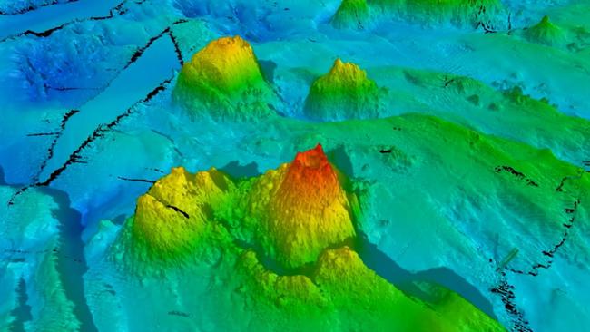
“Some of the volcanoes we’ve seen so far are 1500m tall, and have really deep calderas down to 400m deep from the peak. If you think of the bowl that’s at the top of the volcano, that means that 400m of thick materials were ejected out of that volcano when it erupted.”
Mapping the sea floor is critical for scientists in understanding how the Antarctic Circumpolar Current is responding to obstacles like ridges, canyons and seamounts.
“The sea floor isn’t flat,” Dr Yule said.
“If you do have a current flowing across an uneven surface, you’re going to have a bit of turbulence and some eddies that form around these topographical features.”
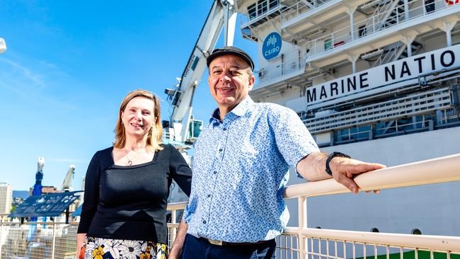
University of Tasmania’s Australian Antarctic Program Partnership voyage co-chief scientist and physical oceanographer Associate Professor Helen Phillips said they had a clear map of the sea floor by the time they left the survey region.
“Mapping the Antarctic Circumpolar Current hotspot is really going to help us understand how the current is responding to that sea floor roughness and how that’s affecting both the speed of the current, its position and how much heat gets through,” she said.
“Ultimately, we want to turn daily maps of ocean sea surface height from satellites into daily maps of the movement of heat in the Southern Ocean toward Antarctica.
“This will help governments and communities plan how to adapt to rising sea levels and how fast they need to act.”


Election ‘25: Fishy final pitches as family get in on the act
From candidates dressing up as a tuna dancing on the side of the highway to the best democracy sausages and first-time voters with famous dads — today’s state election day has it all. Get the latest updates and results as they happen.

Voters favour Winter in hung parliament: YouGov poll
The final public poll of the Tasmanian election campaign released on Friday night points to another hung parliament, with unprecedented support for minor parties and independents.