
WEATHER: Highlands cop cold blast, snow and hail
A cold blast has brought a winter wonderland to parts of the state, with Tasmanians revelling in snowfalls. LATEST WARNINGS >>
Tasmania
Don't miss out on the headlines from Tasmania. Followed categories will be added to My News.
- Derwent River ferry service just weeks away from setting sail
- Self-proclaimed Tassie ‘battlers' become overnight millionaires
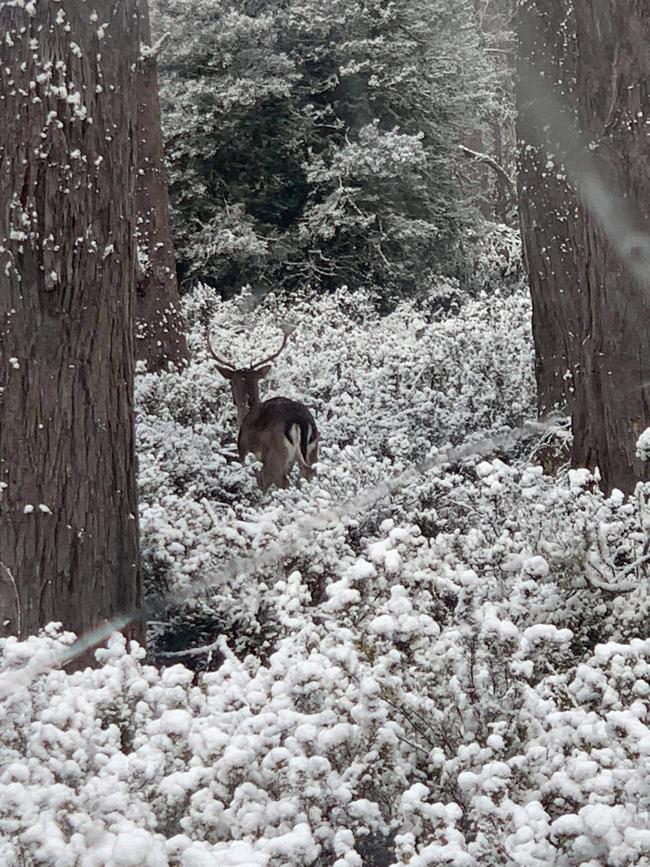
A COLD blast has brought a winter wonderland to parts of the state, with Tasmanians revelling in snowfalls.
Hobartians woke to a dusting of snow on kunanyi/Mt Wellington on Tuesday morning, with falls down to 500m throughout the day.
Severe Weather Update: Damaging Winds and Snow for SE Australia.
— Bureau of Meteorology, Australia (@BOM_au) July 20, 2021
Damaging winds, cold temperatures, #snow to low levels & hazardous surf to impact parts of SE Australia today & tomorrow.
For the latest: https://t.co/g0Eh0aznyW or the #BOMWeather app pic.twitter.com/p6TqWsV5dm
Angus and Ollie Smith, brothers from Lindisfarne aged 4 and 1, were all rugged up as they were treated to a day out at Mt Wellington with grandmother Katrina Gill and aunty Jess Gill.
Meanwhile, at the Great Lake in the Central Highlands, temperatures dipped well below freezing and visitors enjoyed falling snow.
“It’s currently about -3 degrees and we’ve had a few families in with young children that have been able to play in the snow and make a snowman,’’ Great Lake Hotel site manager Jacki Miller said on Tuesday.

Bureau of Meteorology senior forecaster Deb Tabor said a cold front across the state had brought chilly temperatures across many parts of Tasmania.
A chilly start to the day is forecast for many areas on Wednesday and Thursday.
‘Winter 2.0 is coming’: Cold blast to bring snow, hail - Tuesday, 10am
Snow down to 500 metres, showers and hail is expected today across Tassie as two strong cold fronts pass through the state.
Road closures are already in place — with Pinnacle Rd at The Springs closed due to snow, and a pre-emptive closure for Bracken Lane, Fern Tree for 2pm.
Hobart locals woke up to see Mt Wellington dusted with snow this morning, with further falls predicted at just 500m throughout today.
“There is a cold front crossing (Tuesday) that will bring a cold and vigorous south-westerly change that will reach the west and south in the morning and then the north and the east by the evening.” said Bureau of Meteorology forecaster Deb Tabor.
A strong and cold southerly change moves over #Tas Tuesday afternoon and night. MetEye: https://t.co/OJjLFDbSjr
— Bureau of Meteorology, Tasmania (@BOM_Tas) July 18, 2021
gives an indication of where snow is likely to fall, and this image in particular is for 7 to 10pm. pic.twitter.com/oz9RXN4Jas
The cool change will lower snowfalls from 500m to 700m across the state with the weather bureau issuing a warning to sheep graziers in the South East as icy conditions and possible snow showers set in across the region.
Another cold front is due to pass through this weekend leaving residents reaching for their winter woollies.
“Snow will lower to around 900m on Saturday evening and then we will see some colder air come, lowering falls to 800m on Sunday,” Ms Tabor said.
For the South East on Tuesday, there’s a high chance of showers, with possible hail late this afternoon and evening.
There’s a very high chance of showers in the west today, with snow falling above 700 metres from the afternoon. Possible hail in the west this evening. The chance of a thunderstorm in the far west this morning.
Tuesday, July 20: Snowfalls lowering to 500 metres during the day. Very high chance of showers with possible hail in the far south. Overnight temperatures falling to between 3 and 6 with daytime temperatures reaching between 6 and 11.
Wednesday, July 21: Snow falls forecast above 600 metres with a high chance of showers in the south. Overnight temperatures falling to between 1 and 4 with daytime temperatures reaching between 7 and 11.
Thursday, July 22: Partly cloudy with a medium chance of showers in the south. Overnight temperatures falling to between 3 and 6 with daytime temperatures reaching between 8 and 13.
Current warnings
Wind Warnings for Tuesday 20 July
Gale Warning for the following areas: Far North West Coast, Central North Coast, East of Flinders Island, Upper East Coast and Lower East Coast
Strong Wind Warning for the following areas: Derwent Estuary, Frederick Henry Bay and Norfolk Bay, Storm Bay, Channel, Central Plateau Lakes, Banks Strait and Franklin Sound, South East Coast, South West Coast and Central West Coast
Wind Warnings for Wednesday 21 July
Strong Wind Warning for the following areas: Far North West Coast, Central North Coast, East of Flinders Island, Upper East Coast, Lower East Coast, South East Coast and South West Coast

Man killed, woman injured after tree falls on 4WD ute while driving
A man has died and a woman seriously injured after a tree fell on their 4WD ute while driving in Tasmania’s North-West on Saturday. The latest >>

Libs blocking access to Marinus Link business case: Labor
Labor has accused the Liberals of blocking access to a business plan for one of the nation’s biggest energy projects, the Marinus Link undersea interconnector.