
Marine survey to help plan route of second interconnector cable
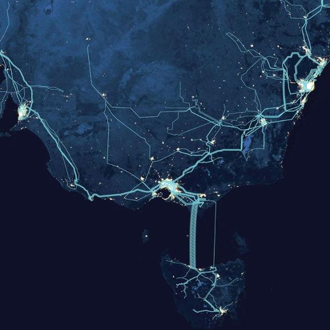
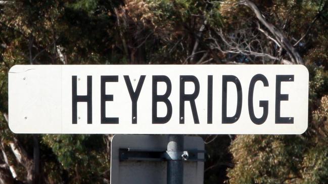
A marine survey is underway in Bass Strait to help plot the route of the proposed Marinus Link cable between Heybridge in Tasmania’s North West and Victoria.
North West Coast
Don't miss out on the headlines from North West Coast. Followed categories will be added to My News.
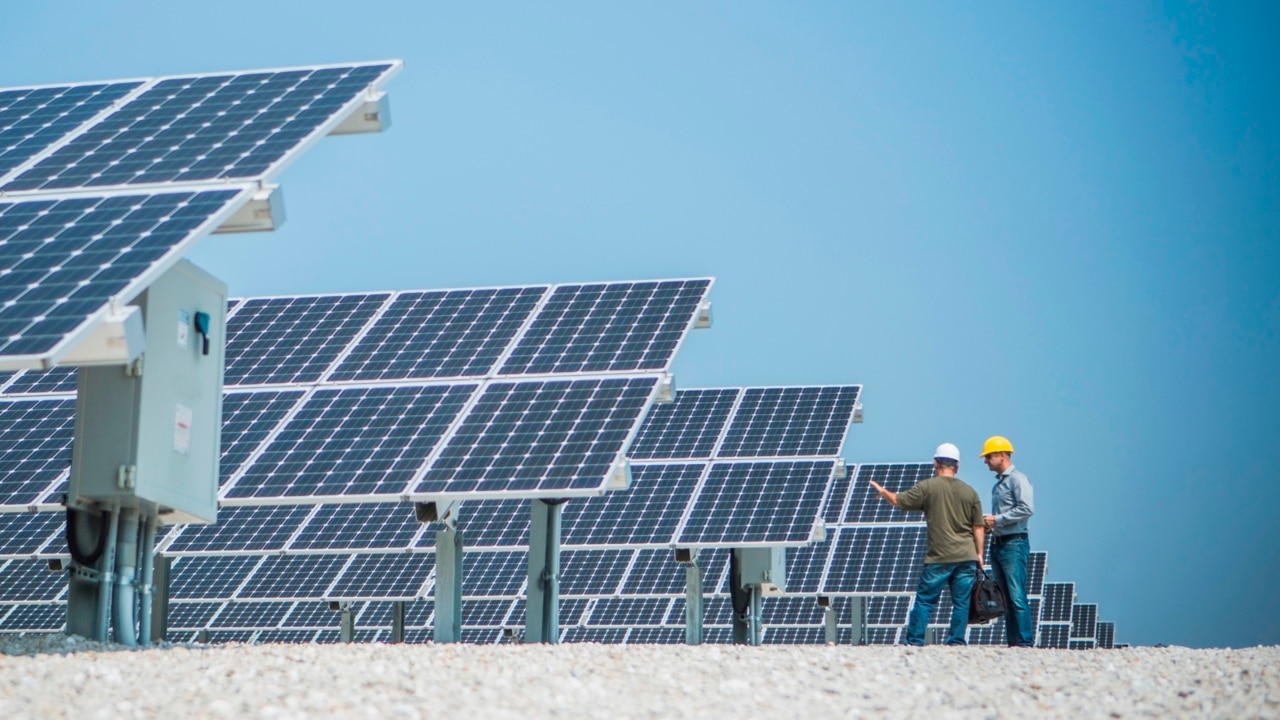
TASMANIAN marine survey specialists have departed on a seabed ecology survey across Bass Strait in preparation for the proposed Marinus Link interconnector.
The Marine Solutions survey will use underwater video to capture images of the fauna which live on the sea floor and sensitive seabed habitats such as reefs, outcrops, sponge gardens and seagrasses.
The non-intrusive survey is expected to take a week, depending on weather conditions and will examine underwater sites along the proposed route of the interconnector from the shore at Heybridge, near Burnie in the North West to Victoria.
The coastline near the Waratah Bay connection point will be surveyed at a later date.
Owner and director of Marine Solutions Sam Ibbott is leading the survey and will prepare the specialist report.
Cameras will be towed above the seabed at depths of up to 60m.
“We’ll be recording images at a whole range of points along the cable route across Bass Strait as part of the approvals process to make sure we’re not impacting any threatened or protected species,” Mr Ibbott said.
“We often partner with large businesses on the mainland or overseas to provide our services but it’s very nice to be working in our own backyard for a change.”
Marinus Link Head of Stakeholder Relations, Land and Environment Benjamin White said the survey would help build the scientific data informing the rigorous environmental and technical processes that will enable the company to “sensitively build this national-priority infrastructure.”
“The fact that we can do it with a Tasmanian vessel and Tasmanian crew, shows we are serious about sharing the vast economic, environmental and community benefits of Marinus Link with locals,” he said.
“Marinus Link is a key to unlocking Australia’s clean energy future, as it will provide access to Tasmania’s Battery of the Nation deep storage to back up wind and solar power and keep it reliable and affordable.”
The $3.5bn Project Marinus interconnector is a proposed 1500 megawatt electricity and telecommunications connection link along with supporting transmission network developments in Tasmania’s North West.
Marinus Link involves approximately 255km of undersea High Voltage Direct Current cable and 90km of underground HVDC cable.
It will also include converter stations in Tasmania and Victoria.
The current target date for commissioning and commercial operation of the first 750 MW stage is 2027-28.

‘Appalling’: Excess booze lands multiple islanders in court
A crayfisherman and a gardener were among a handful of King Island residents who faced a magistrate over drunken behaviour, with a magistrate blasting them for their antics.

Truckie who hit, killed pedestrian found guilty
A truckie who struck and killed a pedestrian as she crossed at the lights in Burnie’s CBD in 2021 has been found guilty of causing her death. WHAT HAPPENED IN COURT >>