
‘Life-threatening’ floods, thunderstorms to hit Queensland
Queenslanders are once again bracing for wet conditions – but it was an accidentally NSFW detail in one weather graphic that caught their eye.


Environment
Don't miss out on the headlines from Environment. Followed categories will be added to My News.
Queenslanders are once again bracing for intense rainfall, severe thunderstorms and potentially “life-threatening” flash flooding that’s set to signal an end to the state’s heatwave.
But it was an accidentally X-rated detail in one weather graphic – not the conditions – that caught people’s eye on Facebook.
“HEADS UP (This was not intended to look like this and tried to change it but unfortunately there is no way around it. We are suck with this picture lol.),” Brisbane Weather wrote in their update.
“Anywhere inside the drawn area can get severe thunderstorms today. These thunderstorms could produce very heavy rainfall leading to flash flooding. Please be prepared just in case.”
The blunder swiftly drummed up hundreds of NSFW comments and laugh reactions, with one man quipping, “My friends are located on the white lines near the top and say it’s been really sticky and moist. Down the bottom shows the direction of the wind that other friends have experienced. They said it’s been a bit of a hairy situation over the last few days.”
“As long as there is plenty of moisture it should slide away smoothly,” joked another woman, while another commented, “Looks like it’s going to blow today!”
“North Queensland getting shafted,” wrote another, while another said, “Really looks like we’re getting a pounding today.”
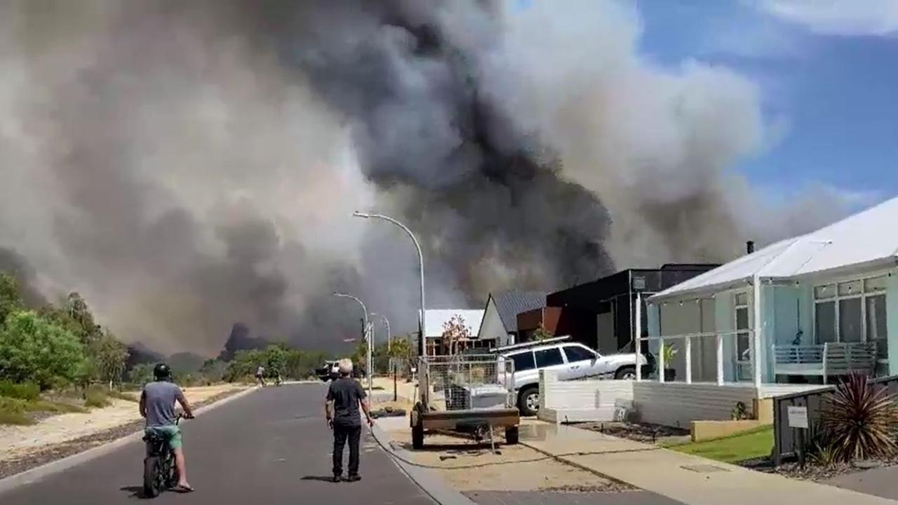
After a tornado and supercell caused destruction near Brisbane on Tuesday afternoon, residents were hit again just 24 hours later with stormy weather that wreaked havoc on the Queensland capital city and its surrounds.
Police reported multiple traffic delays and traffic light outages across the southeast, including blocked drains and stuck boom gates, both of which impacted traffic and created lengthy delays.
In Brisbane City, where severe storms passed through on Wednesday afternoon, 26mm of rain fell in the space of an hour, while Logan City copped 36mm in the same amount of time and some areas across the coast were dumped with up to 73mm of rain in just a 30-minute period.
Stream more weather news live & on demand with Flash, a dedicated news streaming service. New to Flash? Try 14 days free now >

More than 6000 homes were left without power at one stage, with Energex crews on standby in the southeast after Tuesday’s conditions left 30,000 homes without electricity.
“We aim to get power back for those people as soon as the cells pass and the crews can safely restore it,” Energex spokesman Justin Coombertold The Courier Mail, adding that technicians worked through Tuesday night to restore power.
“We’ll also be watching the next band of storms coming through and keeping a close eye on that, with crews on standby ready to go if needed.”
âš ï¸â›ˆï¸ Thursday's Thunderstorm Forecast: Severe storms are likely on Thursday throughout eastern QLD and coastal districts. A high risk of heavy to locally intense rainfall leading to flash flooding, particularly in the east. https://t.co/FBmpsInT9opic.twitter.com/IgSVltVTNK
— Bureau of Meteorology, Queensland (@BOM_Qld) February 2, 2022
But the chaos isn’t over yet; Sky Weather meteorologist Alison Osbourne urged Queenslanders to be on the lookout for further wild conditions on Thursday.
“Life-threatening flash flooding is once again a risk over Brisbane and the surrounding areas as a band of rain and storms with it starts to push towards the coast today,” Ms Osbourne said.
While the system should “push out to sea by the end of the week, until then, things will get wild”.

A southerly wind change is pulsing through southeast Queensland on Thursday, “dropping the temperatures but bringing the rain, with showers and storms contracting to coastal districts by the weekend”, Ms Osbourne said.
“Today, storm risk straddles much of Queensland, from the Gulf Country all the way through to Northern NSW. However, areas from the Central Highlands — places like Emerald — all the way down to Brisbane has the risk of heavy rainfall and potentially life-threatening flash flooding,” she added.
“Rainfall rates will be intense, and water run-off will be a risk.”
Minor to moderate flood watches are in place for southeast Queensland and the Northern Rivers, with fears the rainfall over the next 48 hours could overwhelm river catchments and as much as 150mm could fall.
Wild thunderstorms have lashed South East Queensland this afternoon. This was the view from one Yarrabilba backyard a short time ago. Full details on 7NEWS at 6pm. https://t.co/VZ3A1cpmr5#qldweather#7NEWSpic.twitter.com/vLfGbM7sAs
— 7NEWS Brisbane (@7NewsBrisbane) February 2, 2022
The clean-up continues today after a large storm cell moved through the Scenic Rim & Logan.
— Qld Fire & Emergency (@QldFES) February 2, 2022
After another hot and humid day, there’s a possibility of severe thunderstorms and heavy rainfall across much of southern Qld later today.
For storm assistance phone the SES on 132 500. pic.twitter.com/IBDwQ0dyxf
A small silver lining is that temperatures will finally start to drop on Thursday afternoon, particularly over Brisbane and the Gold Coast, after days of extreme humidity.
Bureau of Meteorology (BOM) senior meteorologist Harry Clark had a similar message on Wednesday, saying that “rain and severe thunderstorms are very likely” once again for Queensland.
“Storm activity will start clearing from the south tomorrow afternoon because of a strong southerly change, which will move up the coast from the south, clearing out humidity and dropping temperatures and removing the risk of severe thunderstorms,” he said.
The focus of the thunderstorms and showers will shift north of the Wide Bay on Friday, and north of Townsville.
Originally published as ‘Life-threatening’ floods, thunderstorms to hit Queensland
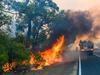
Leave now: Bushfire threatens coastal town
Authorities have warned residents of Dunsborough in West Australia to leave now as a major bushfire threatens homes.
‘Dire’: Shock drought reality hitting Aussies
Young mums are running out of water and farmers are on the brink as one state battles widespread drought conditions.
Community forced to self-evacuate in cyclone
A remote community in the Pilbara was forced to self-evacuate overnight as floodwaters in the wake of Cylcone Zelia threatened the town.
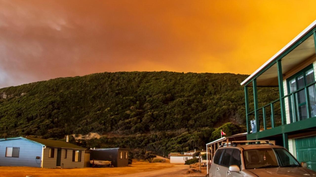
‘Volcanic’: Aussies battle raging fires
Residents in one state have captured startling photos showing apocalyptic scenes as they confront a complex web of bushfires.

‘Go home’: Albo heckled by angry mob
The Prime Minister was booed by activists fuming over wind farms while greeting supporters at a media event on NSW’s South Coast.
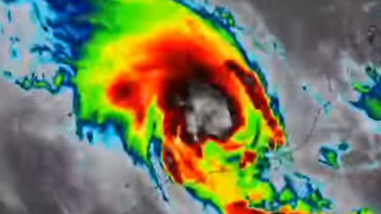
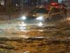
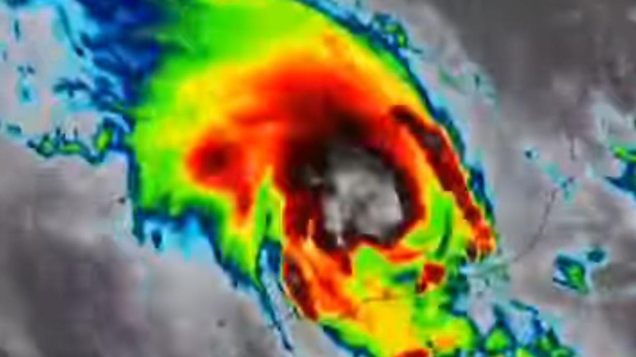
Monster cyclone to dump 500mm of rain
A ferocious cyclone has hit the Australian coast, with authorities warning of “destructive” winds and up to 500mm of heavy rainfall and possible flash flooding.