
Flood report calls into question effectiveness of warning system
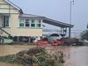
The timing of Grantham’s flood siren came into question in the hours after the town was hit by a wall of water in February and now the Queensland Reconstruction Authority is calling on the state and federal governments to do something about it.

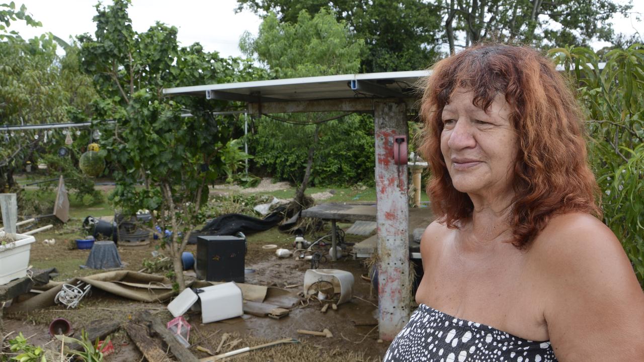
Yvonne Darlington remembers hearing the first time Grantham’s warning siren sounded during the February flood.
In her opinion the siren came far too late to be of any help.
“If it came earlier, it would have given us more time to move our stuff to higher ground,” Mrs Darlington.
The timing of Grantham’s flood siren came under fire in the days after February flood and the residents who spoke up about it have been vindicated by a report released by the Queensland Reconstruction Authority on Monday.
It found the flood warning system across much of southeast and southwest Queensland was patchy and unreliable.
The State Recovery and Resilience Plan report called for the state and federal governments to provide more funding to local governments for flood cameras and gauges in creeks across the state.
About 44 per cent of Australia’s flood warning infrastructure is in Queensland with the Bureau of Meteorology drawing data from more than 3400 rainfall and river gauges which are operated by more than 50 companies and local councils.
For Mrs Darlington any extra information would have been appreciated because she had no way of knowing what was coming.
She is one of the only Grantham residents who still lives in the middle of the Sandy Creek flood plain after Lockyer Valley Regional Council offered her neighbours a land swap.
It was an offer she couldn’t accept because her husband’s water carting business was tied to their property.
“We started moving stuff into the house at 12pm and then the water started coming into our backyard,” Mrs Darlington said.
“We had seen it happen before and by 2pm it was like a river flowing under our house.”
“We stayed in the house because we thought we’d be okay, that the water wouldn’t go any higher than the 2013 flood, but we were wrong.
“We had to be rescued.”
Along with calling for more cameras and gauges, the report found more needed to be done to integrate the existing system, to give an accurate, real-time picture of flood levels.
The report has also called for a shake-up to local government zoning laws to stop developers building homes in flood-prone areas.
“Modern flood mapping provides a highly accurate forecast of at-risk areas or designated flood plains, which should in turn guide councils in their zoning,” state recovery co-ordinator and report author Major-General Jake Ellwood said.
“However, just because an area is at risk of flooding does not necessarily mean it cannot be used for other purposes, such as community activities.
More Coverage

Downlands graduates mark the end of school years with Final Mass

‘Whole Christmas message’: Readers react to Nativity scene return

Groundbreaking melanoma detection technology second in Queensland

700m stretch of major road to drop to 60km/h

Army band marches into Toowoomba with festive show
