
BOM announces flood watch as more rainfall is predicted
The Bureau of Meteorology has issued a flood watch warning after parts of the region receive a healthy lashing of rainfall.
Toowoomba
Don't miss out on the headlines from Toowoomba. Followed categories will be added to My News.
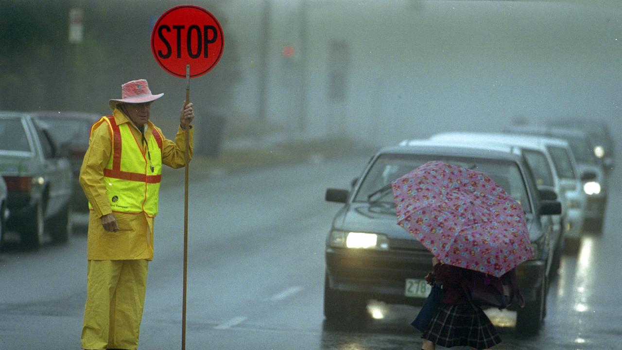
The Bureau of Meteorology has issued a number of flood warnings for parts of southern and western Queensland, including a current flood watch for northern parts of the Darling Downs and Maranoa regions in anticipation of possible further rainfall today.
BOM Meteorologist Matt Marshall said the flood watch has been issued in the possible chance these regions receive thunderstorms later this afternoon.
“The watches were really just issued in anticipation of further rainfall that could fall today, as there is a slight potential for a thunderstorm to form in the northern Darling Downs region later today,” he said.
“It’s still at the lower end of the flood watch at the moment as the rainfall does seem to be easing with very little potential for major thunderstorms and flash flooding coming your way.”
Mr Marshall said northern parts of the Downs can expect more rainfall this afternoon and this evening with conditions beginning to clear tomorrow and into the later part of the week for fine conditions this weekend.
“There’s still potential for a storm to push further north over Toowoomba from tomorrow but it is a small chance as it’s all really expected to clear up as we come into weekend,” he said.
According to BOM, the Darling Downs weather station to record the most rainfall since 9am Tuesday is Fifteen Mile with a healthy 39 millimetres, followed closely by Spring Bluff with 38 millimetres while the Toowoomba Station has only received 28 millimetres.
When BOM issues a Flood Watch is simply means people living or working along rivers and creeks should monitor the latest weather forecasts and warnings.

Woman dies in head-on crash
A woman has died in a two-car crash on a rural road south of Toowoomba. DETAILS

Queensland silica mine sinks with $32m debt
A new mine near Toowoomba has gone into administration owing $32m before it ever started extracting from the ground.

‘Please support us’: Teachers ask for parents’ help as strike looms
Parents are being asked to keep their children at home after Queensland Teachers Union members overwhelmingly vote to go on strike, leaving classrooms empty.

$20k worth of meth thrown over fence during police pursuit
While being chased by police, two people allegedly threw away a bag containing a large amount of meth, cash and other drugs.

Do teachers really have it that bad? We crunched the numbers
Queensland teachers have voted overwhelmingly to strike over pay, but how do their salaries compare to nurses, police and retail workers? SEE THE WAGES

State-of-the-art technology helps to bring comfort to palliative patients
St Andrew's Toowoomba Hospital has received the Garden City’s first cuddle bed, allowing terminally ill patients to share precious final moments with their loved ones.