
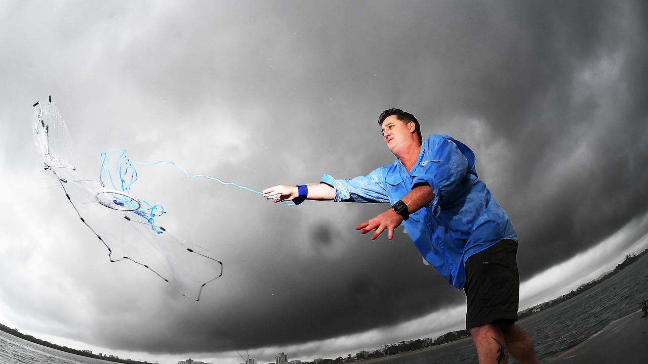
Double digit rainfall and thunderstorms set for Coast this week
Double digit rainfall totals and thunderstorms have been forecast for parts of the Sunshine Coast later this week, according to the weather bureau.

Sunshine Coast
Don't miss out on the headlines from Sunshine Coast. Followed categories will be added to My News.
Double digit rainfall totals and thunderstorms have been forecast for parts of the Sunshine Coast later this week, according to the weather bureau.
The bureau has forecast Monday and Tuesday to be relatively "benign" thanks to a high pressure ridge but forecaster Kimba Wong said it would likely change from Wednesday to Friday.
Ms Wong said the change was due to a combination of an inland surface trough that's currently unstable and a series of upper troughs moving north.
Couple awarded $200k after investment scheme fails
Crews rush to peak-hour car fire on Coast
"The inland trough is slowly moving east and it's quite moist and unstable, then we also have a series of upper troughs," Ms Wong said.
"It depends how amplified they are, but there's plenty of moisture in the atmosphere to trigger storms.
"Mid-range rainfall in double digits which could continue to Friday."
Ms Wong said humidity levels were rising which would likely fire up any storm potential.
Slightly above average temperatures of 29-30C have been forecast for Maroochydore on Monday, up on the March average of 28C.
Overnight temperatures of 20C are expected.
Ms Wong said despite no hazardous surf warnings a large southerly swell remained offshore which would impact any open beaches, particularly north of Noosa Heads.
Originally published as Double digit rainfall and thunderstorms set for Coast this week

Moment of truth for Premier’s key election promise
Premier David Crisafulli’s flagship election policy to reduce the number of victims of crime will be put to the test today with the release of critical data.

Perv jailed after stalking woman outside her home while naked
A man who escaped a stint behind bars for exposing himself to children has ran out of luck after stalking a woman outside her home while touching himself with no clothes on.

$888m lost: Qld’s worst pokie hotspots revealed
Queenslanders are losing more than $888 million as the state’s worst pokie hotspots can be revealed. Search our interactive table and see how your suburb compares.

‘Aussie legend’ claims dramatic Tour de France stage win
Gympie celebrates after one of their own, cyclist Kaden Groves, claims a major victory in stage 20 of the Tour de France.

Southside study reveals real cost of ignoring mental health
Taxpayers could save $482 million over the next decade if governments tackle root causes of mental distress in Brisbane’s southern suburbs and Logan, a groundbreaking study has found.

WATCH: Chaos after car catches fire on major road
A passing motorist has captured the dramatic moment a car burst into flames on a major Sunshine Coast road.