
Qld weather: Temperatures drop as South East cops first wave of twin polar blast
South East Queensland has been hit with widespread frost as temperatures plummet thanks to the effects of a twin polar blast, and forecasters warn there is worse to come.

QLD News
Don't miss out on the headlines from QLD News. Followed categories will be added to My News.
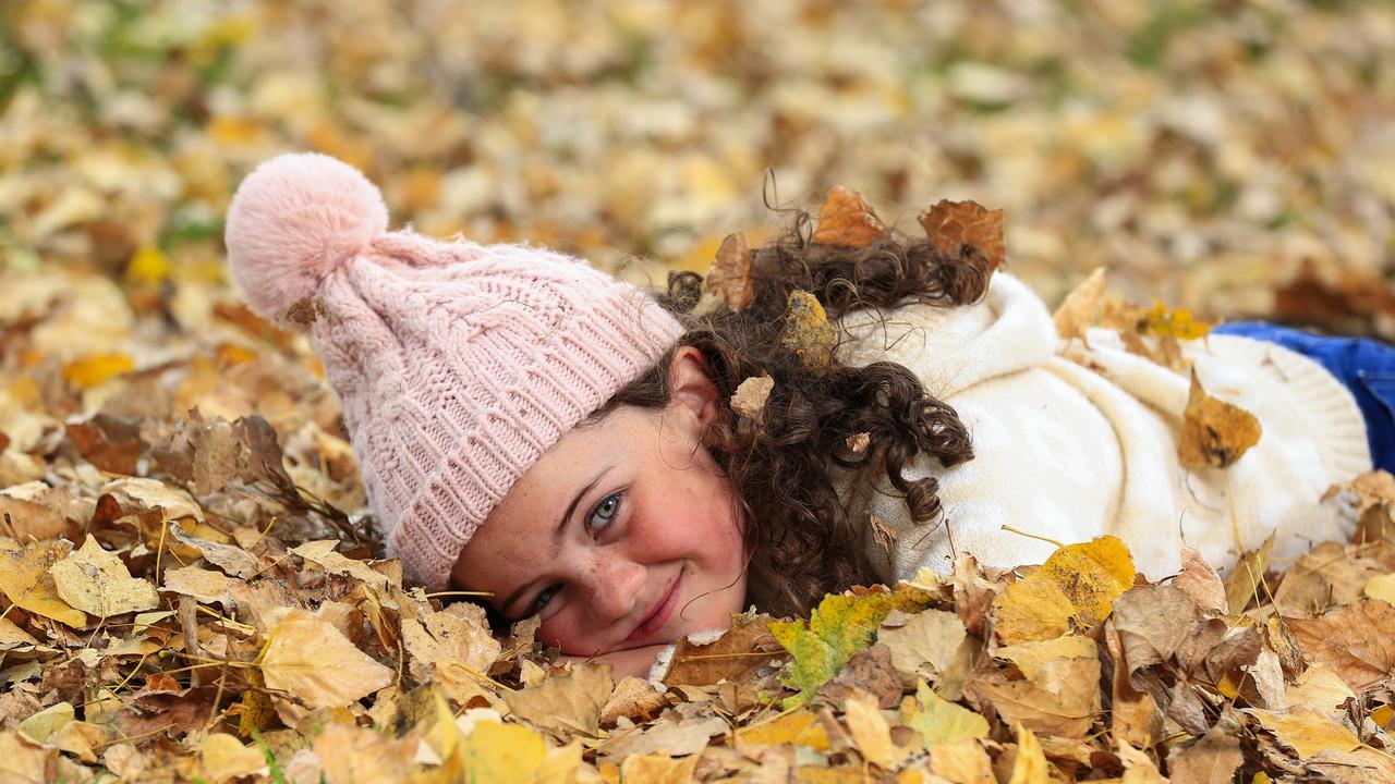
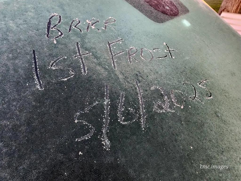
Many areas across southeast Queensland have experienced their coldest day so far this year as the beginnings of a cold snap brought by twin polar blasts begin to have an impact.
In the Darling Downs and Granite Belt region, which copped the worst of the cold weather, Oakey froze at 0C, while Toowoomba copped 2.9C, Dalby 0.9C and Applethorpe 0.3C.
Apparent temperatures, which take into account wind speed and humidity as well as air temperatures, plunged below freezing to -2.6C in Dalby, -1.5C at Wellcamp Airport and -1.2C in Applethorpe.
Further inland, Charleville woke up to a chilly 0.2C, with an apparent temperature of -1.8C.
Senior Meteorologist Jonathan How said there would be frost right across Queensland and over the New South Wales border on Thursday morning, with temperatures set to drop again in the evening.
Brisbane CBD dropped right down to 11.3C, Brisbane Airport dropped to 9.7C and 9C in the Redlands.
“Queenslanders will be waking up to plenty of frost around this morning, but thankfully no big areas of fog,” he said.
“The upside of a cold morning is that it will be a beautiful sunny day today. But we are expecting more cold temperatures tonight, even colder than this morning. So Brisbane will be dropping down to 9C tonight.
“We can expect to see more frost right across southern Queensland from tonight.”
Mr How said the earliest New South Wales and Queensland border could see snow flurries would be Sunday night and Monday morning as another cold front sweeps across the southern states from Sunday.
“There is a possibility of snow flurries across those high peaks in the Tablelands and near the New South Wales border,” he said.
“So for the Granite Belt, there will be a watch point for the possibility of some snow flurries around some of the high peaks. It is not incredibly likely, it is more of a possibility.
“The cold blast should be expected to hit Queensland on Monday night and into Tuesday morning.”

Originally published as Qld weather: Temperatures drop as South East cops first wave of twin polar blast

Back to the future as Big Brother’s filming location confirmed
After months of speculation and calls from diehard fans for a nostalgic full-circle moment, Big Brother will return to its spiritual home.

The Sunday Quiz: Which town was the Royal Flying Doctor Service born?
Vietnam is east of Thailand, true or false? Giannis Antetokounmpo plays for which US basketball team? Put your knowledge of trivia to the test with The Sunday Quiz.

Revealed: Qld’s most expensive car seized in traffic debt crackdown
Queensland motorists accumulated nearly $1 billion in debt as a record number of vehicles were seized in a crackdown, including high-end sports cars.

New data shows impact of Qld’s youth crime crackdown
Six months after the introduction of the state government’s tough new laws for serious youth offenders, the results are in.

I don’t care what anyone says, my Aussie playlist is the best
Nothing can bring us back to our youth like music can and that’s why the Triple J Hottest 100 Aussie songs of all-time is a pointless debate, writes Fran Whiting.

Country singer’s lifesaving call during the middle of gig
When this powerhouse Brisbane country vocalist’s phone rang in the middle of a lunchtime gig she had a feeling it was important and her hunch was correct.