
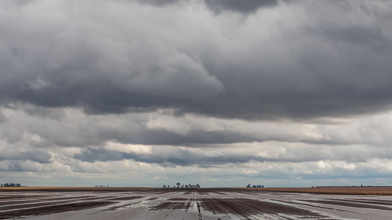
Slow-moving thunderstorms roll in, after man’s tragic floodwater death
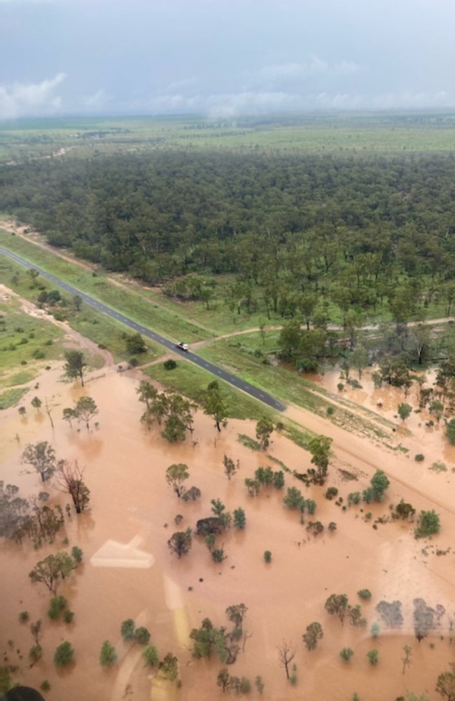
Several roads have been cut in South East Queensland, including a border crossing, and campers marooned by flash flooding.
QLD News
Don't miss out on the headlines from QLD News. Followed categories will be added to My News.
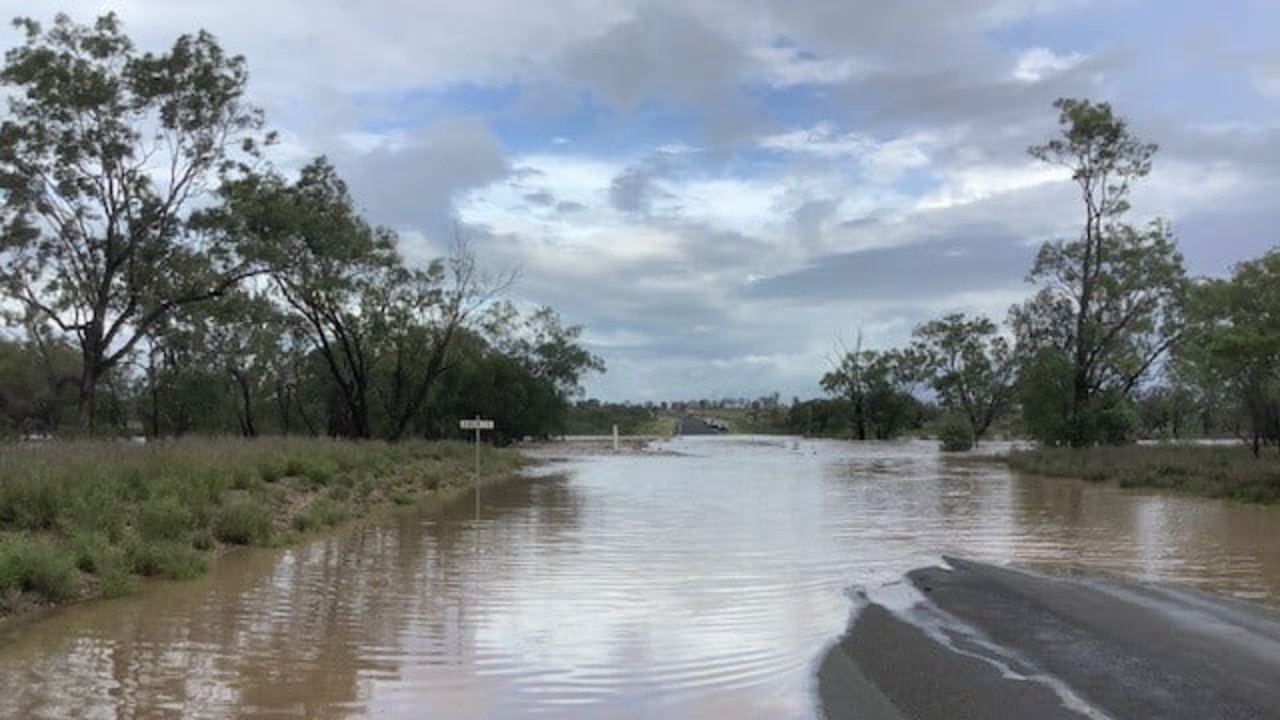
Flash flooding has forced the closure of multiple roads, including Queensland’s southern border crossing on the Mt Lindesay Highway.
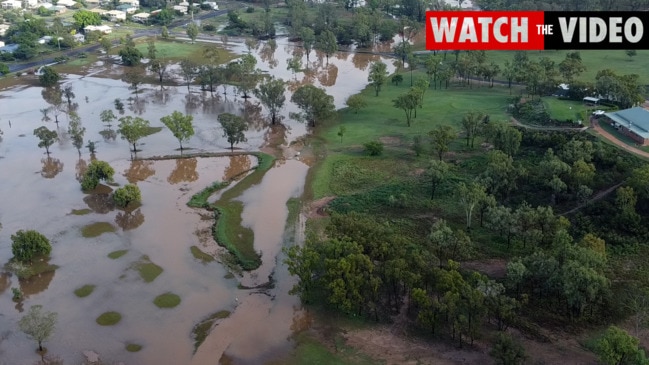
Heavy rainfall across southern parts of South East Queensland has caused flash flooding, with SES crews fielding many calls for assistance.
Regions such as Beaudesert, Palen Creek and Rathdowney had been heavily affected, with isolated instances of flash flooding elsewhere in the region.
Campers at a site in Barneyview, near Mt Barney, have been cut off due to rising waters and required assistance from an SES crew.
As of 10pm, there had been no swiftwater rescues required.
Earlier on Friday night, several locations were reporting heavy rainfall.
And on Friday morning the body of a man was pulled from a ute that became submerged in floodwaters in Central Queensland.
The vehicle was spotted by a member of the public off Gregory Hwy in Hibernia, near Clermont, just after 7am.
“The male driver and sole occupant of the vehicle has been located deceased,” police said in a statement.
“Recovery of the vehicle may take some time due to the location and current weather conditions.”
A Queensland Fire and Emergency Services spokeswoman confirmed that the man’s body had been retrieved by a swift water rescue crew this afternoon.
“The vehicle was located in some water but we don’t know how it got there,” she said.
“Our personnel were assisting police with extricating that person from the vehicle and that has been done.”
Just tragic. Police still working to retrieve the vehicle. Road is still closed just north of Capella (and just south of Clermont) 📷: north of Capella https://t.co/TVNHN3Eguh pic.twitter.com/bXkyAGliah
— Katrina Beavan (@katrina_beavan) November 26, 2021
Three extra fire crews – including the specialist swift water crew – were stationed at Emerald by QFES after the region experienced heavy rainfall.
The Southern Highlands region at Clermont had 169mm since 9am yesterday, bringing the regional town’s 48hr rainfall to more than 270mm.
In a night of wild weather, flash flooding forced residents living in Rubyvale and Sapphire to secure their belongings and move to higher ground.
An emergency alert was issued by the Central Highlands Regional Council regarding flash flooding in the Rubyvale and Sapphire areas on Thursday at 9.30pm.
That emergency alert has since been cancelled, with flood warning sirens turned off in Sapphire about 1am.
However, the council advised water was continuing to rise and residents should stay alert and seek higher ground if required.
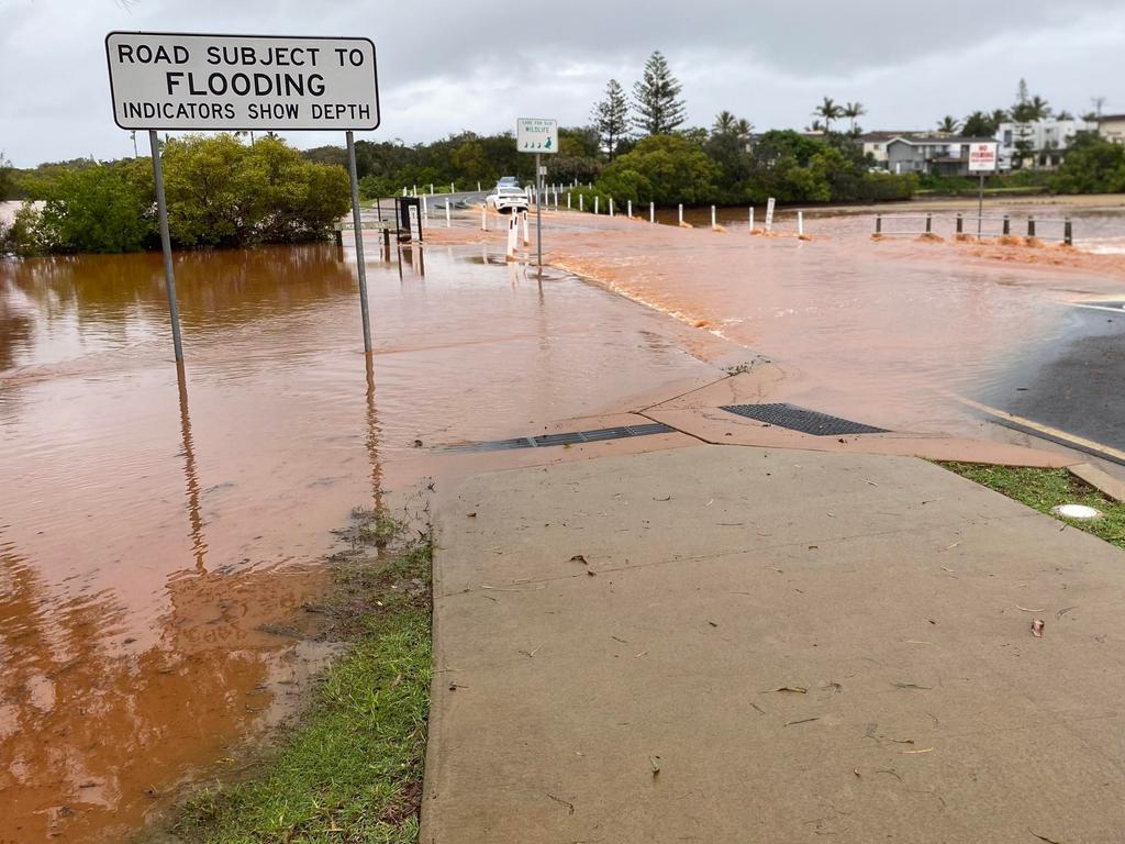
It comes as Queenslanders have been warned to brace for more heavy rainfall, storms and flooding after multiple regions copped more than 100mm overnight.
The bureau’s senior meteorologist Jonathan How said Bundaberg was drenched by an “absolutely incredible” downpour of 190mm overnight, with more on the way for most of eastern Australia.
SCROLL DOWN FOR THE LATEST FLOOD WARNINGS
“Unfortunately, this wet weather will continue for the rest of today and into the weekend. “We’ll see plenty of showers, storms, through eastern Victoria, Canberra, Sydney and Brisbane and the Gold Coast as well,” he told Sunrise on Friday.
The South East is expecting up to 50mm of rain this morning, which could lead to flooding after parts of the region copped large falls on Thursday, while thunderstorms are also likely and could cause localised flooding.
Communities close to more than 30 rivers and creeks across the state are bracing for low to moderate flooding.
“The southern half of the state, at least, is either in flood or on flood watch,” BOM meteorologist Helen Reid said.
“And if you’re not in flood you need to be mindful and on the lookout for rising river levels.”
The heaviest rainfall expected in the Central West, and Central Highlands and Coalfields and then in catchments along the coast between Rockhampton and Hervey Bay.
A flood watch is also in place for 30 rivers across the state, after “almost every town in Queensland” saw rain in the past 48 hours, according to Sky News Chief Meteorologist Tom Saunders.
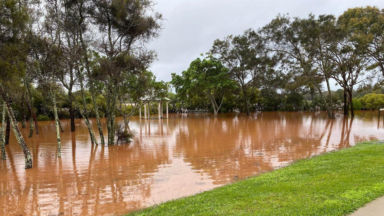
Bundaberg had the highest rainfall, copping 191mm since 9am yesterday, followed by 187.5mm at Bundaberg South.
The Southern Highlands region at Clermont had 169mm bringing the regional town’s 48hr rainfall to more than 270mm and Awoonga Dam, near Gladstone, had 157mm.
BOM meteorologist Kimba Wong said there were a number of regions across Queensland that were on flood watch, including Rubyvale in the Central Highlands which had experienced “flash flooding after heavy rainfall” and the southern border rivers including the Macintyre.
Ms Wong said Brisbane had “avoided the worst” of the heavier falls but could have up to 50mm more rain today.
“Brissy has managed to avoid the worst of the heavier falls but most gauges in the outer city suburbs have had 10 to 30mm, while close to the middle of the city recorded 5-15mm,” she said.
The Bureau has forecasted a wetter than usual summer with La Nina “fully established” in the tropical Pacific and other climate drivers bringing unstable weather.
“There are also shorter term climate drivers like the Madden-Julian Oscillation which is...moving through Indonesia and Papua New Guinea over the next fortnight bringing heavier rainfall,” she said.
Mr Saunders said “anywhere south of Ingham” should brace for rainfall across the next couple of days and into next week.
He said that while rain is set to ease on Saturday, an increase early next week across Queensland will see up to 100mm across the state’s coastline once again.
Flood Warnings are current for Eyre Creek, the Barcoo and Paroo rivers, Wallam Creek, the Condamine, Balonne, Moonie, Macintyre and Weir Rivers, the Dawson River and the lower Brisbane River tributaries. Further renewed river and creek level rises are likely.
The bureau is forecasting a wetter and more humid than usual summer at least until early next year for eastern Australia.
The bureau earlier this week declared a La Nina weather event was under way in the tropical Pacific, driving the wet, stormy and humid weather.
The La Nina weather phenomenon, linked to the shifting pattern of sea surface temperatures through the Pacific and Indian oceans, affects rainfall and temperature variations in Australia.
Typically, it is associated with heavier rainfall for eastern, northern and central parts of the country as well as a higher likelihood of tropical cyclones.
During La Nina, waters in the central or eastern tropical Pacific become cooler than normal, persistent southeast to north-westerly winds strengthen in the tropical and equatorial Pacific and clouds shift to the west, closer to Australia.
Flood Watch for widespread areas of southern Queensland
Catchments likely to be affected include:
Belyando and Suttor Rivers to Burdekin Falls Dam
Dawson and Don Rivers
Comet and Nogoa Rivers
Connors, Isaac and Styx Rivers and Plane Creek
Calliope River
Boyne River
Baffle Creek
Kolan River
Burnett River
Burrum and Cherwell Rivers
Mary River
Condamine Rivers
Macintyre River
Weir River
Moonie River
Balonne River
Wallam and Mungallala Creeks
Warrego River (QLD)
Paroo River (QLD)
The Big Warrambool River
Bulloo River (QLD)
Barcoo River
Thomson River

Originally published as Slow-moving thunderstorms roll in, after man’s tragic floodwater death
Join the conversation
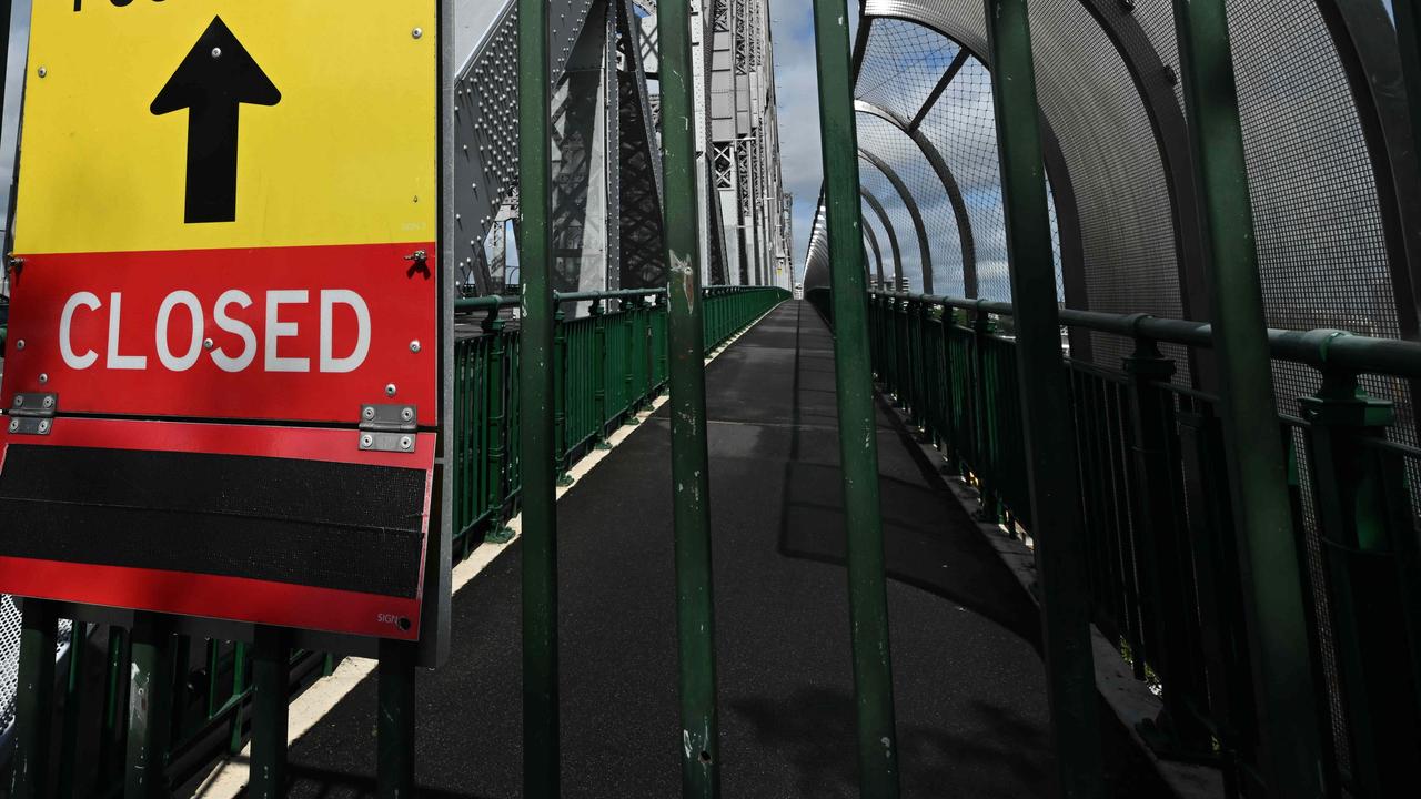
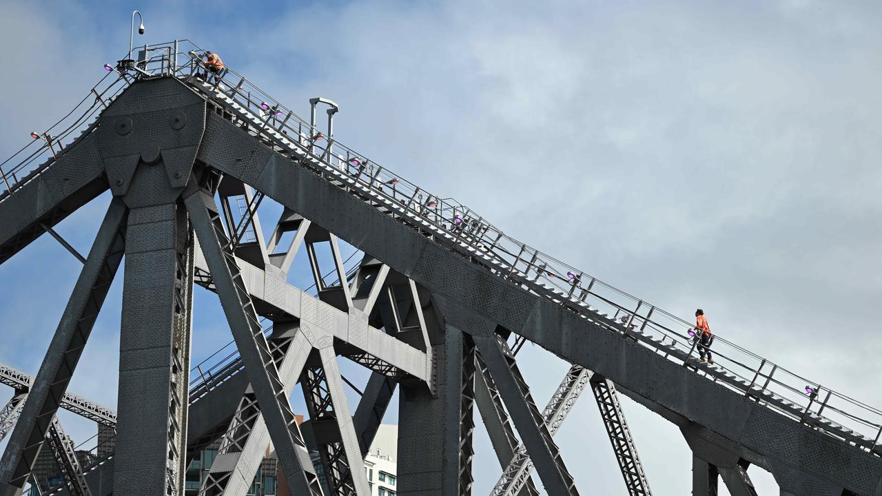
Toll, levy threat as Story Bridge’s shock state of disrepair exposed
Queensland’s Story Bridge is disintegrating so badly it could soon be turned back into a toll bridge or Brisbane ratepayers slugged a levy to pay for repairs to save it from demolition. VOTE IN OUR POLL
Read more
Editor’s view: One thing certain in race to save city icon
If Brisbane City Council can’t get money out of the state and federal governments for an upgrade of the Story Bridge, the other options are a toll or special levy. Either way, we know who’ll ultimately pay the price.
Read more

‘I complied’: Labor implodes as axed MP attacks ‘cheap political move’
The senior MP expelled for failing to comply with party rules has launched an explosive counteroffensive, attacking Steven Miles and declaring he’d “bled for” Labor.
Read more

Treasurer tells NSW what to do with $105m Covid quarantine bill
Queensland has rejected NSW’s latest request for reimbursement for hotel quarantine services during the pandemic. VOTE IN OUR POLL
Read more
Demolition is likely: The stark truth behind crumbling landmark
A new report has revealed the shock state of Brisbane’s Story Bridge. Here’s everything you need to know about the iconic landmark.
Read more

‘Funny and loving’ father chased to his death by teen, court hears
A father was trying to buy a few drinks for a gathering at his home when he was set upon by a “pack of cowards”, chased, knocked to the ground, and struck by a car seconds later, a court has been told.
Read more