
North Queensland severe weather: Heavy rains fall, flood alerts issued
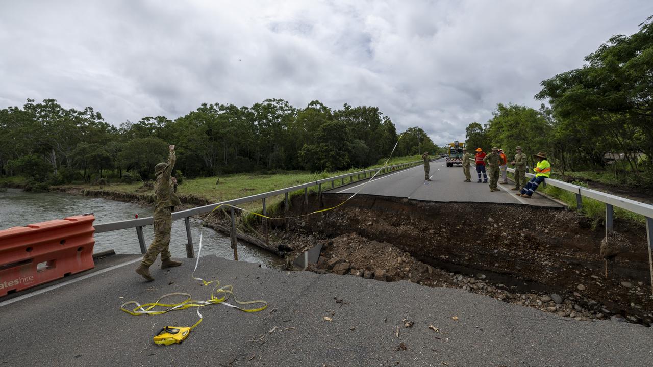
The newly repaired Ollera Creek Bridge south of Ingham is being put to the test as Townsville moves to ‘alert’ level due to severe weather lashing North Queensland.
News
Don't miss out on the headlines from News. Followed categories will be added to My News.
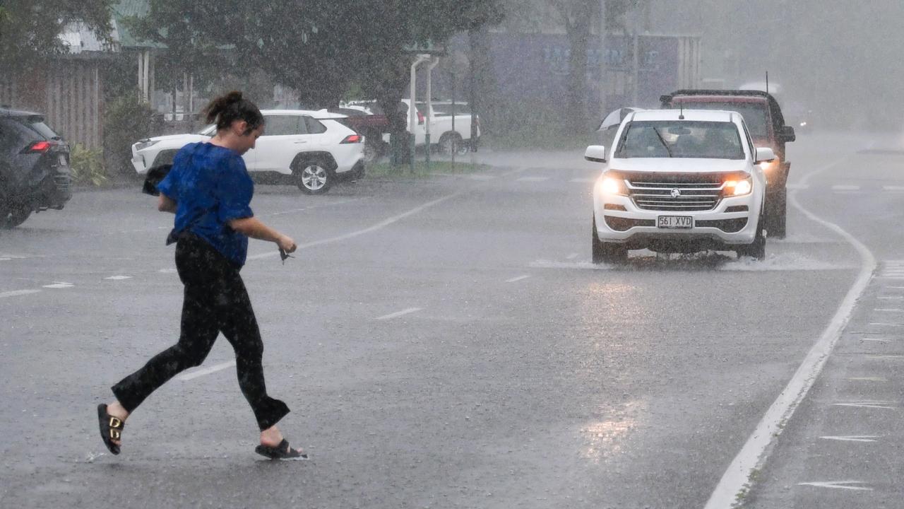
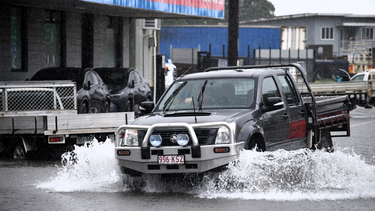
Heavy rainfalls of in excess of 200mm have fallen north of Townsville with the Bruce Highway severed near Ingham and flood warnings issued for the town still battling back from the recent deadly disaster.
The Townsville Local Disaster Management Group (LDMG) announced just after 1pm that it had moved to “alert” level as rainfall continues to batter the rain-soaked region, with the severe weather forecast to persist through the week.
“There is a chance of heavy to isolated intense rainfall over the next three days, which could lead to localised flooding in low-lying and flood prone areas,” it warned.
“Conditions could become dangerous.”
TLDMG chair Andrew Robinson said residents should stay informed.
“At this point we need residents to stay calm, listen to advice and remain vigilant.”
He said low-lying and flood-prone areas across Townsville “may start to experience localised flooding as rainfall levels increase,” he said.
“Intense rainfall can cause localised flash flooding, potholes, and drive wildlife into suburban areas, so be careful when driving and walking in and around affected areas.”
With the Bruce Highway already severed north of Ingham, Mr Robinson reminded motorist to never risk driving through floodwaters.
“This is a good time to review your emergency plan with your household and make sure your emergency kit is ready.”
Sand and bags will be available for the community to collect from Lou Litster Park and Bluewater Community Centre at 3pm.
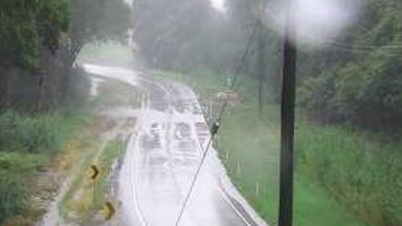
Waters are rising at the recently repaired Ollera Creek Bridge on the Bruce Highway north of Townsville.
The bridge was cut in two by floodwaters on February 2.
The vital crossing caused chaos for North Queenslanders with Ingham essentially cut-off to the south.
The bridge reopened to emergency services on February 6 and fully opened on to all traffic on February 11.
The Bureau of Meteorology has issued an initial moderate flood warning for the lower Herbert River at Halifax and the Bohle River.
Warning are also in place for Black River and Bluewater Creek.
A Watch and Act alert has been issued for the Lower Herbert area, with BOM advising moderate flooding is possible at Halifax on Tuesday afternoon.
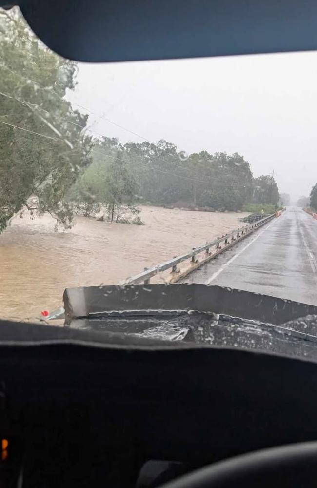
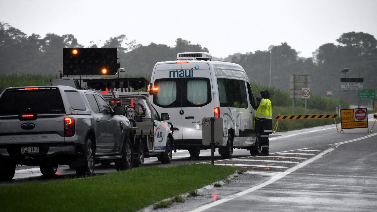
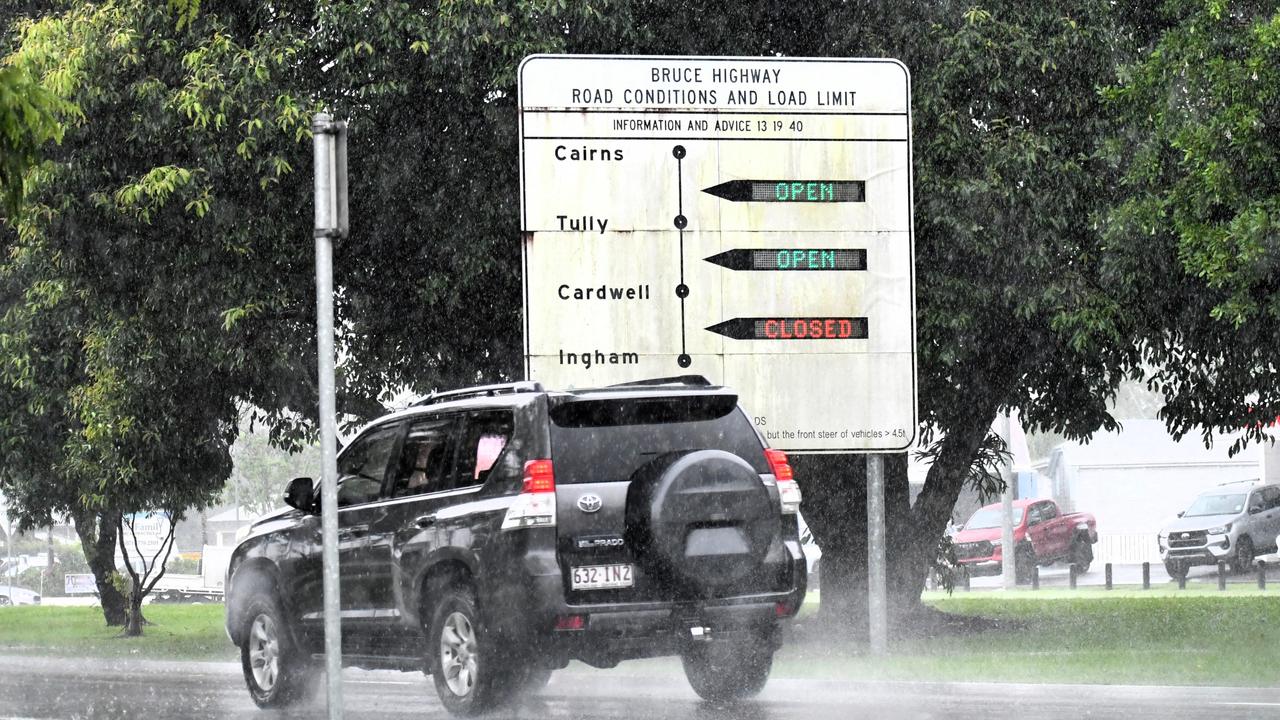
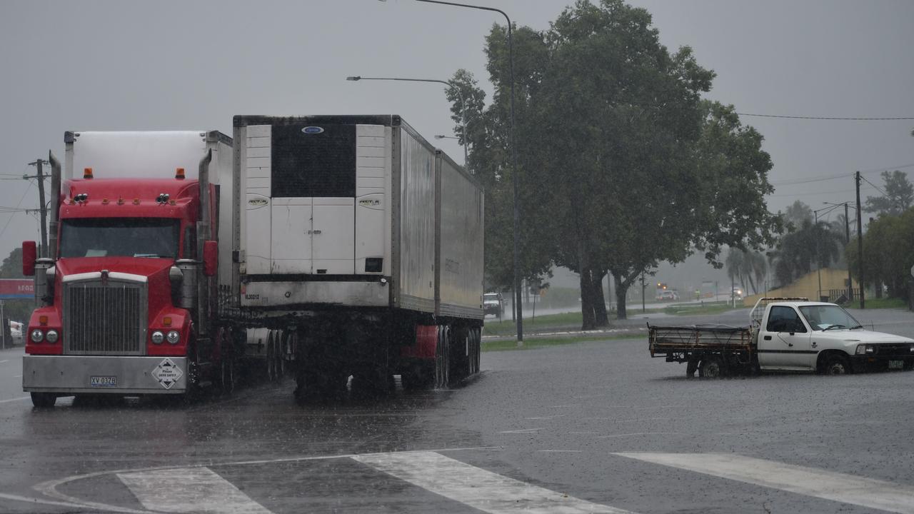
The Bruce Highway has been closed at the Seymour River north of Ingham, Transport and Main Roads says.
Surface flooding is also inundating the notorious Gairloch S-bend, as well as the Bruce Highway at Rollingstone north of Townsville.
More than 200mm of rain has fallen at Rollingstone in the last 24 hours.
Water that was beginning to cover both lanes of the highway on Tuesday morning was receding although further severe rain has been forecast.
Surface flooding was also beginning to accumulate on the Bruce Highway at Toobanna just south of Ingham.
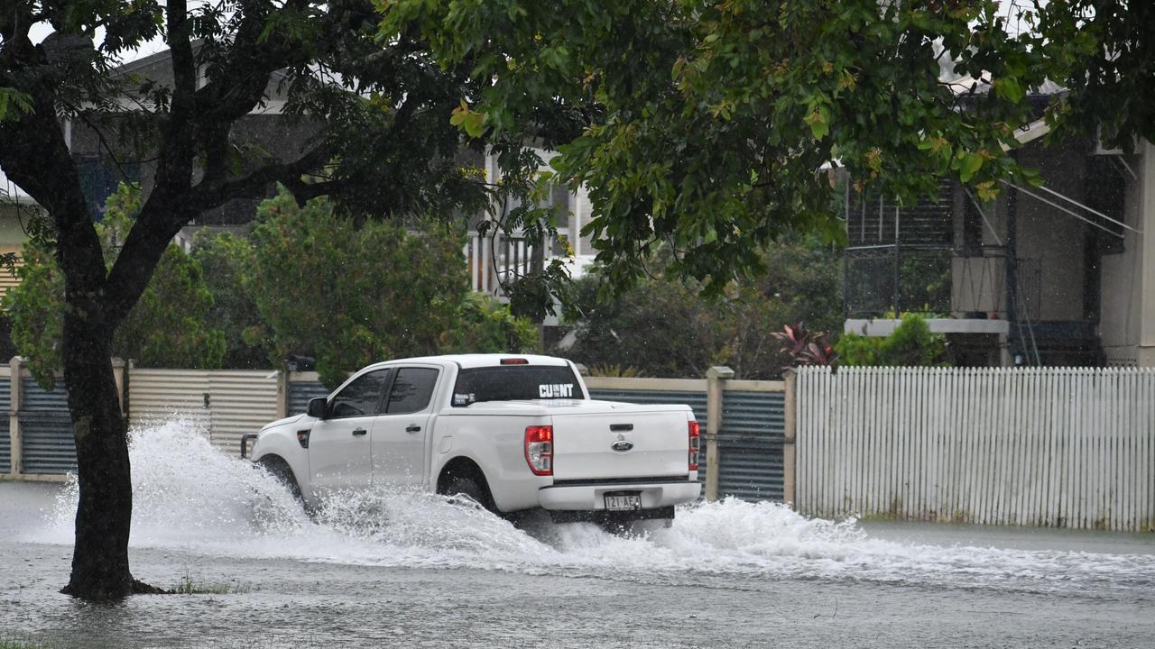
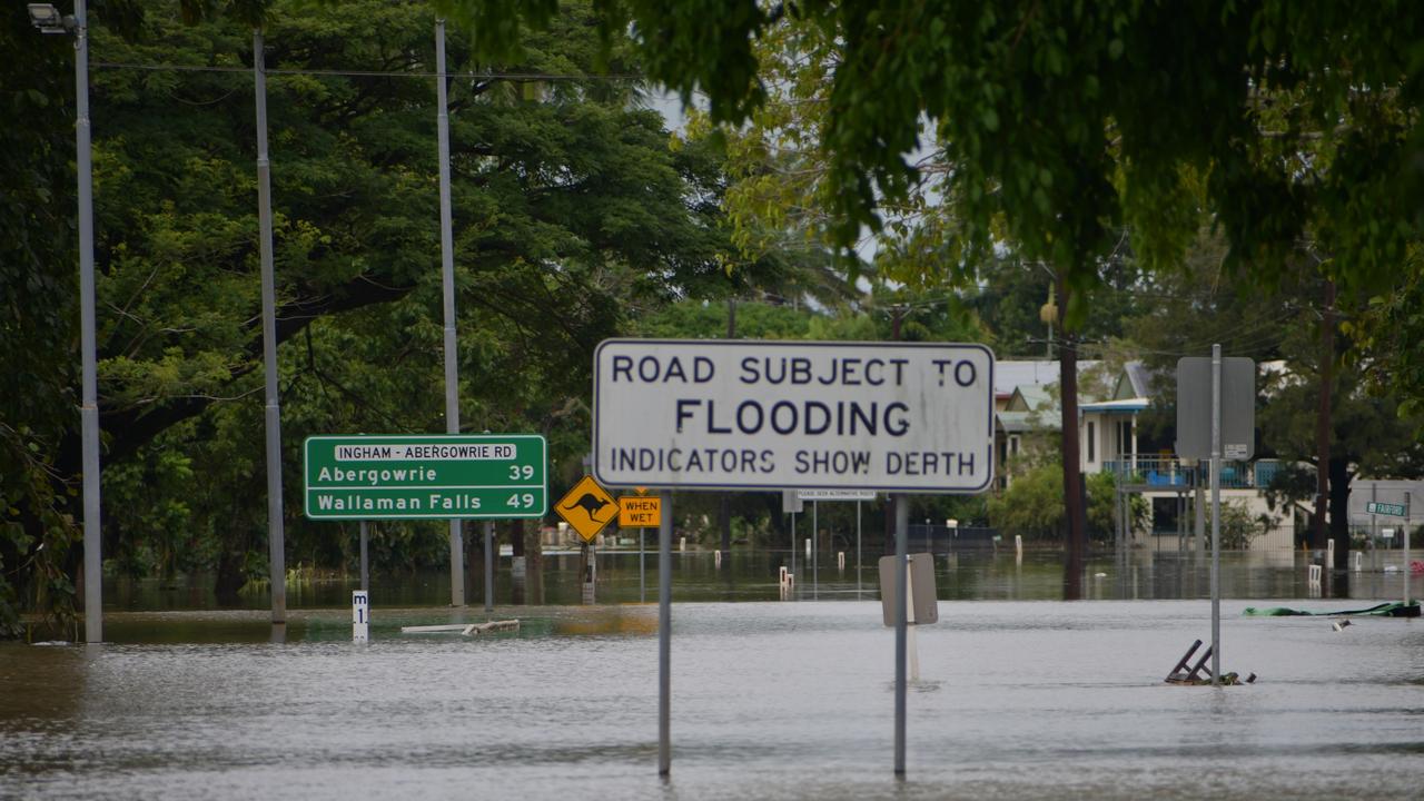
Ingham itself is also experiencing significant surface flooding, particularly in the north of the Hinchinbrook town.
BOM advised widespread areas of rain with isolated showers and thunderstorms are occurring across North Queensland.
Queensland Fire Department confirmed it had been contacted by at least one person concerned by rising floodwaters surrounding his home near the Seymour River in Bemerside north of Ingham.
A QFD spokeswoman said a crew from Ingham had been sent to Mount Cudmore Tower Rd to reports the man’s home had been surrounded by floodwaters at 10.50am.
She said the crew had been recalled as the man was not in imminent danger and had been “advised to stay put”.
One of the two fatalities in the recent Hinchinbrook flood disaster was from Bemerside.
The woman was pioneering Australian truck driver Elaine Steley, 82.
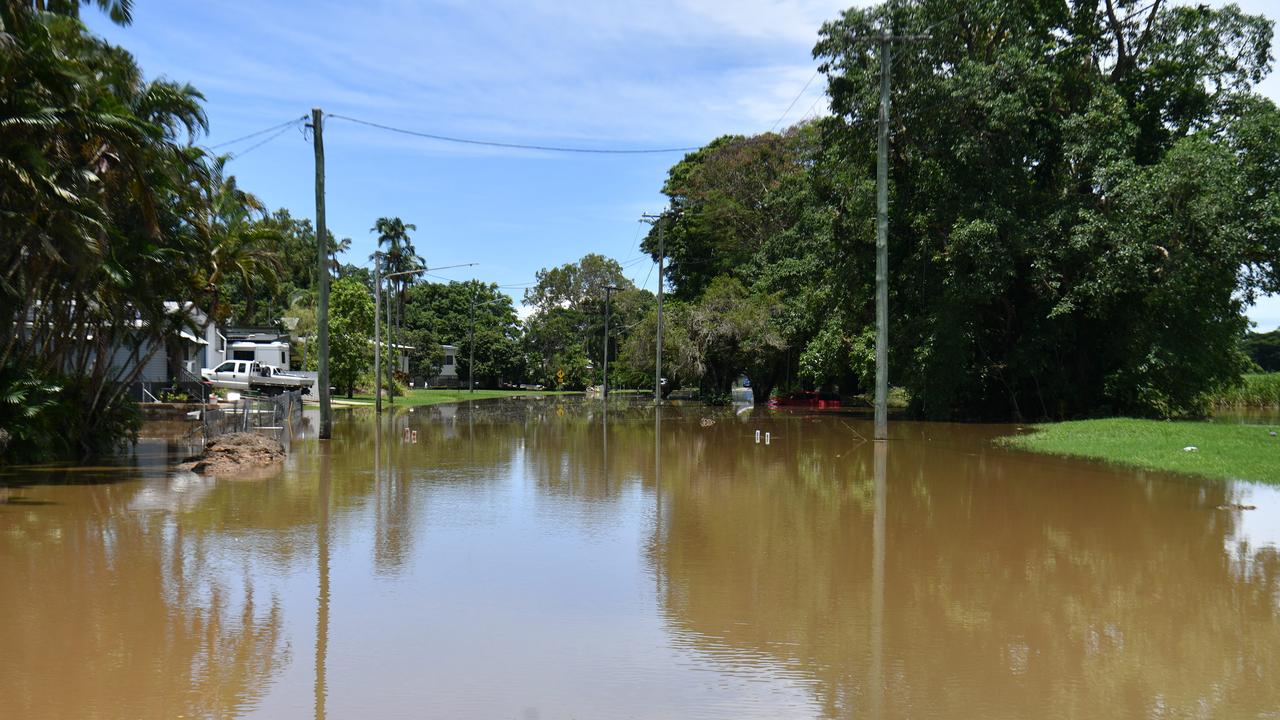
Significant rainfall totals have been recorded in Hinchinbrook.
More than 220mm has fallen in Halifax and 136mm in Ingham in the last 24 hours.
A humid north-easterly flow from the Coral Sea and a south-easterly wind surge pushing up the coast is expected to see stronger rainfalls on the coast and ranges of the Herbert and Lower Burdekin.
Heavy rainfall may lead to flash flooding between Cardwell and Rollingstone from late Tuesday morning into the early afternoon.
The severe weather is expected to hit Townsville on Tuesday evening and into Wednesday.
Six-hourly rainfall totals of 120 to 160mm are likely, with isolated totals to 210mm possible.
Conditions should ease by late Wednesday morning as the south-easterly wind surge weakens.
The warning comes as a moderate flood alert was issued for the lower Herbert River at the Hinchinbrook town of Halifax, which was cut off three times in the flood disaster in early February.
Moderate flood levels will not impact properties but there are concerns that the river could continue to rise.
“Further showers and thunderstorms are forecast for the remainder of Tuesday and for the next few days, which is likely to cause further river level rises along the Herbert River,” BOM warning on Tuesday morning.
“River levels at Halifax may reach the moderate flood level from Tuesday afternoon.”
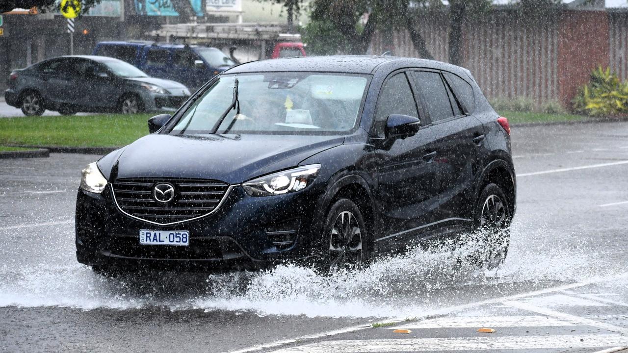
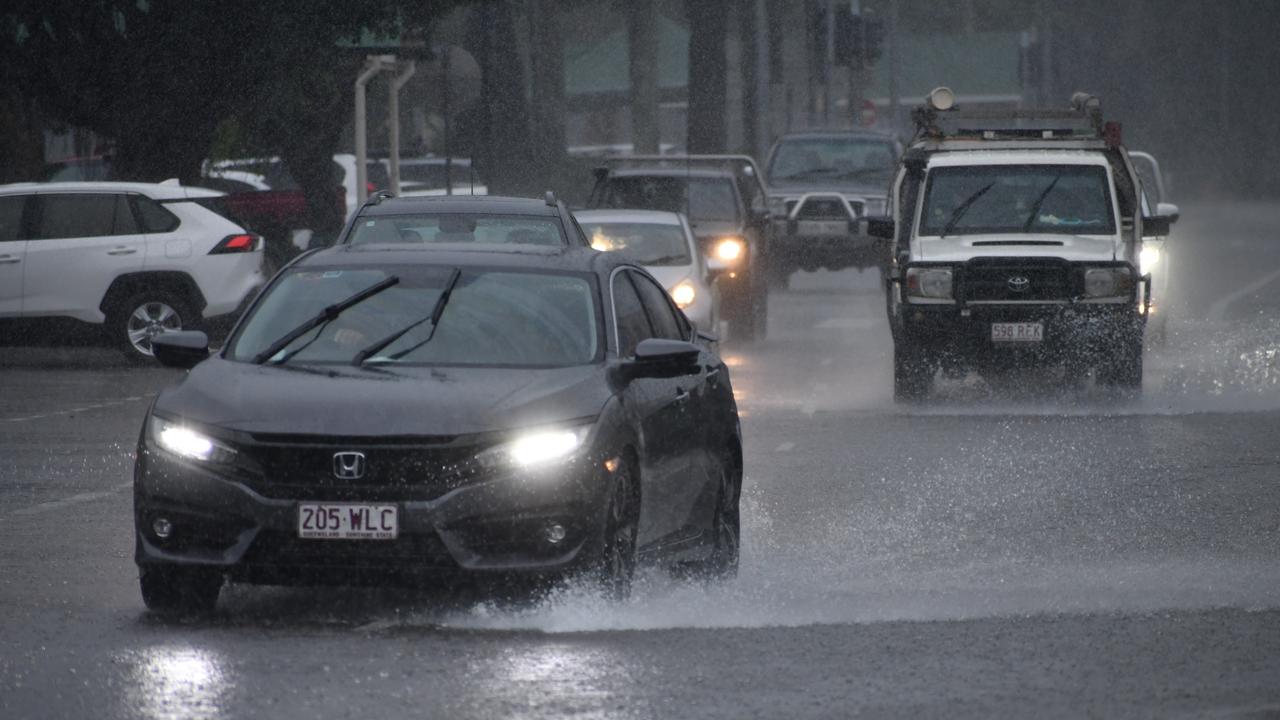
Rain and possible heavy showers are forecast for the rest of Tuesday in Townsville with the chance of a thunderstorm.
The rain will continue across the region into the rest of the week, with possible rainfall of between 10 to 250mm predicted for Wednesday in Townsville.
The Bohle River may reach the minor flood level of 4m from Tuesday morning.
Showers and thunderstorms are forecast during Tuesday and over the next several days, likely causing the river to rise further.
Minor flooding may occur at Mt Bohle from Tuesday morning, with the water levels rising to a moderate flood level possible during Tuesday, as rain is set to continue.
A moderate flood warning was issued on Monday for the Tully River, with the BOM advising moderate to heavy rainfall has seen minor flooding begin at the Tully Tiver at Euramo.
Senior meteorologist Miriam Bradbury said large amounts of rainfall was expected across the North Tropical coast, with the main focus on areas such as Innisfail and Tully on Tuesday.
“Tomorrow we may see those heavy falls in Townsville, which will become a hot spot for rain,” she said.
“Tomorrow and Thursday will be very wet and the risk of heavier falls should gradually ease by Thursday.”
Ms Bradbury said with many catchments still “quite saturated” from the flooding event last month, it may prompt some “quick river responses”, which will see the risk of flooding.
“Our flood team is constantly analysing the situation, with moderate to minor flood warnings issued,” she said.
“Flood watches range from the Daintree all the way down to Townsville and exactly what flood level, minor or moderate, will depend on where the highest rainfalls hit.”
Ms Bradbury said the majority of the rain was hitting the coast, but areas such as Charters Towers may see heavier falls across the next few days.
“Keep an eye on warnings, they will be updated as information comes,” she said.
BOM advised moderate rainfall has been seen across the Bohle River catchment since Monday evening, resulting in water levels rising.
Hinchinbrook Mayor Ramon Jayo warned against complacency on Sunday, saying the heavy rain was expected to persist for some time, as some locals continue to recover from the recent flooding disaster.
The latest information can be found on the Townsville Disaster Information Facebook page and by visiting the Townsville Disaster Dashboard.
Warning, rainfall and river information are available at www.bom.gov.au/qld/flood
The latest weather forecast is available at www.bom.gov.au/qld/forecasts.
More Coverage


Originally published as North Queensland severe weather: Heavy rains fall, flood alerts issued
Join the conversation

Wally Lewis ties knot in secret ceremony
Rugby league Immortal Wally “The King” Lewis has married his long-time partner Lynda Adams in a secret ceremony at Kangaroo Point in Brisbane today with no expense spared.
Read more

‘Total nonsense’: Mayor decries flood-disaster response
Bureaucracy is hindering the Hinchinbrook’s recovery from the devastating floods. See what battling businesses and the mayor have to say.
Read more

‘Getting f—ing nothing’: Flood-struck Italian deli’s struggle
An Ingham Italian delicatessen which was forced to dispose of $70,000 worth of produce during the Hinchinbrook flood disaster is fighting to stay afloat.
Read more

‘You can’t do anything’: Father describes moment seizure caused car crash
Jack Palmer’s life was forever changed when he was diagnosed with a brain malformation, later causing a seizure which saw him lose his license and close his business.
Read more

Pub revived after owner escapes death during flood disaster
The owner of Ingham’s most popular pub has bravely battled back from the devastating flood disaster that almost claimed his life.
Read more

‘Shooey, shooey’: Peter Dutton’s brief visit to Townsville RSL
A political leader has finally touched down in Townsville during the election campaign – but only for a brief appearance where a chant broke out for him to do a shooey. WATCH >
Read more