
Tropical cyclone Alfred officially declared off Qld coast on Sunday
A tropical low in the Coral Sea has developed into Tropical Cyclone Alfred, according to the Bureau of Meteorology, but where it’s heading remains up in the air.
Cairns
Don't miss out on the headlines from Cairns. Followed categories will be added to My News.
A tropical low in the Coral Sea has developed into Tropical Cyclone Alfred, according to the Bureau of Meteorology, but where it’s heading remains up in the air.
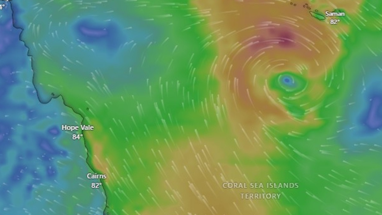
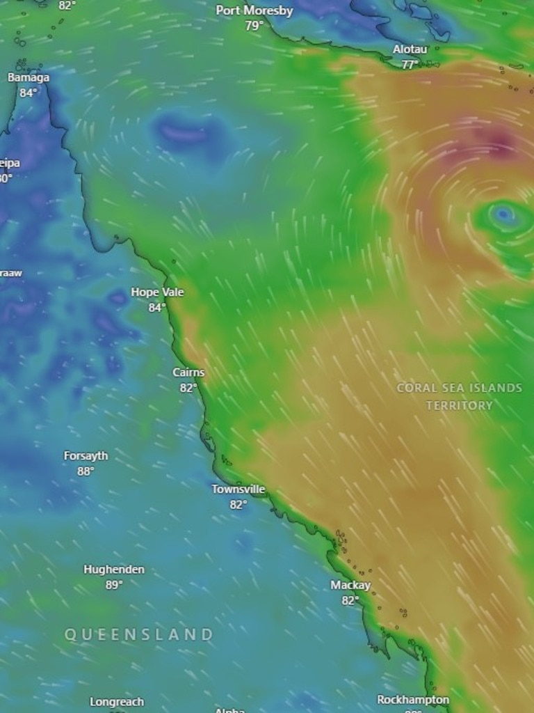
The Bureau at 4.45pm on Sunday confirmed TC Alfred had formed over the Coral Sea, with a central pressure of 999 hPa.
Bureau meteorologist Christie Johnson said the system’s path was unclear.
The system is currently located about 400km northeast of Cairns, well off the Queensland coast, and is not expected to directly affect the Far North at this time.
“The latest satellite wind scan showed it hasn’t quite reached tropical cyclone strength, but … looking at the forecast, there’s a high chance for it to develop into a tropical cyclone later today,” Ms Johnson said.
The system is currently located about 400 km northeast of Cairns, well off the Queensland coast, and is not expected to directly affect the Far North state at this time.
“It’s still expected to head out eastwards for the next day or so away from the (Queensland) coast and start curving next week a bit more south easterly and then southerly,” she said.
“After that there’s a range of scenarios as to where it could go, including curving back toward the coast or moving away to the southeast.”
Ms Johnson said it was too early to tell which path the system would take, but encouraged residents across the Far North to stay alert and keep up to date with weather warnings.
“We’re … encouraging people along the east coast to stay across forecasts and warnings especially towards mid-next week once it forms into a tropical cyclone and starts moving southward,” she said.
A strong wind warning has already been issued along the most of the east coast.
“In the short term, we’re seeing strong south-easterly winds and some increased waves along the east coast so we have strong wind warnings out for most of the east coast,” she said.
“We could potentially see some particularly high tides as we move into mid part of next week which could cause minor flooding to low-lying coastal areas if (22U) does move back toward the coast later, with potential for increased winds and rainfall.”
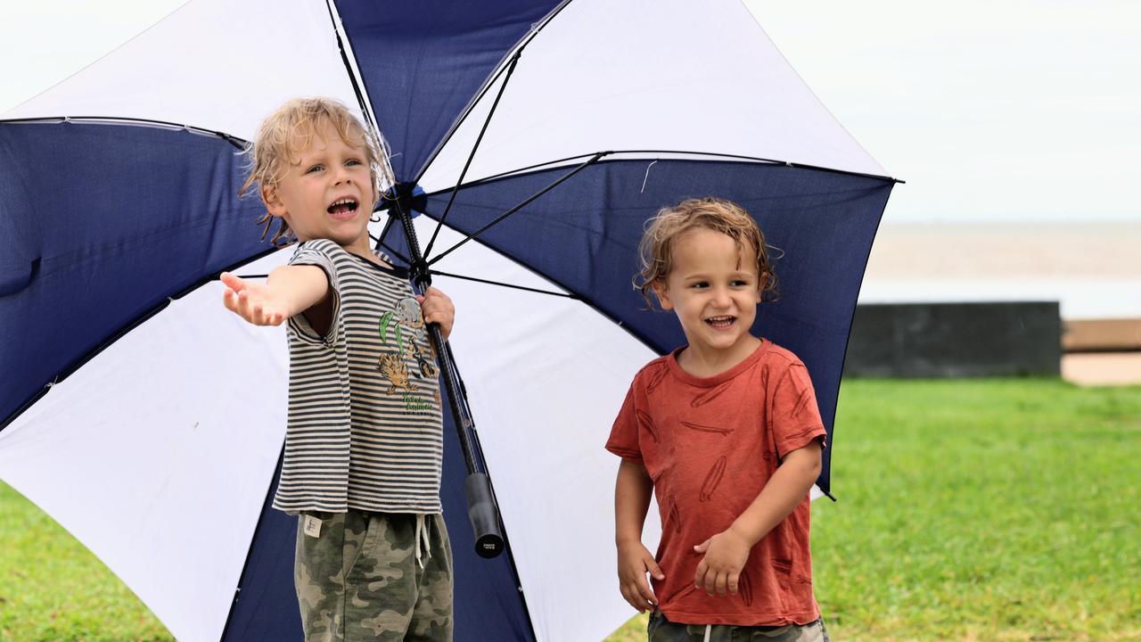
In the meantime, Ms Johnson said the tropical low would push showers onto the north tropical coast each day for at least the next week, with the potential for thunderstorms south of Cairns on Monday, however, significant rainfall was not expected.
“The reminder to everyone is to stay alert,” she said.
“(22U) will most likely form into a tropical cyclone by tonight … but at this stage, we’re not looking at a repeat of the flooding in recent weeks.”

Originally published as Tropical cyclone Alfred officially declared off Qld coast on Sunday

Media locked out of court as teen trio accused of rape appear
Reporters were locked out of the Innisfail Court House this morning as three teens appeared charged with rape following a sickening home invasion at Manunda.

Watch the arrest: Depraved teen trio in vile knifepoint rape
Police have released dramatic footage of the arrest of a teenager wanted after a woman was allegedly raped at knifepoint in a sickening home invasion in Cairns.
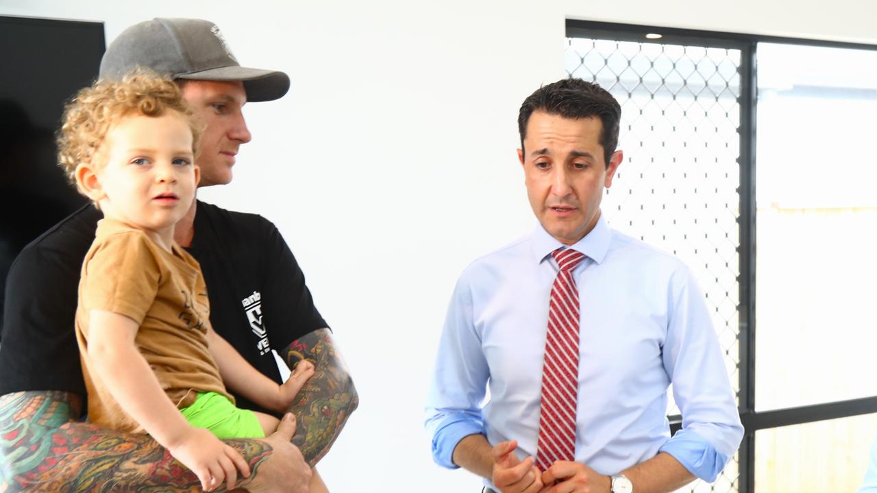
Cairns home ownership challenges at centre of new tax reform
Cairns homebuyers Keely and Aidan Maxwell struggling to get a foothold on the property ladder say the axing of stamp duty would make their first home purchase easier on the hip pocket.
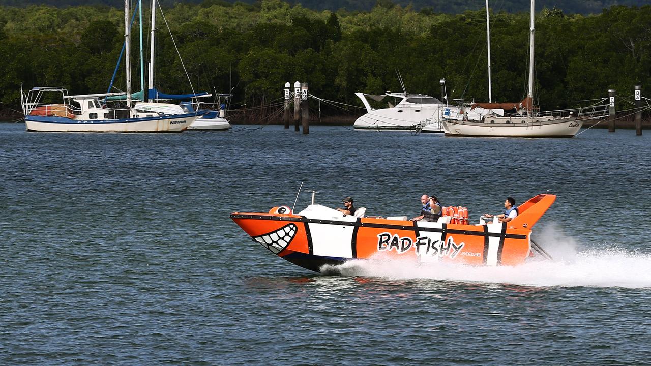
‘Gross misjudgment’: Skipper fined over jet boat collision
An experienced mariner with an “exemplary reputation” has expressed his “heartfelt regret” over an accident where a family of three thought they were going to die following his actions.

‘Forced to drink toilet water’: 12yo allegedly indecently assaulted in Cairns Watch house
A Qld youth support group has called for an end to child watch house lockups longer than 72 hours after it was revealed a 12-year-old had been allegedly indecently assaulted in the Cairns watch house this week.
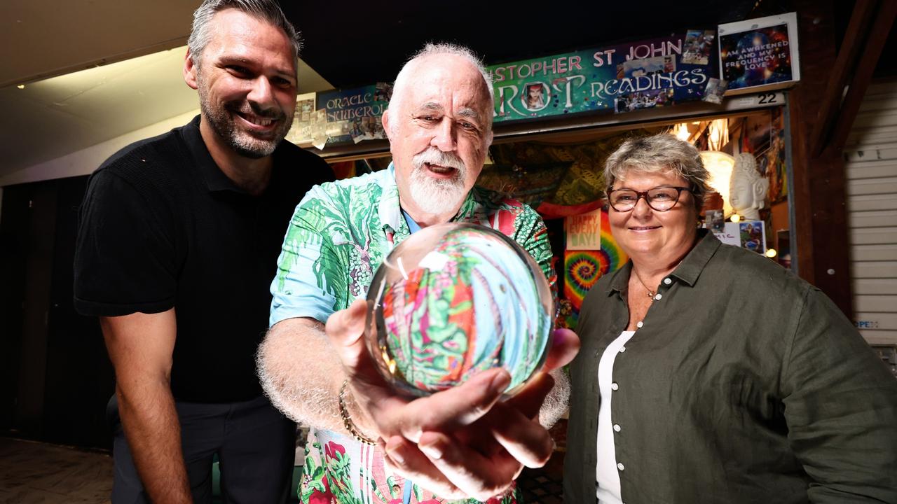
Far North political aspirants look into cyrstal ball for election fortune
The supernatural powers of a Cairns clairvoyant is offering an insight into the Prime Minister‘s mind as Far North political candidates ponder when the federal election will be called.