
A emergency warning issued for residents in Georgetown as more heavy rains are on the way
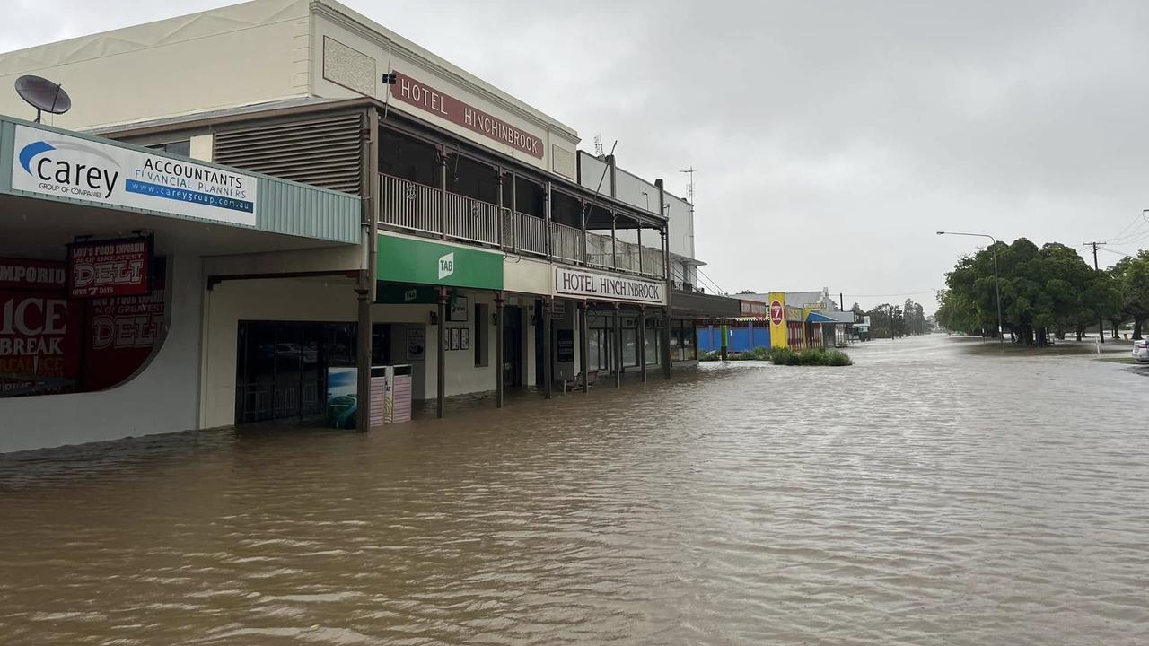
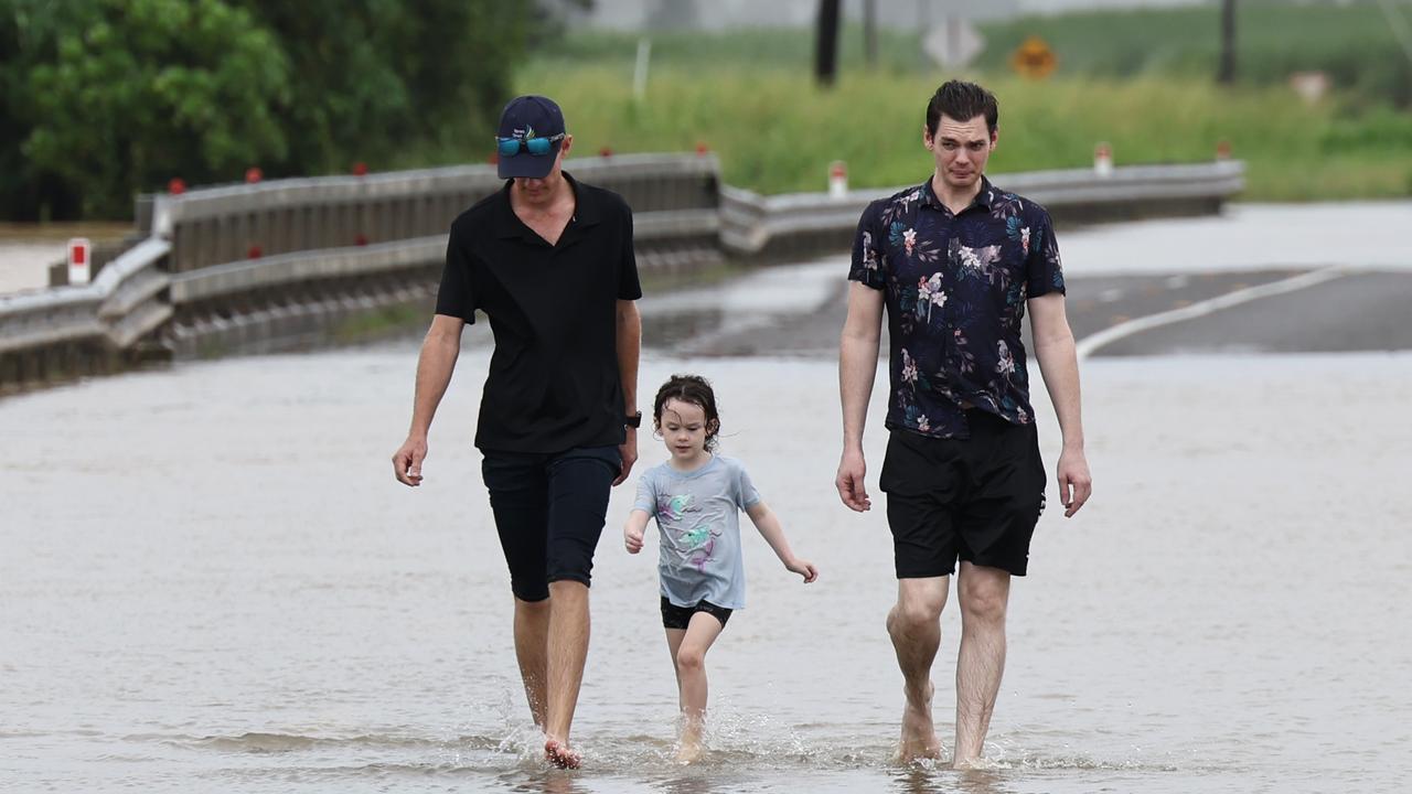
Georgetown residents were urged to move to higher ground as dangerous flooding continues, with experts warning more heavy rainfall and the risk of renewed flooding across northern Queensland in the coming days.

Cairns
Don't miss out on the headlines from Cairns. Followed categories will be added to My News.
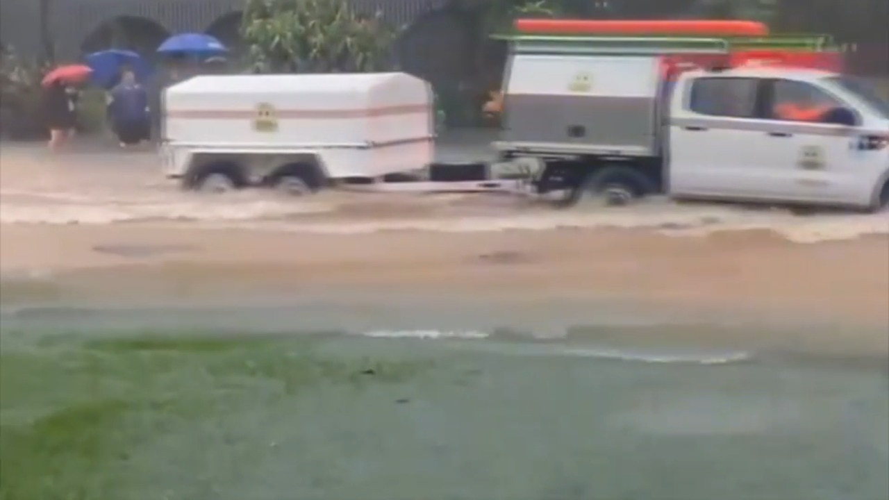
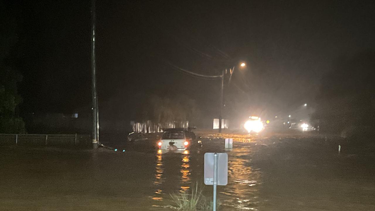
Residents in Georgetown were told to get to higher ground in the early hours of Wednesday morning as emergency services issued an alert.
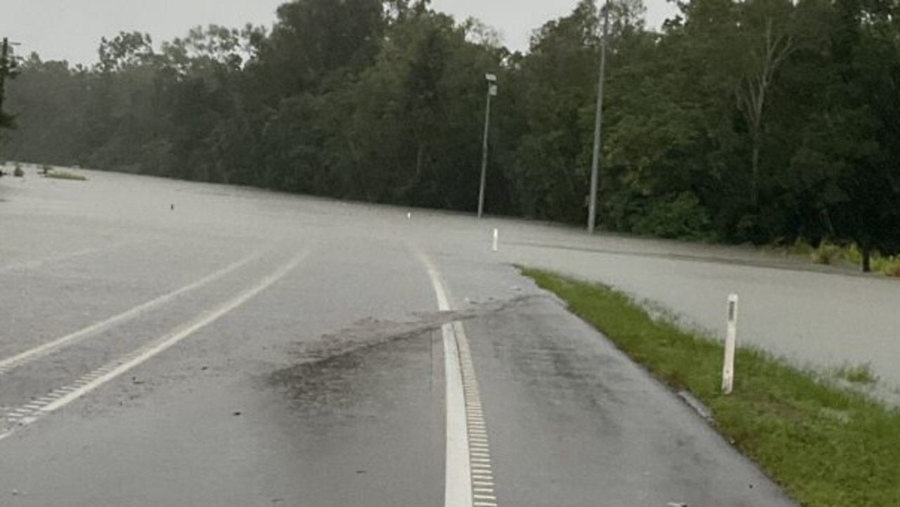
Just after 3am on February 5, the warning was issued of dangerous flooding in low-lying regions, particularly near the Etheridge and Delaney Rivers.
People were urged to move to higher ground immediately due to rapidly rising water and dangerous flooding and to stay away from creeks and rivers.
Showers and thunderstorms, with potential for heavy falls and flash flooding are said to continue for the Cairns catchment according to the Bureau.
Community Information Officer, Daniel Hayes said while riverine flooding is not yet severe smaller coastal rivers and creeks may respond quickly to more heavy rain, which is on the way.
“Showers are likely to continue through the weekend, with the potential for thunderstorms over the next few days,” he said.
“Bringing with it more heavy rainfall, especially if they intensify, there’s a risk of flash flooding in certain areas, particularly around the catchments.”
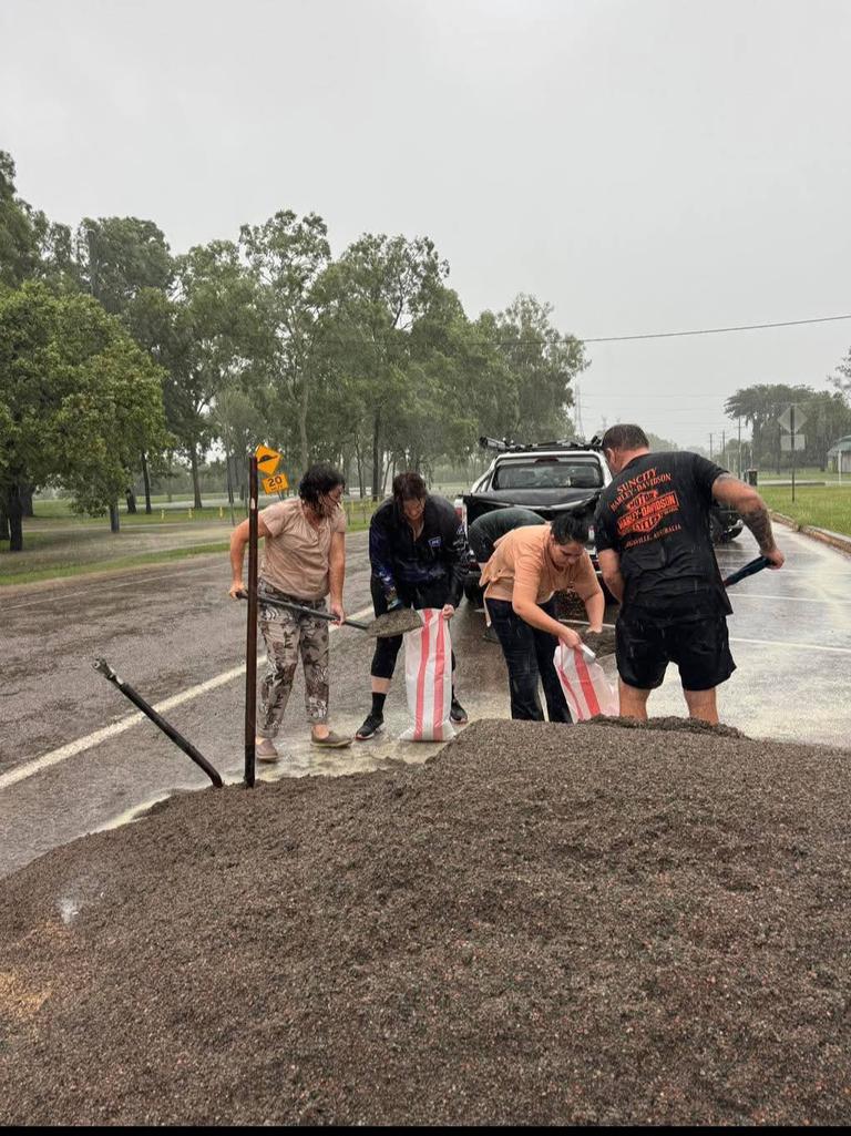
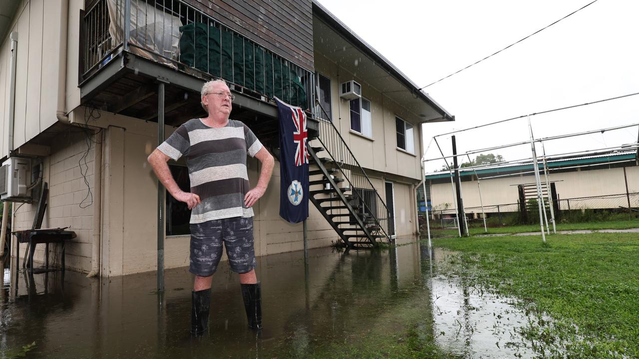
While riverine flooding isn’t currently a major concern, the region is already quite saturated, Mr Hayes said, meaning smaller coastal rivers and creeks could respond quickly to heavy falls.
“Minor flood warnings are in place for the Mulgrave and Russell rivers with the monsoon trough expected to keep North Queensland wet for the next week,” he said.
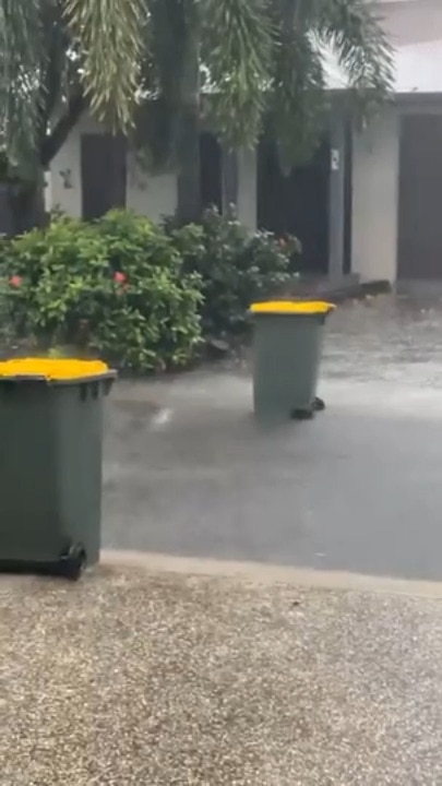
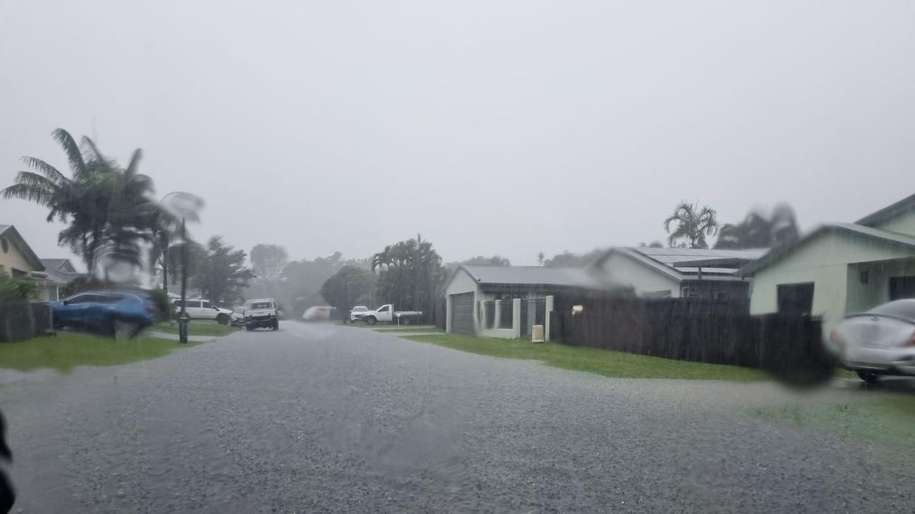
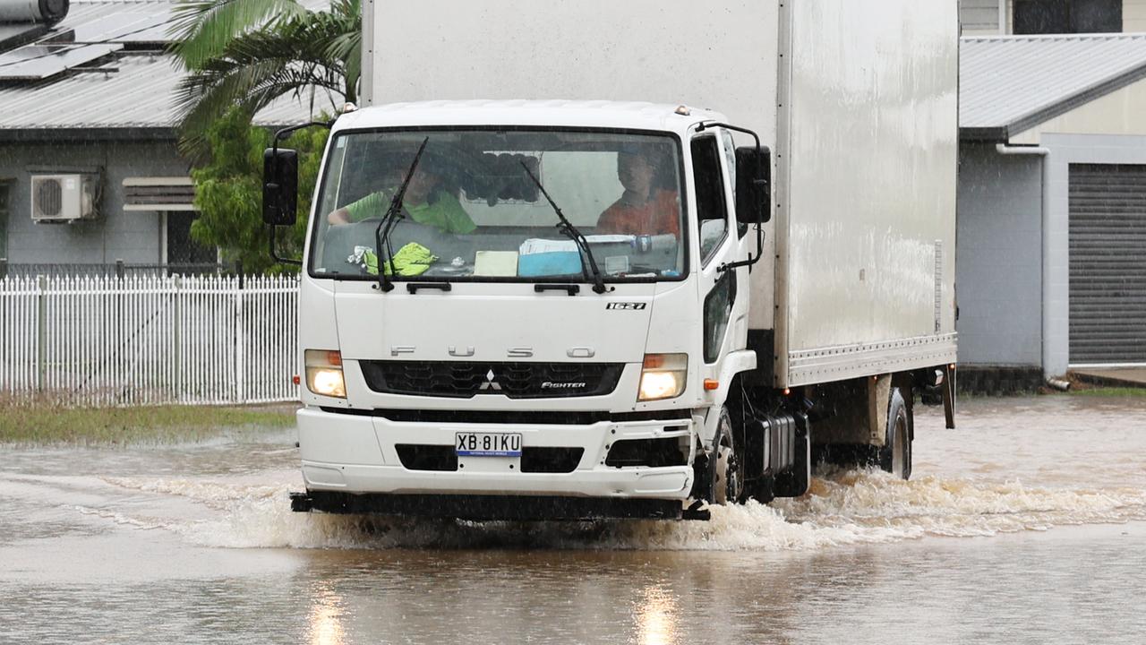
Residents saw some flash flooding yesterday and similar incidents could occur in the coming days, according to the community officer.
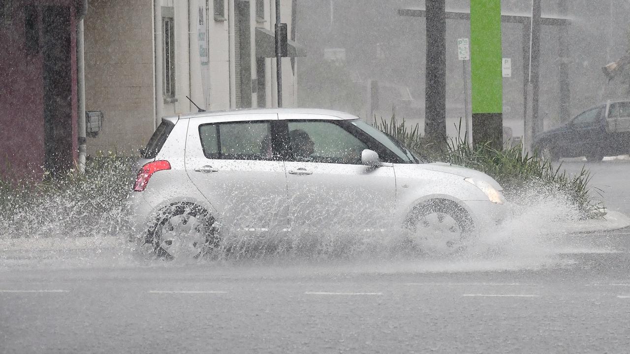
“The rain will mainly be showers, with short bursts of heavier thunderstorms potentially dropping up to 100mm or more in some spots,” Mr Hayes said.
However, while this heavy rain isn’t expected to last long, the chances of these short intense bursts of rainfall will persist for several days.“Inland areas are also experiencing rainfall, with flooding reported near Georgetown,” he said.
This comes as experts warned on Wednesday morning, February 5, the monsoon trough is expected to bring additional, wide spread, localised heavy rainfall.
On Tuesday and throughout the night, northern Queensland was hit by continuous and heavy rainfall, showers and thunderstorms.
Bureau of Meteorology, Senior Meteorologist, Miriam Bradbury, said the storms added to the already significant rainfall from the past week.
“Many of these areas have already seen huge amounts of rainfall over the past week, and these heavier falls simply added to those totals,” she said.
Heavy rain was recorded along the north tropical coast, reaching areas like Richmond, and severe storms developed cross parts of the Cassowary Coast yesterday afternoon, particularly south of Gordon Vale.
“Areas like South Mission Beach received 155mm in three hours,” she said.
The Bureau recorded from 9am Tuesday to 5am Wednesday, rainfall between Cairns and Ingham ranged from 100mm to 200mm.
South Mission Beach received a total of 287mm, and Clyde Road near Babinda got 223mm.
The Senior Meteorologist said major flooding continues across the Herbert River catchment, though water levels are now stabilising or beginning to gradually recede.
“Parts of the catchment flood levels are now holding steady or have begun to gradually fall,” she said,
“Although they’re still well above the major flood level.”
Moderate flood warnings are still in effect for several areas including, the Tully and Murray Rivers as well as the Ross River and Haughton River.
Minor flood warnings are also in place for additional catchments along the coast.
“With the monsoon trough bringing rain and storms to northern Queensland, rainfall is expected to intensify inland,” Ms Bradbury said.
“A flood watch has been extended to include parts of The Gulf and Thomson River catchments further inland and to the northwest.”
With the monsoon trough remaining stationary over northern Queensland, drawing in tropical moisture from the Coral Sea and The Gulf of Carpentaria experts have said this is expected to bring widespread showers.
“More showers and storms today and in the coming days, with the possibility some of these storms could turn severe at times,” Ms Bradbury said.
A key area to watch is the northeast coast, where there’s a greater potential for more localised heavy falls.
“If we see severe storms developing, as we did on Tuesday, they bring the risk of acute localised heavy falls,” she said.
“Severe thunderstorm warnings will be issued if this occurs.”
Ms Bradbury said any further rainfall, particularly along the north tropical coast, may lead to prolonged or renewed flooding, even though we’re seeing rivers gradually fall.
More Coverage


Originally published as A emergency warning issued for residents in Georgetown as more heavy rains are on the way
Join the conversation

Plans for drastic overhaul of Qld sexual assault laws
‘Good character’ evidence should be limited and a new aggravating factor for rape and sexual assault offences against children introduced, a new report has recommended. SEE THE RECOMMENDATIONS
Read more
Updated: Emergency flood alert issued for residents in Georgetown
An Emergency Alert was issued for residents in Georgetown while communities from Palm Cove to Babinda, are being told to stay alert. ROLLING UPDATES.
Read more

‘Labor has lost the right to criticise the LNP for the next 10 years’
Steven Miles’ attack on Premier David Crisafulli over his handling of the ongoing wild weather impacting North Queensland has divided opinion. HAVE YOUR SAY
Read more

Attempted murder bail granted over for alleged Dimbulah arson attack
A man accused of attempted murder, stalking and arson over an alleged attack on his former partner in Dimbulah in August 2023 has been granted Supreme Court bail under strict conditions.
Read more

Teen was on probation for killing cat before bashing murder
The teenager who murdered an Innisfail man less than 150 metres from his home was on probation for violently bashing a former partner and strangling her cat to death at the time of the attack.
Read more
Donated food sustains isolated town after 1.1m of rain in four days
Hundreds of residents are relying on donated rations at Cardwell, with the replenishment of grocery supplies at the town’s only supermarket among a number of urgent priorities following significant flooding.
Read more