
Saving spacecraft ... from the backyard
Anyone with a telescope — including kids in the backyard — will be able to track satellites to help governments avoid catastrophic satellite crashes.

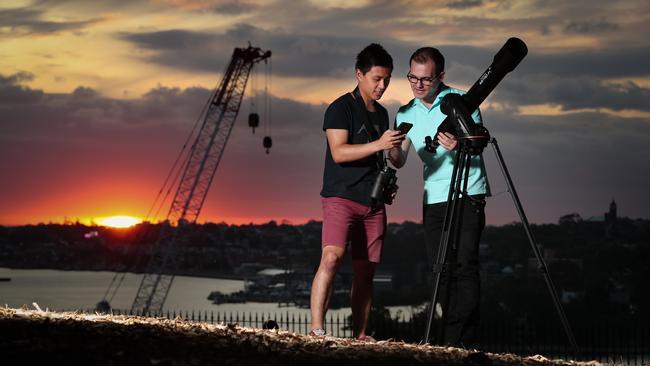
Anyone with a telescope — including kids in the backyard — will be able to track satellites, asteroids and debris to help governments and industry avoid catastrophic satellite crashes, under a mission by an Australian space company.
Saber Astronautics is set to launch an app by the end of the year that will let keen stargazers scan the sky with their hobby telescope, log the location of satellites and debris and then have that data shared with governments and the community.
With 1300 satellites in orbit today and that number expected to grow to 10,000 in a decade, Saber Astronautics CEO Jason Held said the crowdsourcing of critical information would help form a “greater picture of the sky”.
Satellite collisions, which can occur at 16km per second, pose a risk to assets and life, but the federal government says Australia’s geographical position makes it an ideal location for monitoring and managing space activity.
“If two satellites crash then it’s catastrophic in a global sense because the debris spreads around the globe,” Dr Held said. “The collision is much faster than a bullet and it creates a lot of debris. Even a fleck of paint is a serious risk to a space shuttle. If a Turkish small- business satellite accidentally collides with a Brazilian high school satellite then the debris field can potentially risk harming US and Australian missions.
“If it (the debris) hits a commercial satellite you’re talking of billions of dollars of lost revenue and if it hits the international space station you’re talking about loss of human life.”
Dr Held said the North American Aerospace Defence Command (NORAD) had historically been the main source of data for satellite locations but it was not designed to track the volumes of satellites that are about to launch.
Saber Astronautics director Andreas Antoniades said a satellite collision in orbit could take out vital infrastructure that assists Australians every day.
“Space assets we need to protect help us with navigation, such as GPS, telecommunications such as internet and mobile, satellite phones and, quite importantly most recently, Earth observation satellites that help us see where fires are,” he said. “They help us to be able to manage water resources better and of course to be able to predict the weather, which is changing now more than ever.”
Saber Astronautics, which is a client of former defence minister Christopher Pyne’s lobbying firm, GC Advisory, has won five contracts with Defence since late 2017 worth $4.3m. Australian universities and businesses are expected to sign on first to the company’s satellite-tracking app but it will also be open to schools and hobbyists to get involved. Defence, the private sector and researchers have developed capabilities to monitor debris, which is considered a national civil space priority under the government’s civil space strategy running until 2028.


To join the conversation, please log in. Don't have an account? Register
Join the conversation, you are commenting as Logout