King tide, strong winds, heavy rain and beach erosion on the cards for Qld this weekend
Queenslanders warned to stay indoors, with a combination of extreme weather events set to lash the east coast.

A “monstrous” weather event heading for the Sunshine State could lead to the “highest sea level ever” on the southern Queensland coastline.
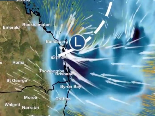
A combination of strong winds, a low pressure system and the biggest tide of the year will result in an intense, “reasonably unusual” weather weekend.
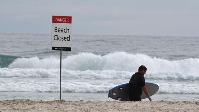
Beaches along southeast Queensland and northern NSW will bear the brunt of very large swells and gale-force winds, culminating in significant beach erosion, with the highest tide of the year expected to hit next Tuesday in line with the new moon.

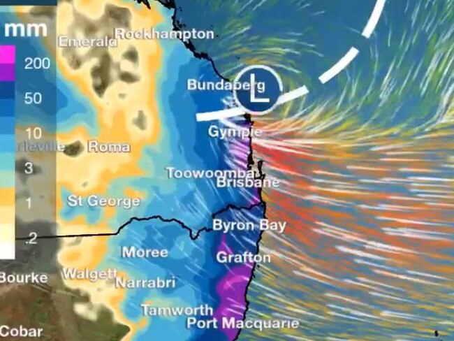
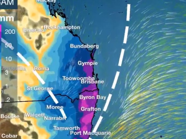
Rainfall of up to 200mm is forecast for the southeast Queensland corner over the weekend, with Sunday expected to be the height of the weather event.
Bureau of Meteorology forecaster Livio Regano said while sea levels were getting higher all the time, modelling suggested a new level could be reached this weekend.
“You don’t notice the difference until you see the extreme,” he told NCA NewsWire.
“When you get extremes, it can top that highest possible point … It’s more likely to break records on a higher baseline.”

The Sunshine and Gold coasts will be the hardest hit over the weekend, with southeasterly winds of more than 70km/h expected on southern waterways.
“That will produce five-metre seas with a four-metre swell,” Mr Regano said.
“If you couple that with the highest king tide of the year, you’re asking for trouble.”

Elsewhere in the state some rainfall is expected; however, it won’t be as “monstrous” as the totals expected on the coast.
And, it’s good news for those who’ve sweltered through last week’s heatwave.
“It will be humid, but it won’t be as hot,” Mr Regano said.
“That part will be nice, we’ve got air coming from the south and a wind chill on top as well as a lot of cloud and rain.
“It will be wet and windy.”


To join the conversation, please log in. Don't have an account? Register
Join the conversation, you are commenting as Logout