Byron Bay’s Main Beach washed away in wild La Nina event
Aussie beaches are being hammered in today’s storms, and the mayor of a famous beach town has warned the worst is yet to come.
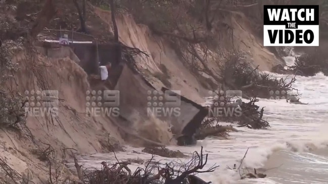
Byron Bay’s Mayor has warned the worst is yet to come for the town’s decimated beach — saying there’s a big king tide coming tomorrow and some “really gnarly weather” on the way.
The town’s main beach has suffered major erosion this year, and a 1000km storm stretching across Australia’s east coast today is threatening to finish the job.
Byron Shire Mayor Simon Richardson said the large swells, crazy water, king tides and raised water levels were smashing what was left of the famous beach.
Byron Bay main beach today ... and the rain just keeps falling. Not a good sign ahead of tomorrow’s king high tide of 1.91m https://t.co/VD4KU5w0Pa pic.twitter.com/njYHbwsrJR
— Scott Henry (@scoopnewsworthy) December 14, 2020
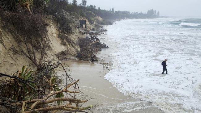
“At this stage, it’s really out of hand. We’re under the pump and hopefully it will ease over the next couple of days,” he told Sky News.
He warned locals and tourists to stay away from the coast after one man was almost dragged into a ferocious tide as he tried to take a picture of the carnage.
The man can be seen taking a picture on precariously placed platform, which suddenly gives way underneath him as the waves crashed in on the beach this morning.
Fortunately he is not injured and manages to pull himself back up.
Anything to get the shot, right? pic.twitter.com/VbaUxdHiED
— Ben Grubb 🛠(@bengrubb) December 13, 2020
The beach’s sand has been completely covered with water due to continuing storms and hundreds of trees have been washed away.
Over the weekend, waves crashed up against rocks, adjacent to a levelled footpath and road, and there’s more wild weather on the way.
The situation at the tourist town was already dire. In October, high tides swept the coast, wiping out sand dunes and leaving a trail of destruction in their path.
From Clarke’s looking toward Main Beach where the most damage has been done pic.twitter.com/zZzs4Yuq4x
— Annie O'Rourke (@Founder89oE) December 13, 2020
The beach has been swallowed and the tide is still coming in at #ByronBay. Waves beginning to hit our car... @7NewsSydney pic.twitter.com/uWHslnToRa
— Sarina Andaloro (@sarina_andaloro) December 13, 2020
Locals told new.com.au the beach was vanishing at an alarming rate, and that this week’s storm could be the final nail in the coffin.
Harry McGhie has been living in the area for 20 years and said it’s never been this bad — even after a double cyclone in 2009.
“There’s pretty much nothing there any more,” he told news.com.au. “You can’t really even say it’s a beach anymore. It’s very sad.
“It’s also pretty dangerous with heaps of broken trees and poles floating around in the water.”
Byron Shire Deputy Mayor Sarah Ndiaye said the issue of coastal erosion needs urgent attention.
“I don’t think anyone has seen erosion to this scale from Clarke’s along to Main Beach in living memory and it’s happened faster than anyone predicted,” she said.
Authorities have warned of more eroding beaches today as a major storm, bringing 5m waves, flash flooding and dangerous winds lashes large parts of northern NSW and south east Queensland.
There are also multiple flood warnings for rivers in the area, including the Tweed, Brunswick and Wilsons Rivers, with warnings the rain will continue.
Main Beach in Byron Bay... gone! @9NewsSyd #NSWfloods pic.twitter.com/BWC6beCejy
— Hannah Sinclair (@hansinclair9) December 13, 2020
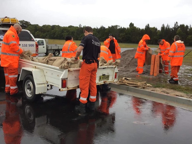
NSW SES volunteers from the Yamba and Maclean Unit prepared sandbags in advance and have responded to requests for assistance, including tarping roofs, clearing trees off roads and laying sandbags, while still rescuing drivers stuck in floodwaters.
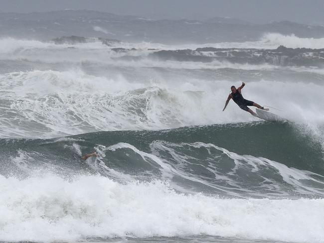
Surfers in Coffs Harbour and Kirra were photographed making the most of the large swells, despite warnings to Gold Coast residents to stay out of the water as footage from the Gold Coast Seaway shows “dangerous surf conditions”, according to Surf Life Saving Queensland.
The @Westpac Lifesaver Rescue Helicopter captured this footage of the dangerous surf conditions while flying over the Gold Coast Seaway today.
— Surf Life Saving Queensland (SLSQ) (@lifesavingqld) December 13, 2020
âš ï¸ Please stay out of the water. pic.twitter.com/UaYUPcjlSi
Dangerous weather and “relentless” rain is expected to continue up until at least Tuesday as residents are being warned to brace for damaging winds, flash flooding, heavy rainfall, “abnormally” high tides and disappearing beaches.
This morning a severe weather warning has been issued for a 500km stretch of the Queensland coast from Coolangatta to Hervey Bay and a number of areas in NSW’s Northern Rivers mid-north coast regions, including the Tweed Coast and Byron Bay and experts say the rain bomb isn’t going any where any time soon.
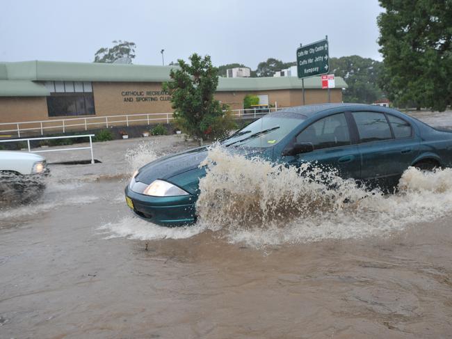
“Rainfall rates could be locally enhanced in the far north with thunderstorms, leading to the possibility of very heavy rainfall and dangerous flash flooding,” the NSW BOM warning reads.
“At this stage, the widespread heavy rainfall is expected to ease late Tuesday or early Wednesday, though thunderstorms may still produce localised heavy falls that may lead to flash flooding during Wednesday.”
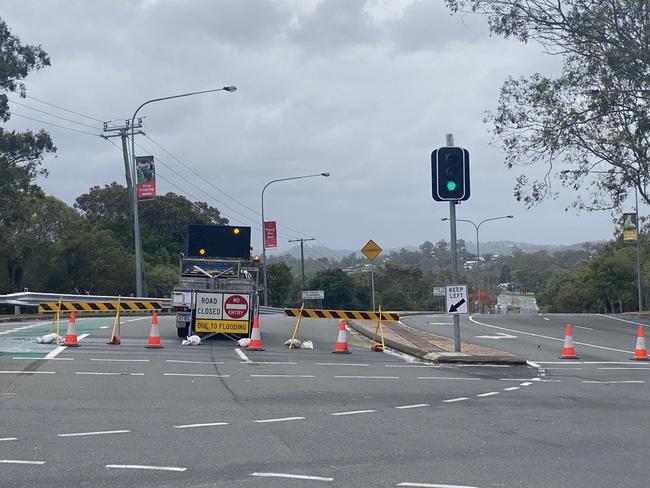
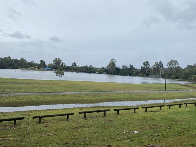
It also warns of 90km/h winds along the coastal fringe north from about Yamba, possibly extending south to about Crescent Head on the Mid North Coast during the day.
There will also be waves exceeding 5m extending south to Port Macquarie during the day, possibly leading to significant beach erosion.
Abnormally high tides are expected along the coast north from about Ballina during this morning’s high tide, which may lead to localised coastal inundation.
South East Queensland is also being hit by the cyclone-like conditions, which worsened overnight with damaging winds and heavy rains battering the region.
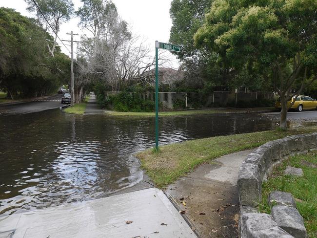
Monday will be the “critical time” for NSW as the trough moves further south and saturated rivers rise even further.
By Tuesday, three day totals of 300-600 ml are predicted to fall across the region.
âš ï¸ VERY HEAVY RAINFALL has been observed in the Tweed and Brunswick river valleys, with rapid creek rises occurring. Highest rainfall totals since 9am Saturday are 393mm at Couchy Creek, 370mm at Numinbah. Refer to Severe Weather Warning and Flood Warnings https://t.co/ULRO2bmm7X pic.twitter.com/Fq5r5EHZYy
— Bureau of Meteorology, New South Wales (@BOM_NSW) December 12, 2020
Motorists have been warned to stay off the roads if possible with emergency services warning of flash flooding.
Locations which may be affected include Gold Coast, Brisbane, Moreton Island, North Stradbroke Island, Sunshine Coast and adjacent hinterland areas, Fraser Island, Caboolture, Cleveland, Redcliffe, Jimboomba, Beaudesert and Springbrook.
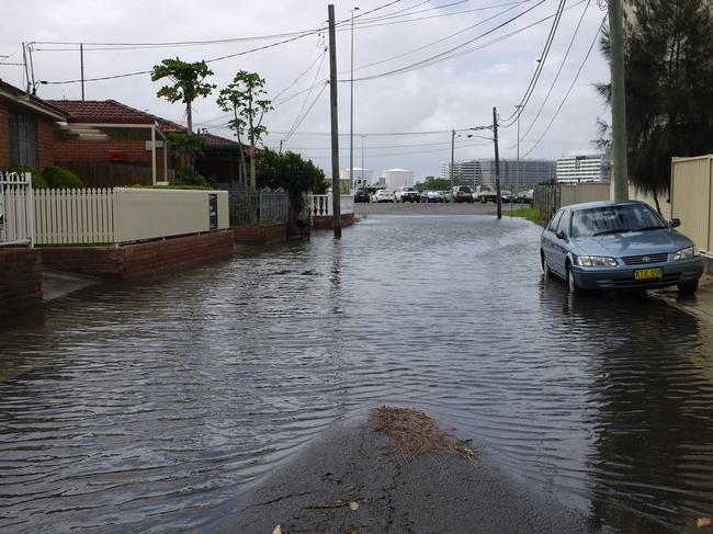
Monday will be the “critical time” for the affected areas as the trough moves further south and saturated rivers rise even further and the SES prepares for the worst in the first major La Nina event of the summer.
By Tuesday, three day totals of 300-600 ml are predicted to fall across the region.
âš ï¸ VERY HEAVY RAINFALL has been observed in the Tweed and Brunswick river valleys, with rapid creek rises occurring. Highest rainfall totals since 9am Saturday are 393mm at Couchy Creek, 370mm at Numinbah. Refer to Severe Weather Warning and Flood Warnings https://t.co/ULRO2bmm7X pic.twitter.com/Fq5r5EHZYy
— Bureau of Meteorology, New South Wales (@BOM_NSW) December 12, 2020
Authorities are urging caution and to prepare for local flooding as a trough deepens and moves away from southeast Queensland in the coming days.
“The community should prepare for minor to major flooding so please check for warnings and updates over the coming days,” BOM meteorologist Jonathan How said.
“This is the most significant rainfall event since February and floods will pose a risk to many people.”


