Bushfires: NSW gets a downpour, with more forecast over the weekend
The nation is rejoicing as some of the best rain in months helps quash persistent bushfires. And there’s more to come.

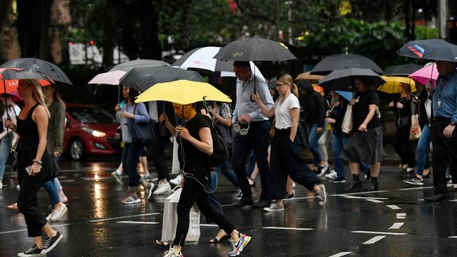
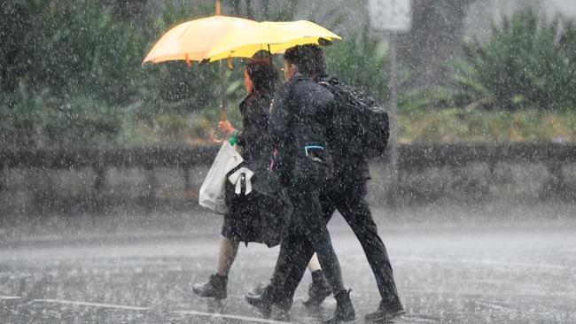
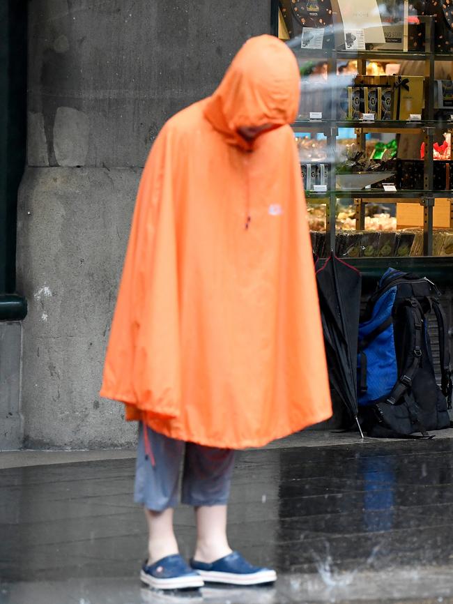
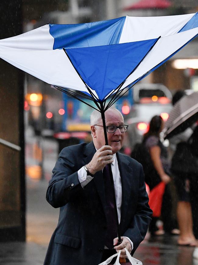
NSW is set to receive some of its best rain in months as the downpour across the state helps to further quash persistent bushfires. Solid rain has soaked large parts of the central north coast and Sydney, with more expected throughout Friday and into the weekend.
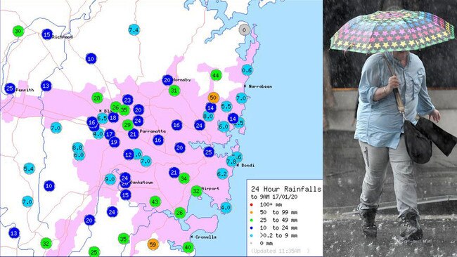
The Sydney area saw the heaviest falls, with 59mm recorded in the Audley, Royal National Park over the past 24 hours. The western suburbs saw 32mm at Campbelltown and Sydney Airport while the Blue Mountains had 37mm fall in Katoomba.
The highest rainfall for NSW was inland from Port Macquarie in Boonanghi which had 126 mm.
Bureau of Meteorology Forecaster Jonathan How said that this time of year is when coastal parts of NSW usually receive most of their annual rainfall although it is still extremely dry.
“Considering how dry it has been over the last few months, it does seem like a lot relative to that,” Mr How said.
“Around this time is when we see places in the east coast receive more moisture and rainfall. It’s what we should be seeing at this time of the year,” he said.
Top rain to 9am in NSW Boonanghi 126mm and Bulahdelah 112mm (best since March 2017). Honourable mention Bundarra PO 105mm (best since Nov 2011). Find out where the rain fell here: https://t.co/R2cMl9WF6J pic.twitter.com/gAm0tnz9K9
— Bureau of Meteorology, New South Wales (@BOM_NSW) January 16, 2020
At Port Macquarie rain fell in excess of 50mm, stretching up into the northern tablelands.
While northern NSW had good downpours, parts of the southcoast had hardly any rain but this is set to change over the weekend.
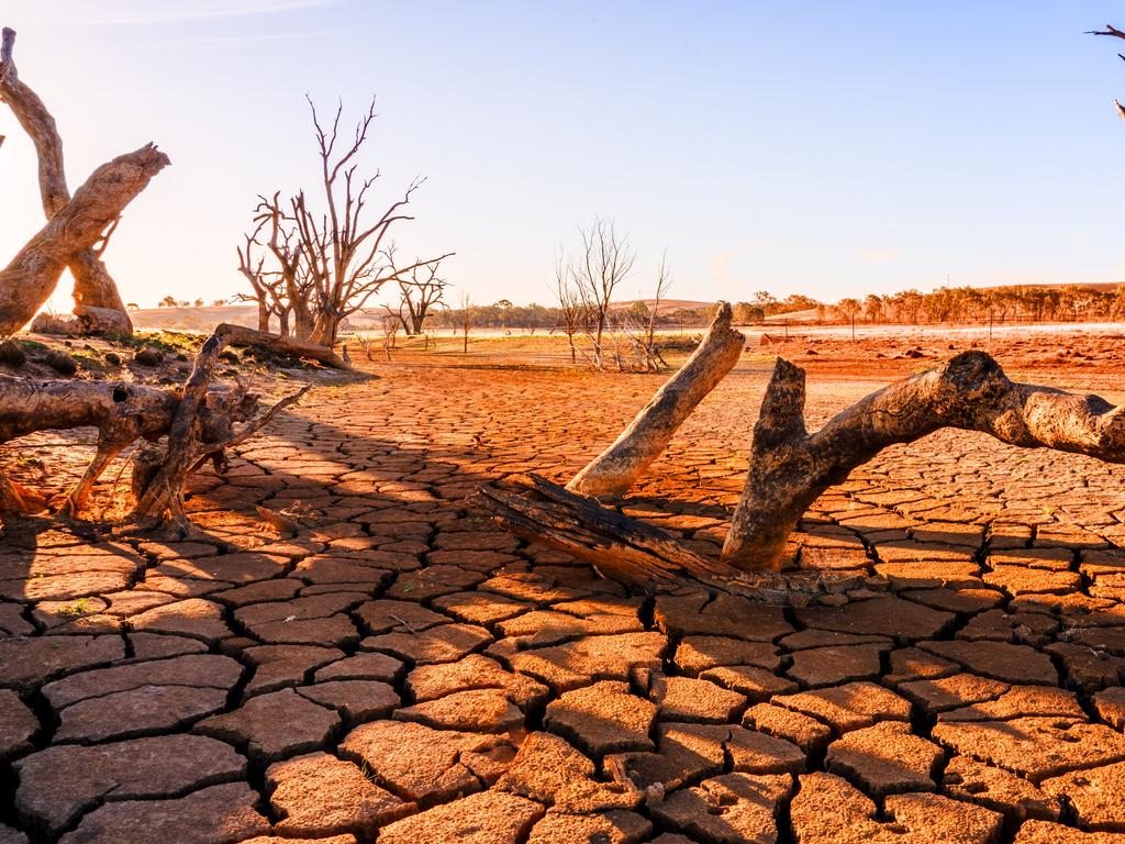
“A lot of places in NSW and Queensland finished 2019 as the driest places on record. There is a long way to go and every little bit helps,” Mr How said.
Sydney is expected on Friday to receive 10-25mm while up to 50mm are forecast for parts of the state along with thunderstorms.
The Northern Tablelands, Northern Slopes, Northern Rivers, Mid North Coast and Hunter are all expected to receive significant downpours.
Falls of up to 50mm would be the state’s most significant rainfall since September last year, with rain expected to continue falling into the weekend.
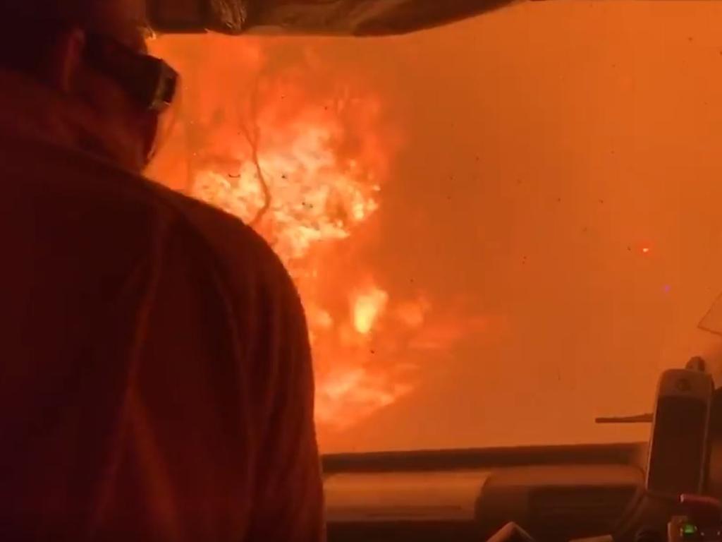
The NSW Rural Fire Service welcomed the rain on large foregrounds but warned it wasn’t the end of the crisis.
Rain has fallen across most firegrounds over the last 24 hours which is great news! Our fingers are crossed that this continues over the coming days.
— NSW RFS (@NSWRFS) January 16, 2020
This morning 82 fires are still burning across New South Wales, with over 30 still yet to be contained.#NSWRFS #NSWFires pic.twitter.com/Zn6Id3TX85
“It won’t put all these fires out but certainly it’s slowed them right down and I think it’s given a significant morale boost,” RFS deputy commissioner Rob Rogers told the Seven Network on Friday.
“We’ve had rainfall on most fires now — at least 10mm — and particularly in the south in areas where it’s harder to get to, in the Kosciuszko ranges. They’re the ones we’re quite happy there’s been some rainfall.”
Thunderstorms and heavy rain may bring flash flooding and damaging winds to several areas including Sydney, Port Macquarie, Taree, Armidale, Orange, Canberra, Goulburn and Tamworth.
More rain forecast in Victoria
Victoria saw only 2mm, but a low pressure system is expected to form over southern NSW on Sunday that will see rain over bushfire affected areas on the south coast and Victoria.
“Late Sunday and into Monday a low pressure system will develop over southern NSW that will move into Victoria into Monday and bring widespread showers and areas of rain into central Victoria and eastern parts of victoria of between 10mm and 25mms,” Mr How said.
Showers and thunderstorms are expected from late Sunday into Monday, particularly in central and NE districts. Widespread totals of 10-25mm, with isolated heavy falls 50+mm possible in storms. Check your forecast here: https://t.co/fGdNKCBXJs #VicWeather pic.twitter.com/7gAhfXzg8l
— Bureau of Meteorology, Victoria (@BOM_Vic) January 16, 2020
“But with thunderstorms you could get as much as 40mm to 50mm. These parts will fare the best in terms of rainfall and adjacent parts of NSW.”
Mr How warned that although weekend rain would provide reprieve to bushfire affected areas, smoke haze will return to Melbourne as easterly winds blow smoke from eastern parts of Victoria to Melbourne.
Qld downpours cold comfort for farmers
Downpours in Queensland may have sparked joy across the state but they’re cold comfort for farmers braced for another year without crops.
Significant rain has been recorded in the past two days. In the last 24 hours there have been falls of 63mm near Charleville, 53mm at Wamuran north of Brisbane and 63mm at Blackwater west of Rockhampton.
But AgForce’s Drought Working Group chair Mark Collins says the rain will provide little relief for primary producers and called for more state government support amid crippling drought.
⛈ï¸FORECAST: Severe thunderstorms are likely today from the North Tropical Coast to the Central Highlands & Coalfields. Severe storms are possible for much of eastern Qld & may produce damaging winds & heavy rainfall. Warnings will be issued as needed at: https://t.co/FBmpsInT9o pic.twitter.com/ZrflFQoisW
— Bureau of Meteorology, Queensland (@BOM_Qld) January 17, 2020
“It’s terribly patchy,” Mr Collins told the ABC on Friday. “It’s a start and we’re hopeful but it takes more than one fall to break a drought.” More than 60 per cent of the state remains in drought.
Mr Collins wants the Queensland government to assist farmers by waiving land rent and vehicle registration costs, and provide rate relief. He criticised the Premier Annastacia Palaszczuk for a lack of consultation with farmers.
“There are people out there who have had no income for two years and they’re staring down another year without a crop in the ground,” Mr Collins said. “If it rains tomorrow it’s not going to make much difference. The time for summer planting is over.”
With AAP
More Coverage
Add your comment to this story

Just three Kiwis have enlisted after ‘bold’ Labor move to boost ADF
Fewer than a handful of people have joined the Australian Defence Force in the year since the Albanese government allowed citizens from the Five Eyes partners to enlist.

Give us free speech: Greens rank and file’s ultimatum
The Greens rank and file in Victoria rebelled after the division’s newly-elected convener was sacked in 2022, with hundreds of disgruntled members demanding free speech inside the party.
To join the conversation, please log in. Don't have an account? Register
Join the conversation, you are commenting as Logout