Right now, some of America’s top weather analysts along with those who operate in Australia independent of the Bureau of Meteorology are sending out alerts to their clients about a possible large Australian rain pattern developing.
It is a weather pattern that we have seen many times over the last century. The emphasis of the warning is on the word “alert” and not on “forecast”.
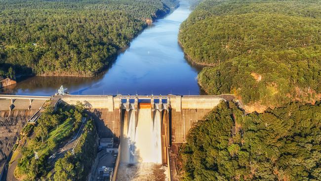
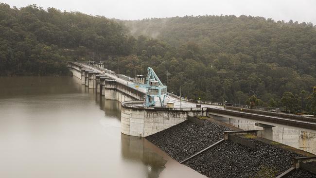
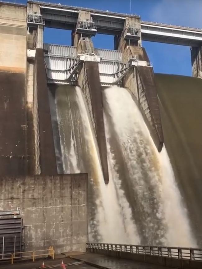
But the alert has a particular relevance communities around the dams that have previously exacerbated floods such as Sydney’s Warragamba, Brisbane’s Wivenhoe and other dams scattered around eastern Australia – possibly as far south as Lake Eppalock in Victoria, which, if there is a spill, can flood the town of Rochester.

If the system the experts are tracking continues to follow its historic pattern, then there will be heavy rain in eastern Australia around the end of the year and/or the beginning of 2025.
The managers of the above dams and similar water storages don’t need to make decisions now, but must follow the weather pattern. Last year, US weather people noticed a body of deep cold water proceeding easterly across the Pacific towards the US. On many (but not all) occasions in the past, similar water streams have hit the America’s coast and rolled over to become a stream of cold water much closer to the surface, heading west across the Pacific towards Australia.
Americans fear this water movement pattern because it very often creates increased hurricanes in the US.
Of course, it doesn’t always happen that way but, to date, this particular water movement is looking like a hurricane causing classic. The stream of surface cold water is now headed towards Australia and has passed Honolulu.
Again, with the US style alert caveats, if the stream of water comes close to northern Australia it will force warmer water into the Papua New Guinea/Indonesian area. When that happens, it usually creates very heavy rainfall. It is possible that the rain will stay in PNG and Indonesia, but normally it extends across northern Australia and spreads south through Brisbane and Sydney into northern Victoria.
If such a pattern developed, southern Victoria and South Australia would be unlikely to get heavy rain. The clients of US and Australian commercial weather analysts are now receiving regular updates, with the constant qualification that the pattern could change.

No one, and particularly our Bureau of Meteorology, is prepared to issue the kind of forecast put out by the Australian BOM last September which stated:
“Unusually low rainfall is at least twice as likely for parts of southern and northeastern Australia, with the chance of unusually low rainfall increasing to 3 times as likely for southeastern WA and parts of southern Victoria.”
Then came 19 chilling words for farmers: “Unusually low rainfall equates to the driest 20 per cent of October to December periods from 1981 to 2018.”
Apart from getting it totally wrong (there was heavy rain) the weather bureau did not update with sufficient clarity and regularity that the systems they had previously followed evolved into a different direction to the way they had expected, Farmers sold stock at low prices.
And of course that could happen with the current weather system.
I was first alerted to this developing water system late last year when it was very speculative, but since then the system has performed exactly the way similar eastern Australian rain creating systems have developed over the last 100 years. So it's time to issue an alert.
The management of our big dams are always reluctant to let water go in advance of major rain falls because they fear the rain might not arrive, and they will be short of water.
And so in 2016 there were calls for the Warragamba Dam to release water. The dam managers resisted the pressure and the rain system went in a different direction. In the years that followed there was a severe drought which would have been far worse had the dam levels been lowered.

In 2022, Brisbane’s Wivenhoe started the wet season only 56 per cent full. The large rainfall later caused a spill, but it wouldn’t have been conceivable to reduce water when it was only 56 per cent full.
The bottom line is that there are likely to be some difficult decisions for the water bodies that control the dams, but it will be much easier to make those decisions if they are following the cold-water pattern.
The long term issue is that weather issues in the Bureau of Meteorology and CSIRO have often been entwined with climate change agendas. The Americans are more skilled in separating those agendas from concentration on the nature of a particular weather system and how they have performed in the past. It doesn’t mean their conclusions will be right, or climate change based forecasting wrong, but at least they're a basis of precedent.


These days, most weather discussion revolves around climate change, which can obscure significant conventional weather events that look to be heading Australia’s way.