Ski season to start early as polar blast brings heavy snow dumps
An unseasonably cold week of weather has prompted one Aussie ski resort to open its lifts earlier than normal.
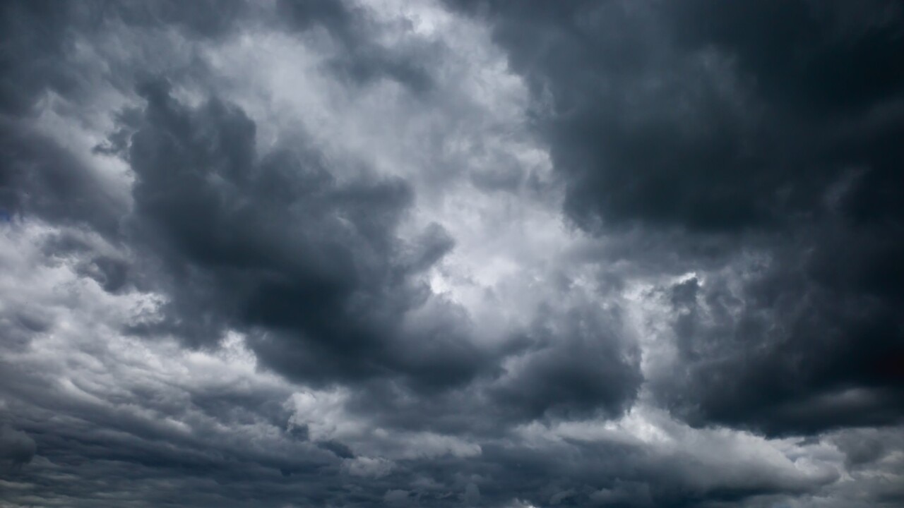
Australia’s ski season will kick off early this year as a polar blast brings heavy snow dumps to the mountains.
Traditionally beginning on the June long weekend, this year unusually cold weather has prompted Perisher to bring its season forward one week to this Saturday.
At this stage Thredbo will open on 11 June as planned.
“Snow much snow we decided to open early! That’s right folks, our lifts will be spinning from Saturday 4 June,” Perisher Resort posted on social media.
Lots of snow has fallen on our #Perisher and #Thredbo Fire Stations today, with even more of the fluffy stuff on the way 🌨🂠When you’re keeping warm tonight, keep everything at least one metre from the heater and make sure you have a working smoke alarm 🔥🡠#FRNSWpic.twitter.com/ATtjRa8k5u
— Fire and Rescue NSW (@FRNSW) May 31, 2022
As well as the good news of an early ski season, the polar blast also brought with it the destructive winds.
The Bureau of Meteorology issued a severe weather warning for damaging winds of over 90km/h for southern NSW and locations across Victoria, including Melbourne, on Wednesday morning.
This means blizzards are likely in NSW locations above 1800m and possibly above 1200m, while they are possible in Victorian alpine areas.
Severe Weather Update: cold and windy conditions continue for south-east Australia. Video current: 12.30pm AEST 31 May 2022
— Bureau of Meteorology, Australia (@BOM_au) May 31, 2022
Know your weather, know your risk. For the latest forecasts and warnings, go to our website https://t.co/6ARlx2GTrY or the #BOMWeather app. pic.twitter.com/8sCwC3b4F8
This early winter assault has caused plenty of snow to start falling, with 15 to 20cm seen in alpine areas since Monday night.
The chilliest air of the cold front is expected to move through from Tuesday evening to Wednesday morning, meaning snow could fall as low as 600m in NSW, Victoria and Tasmania.
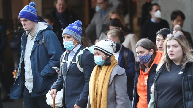
But the polar blast has meant locals have needed to rug up to brave the conditions.
Melbourne recorded its coldest day of the year on Monday, when temperatures reached 11.7C, while temperatures could hit 10C in Sydney on Tuesday.
Temperatures in areas like Canberra, Lithgow, Orange, Bathurst and Crookwell are forecast to drop to as low as -2C by Thursday morning.
NSW Police have issued a snow safety warning for Barrington Tops, with access currently closed from Gloucester due to an unstable section of road.
Visitors have been warned to prepare for rapidly changing extreme weather, including rain, snow, strong winds and sub-zero temperatures.
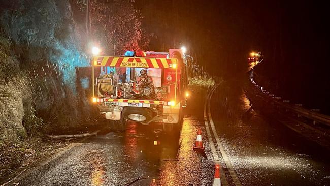
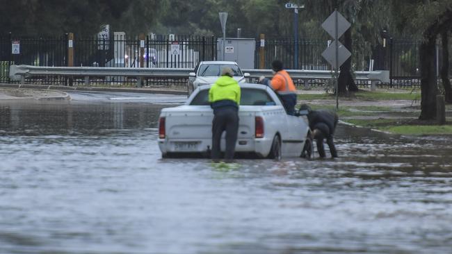
It comes after the same storm left tens of thousands of homes in NSW and Queensland without power.
The dangerous cold front has been bringing heavy rain and damaging winds as it moves across the country, downing trees and power lines which triggered power outages in NSW and southern Queensland overnight.
On Tuesday morning Ausgrid said about 12,88 sites were affected by 50 unplanned outages.
In Queensland’s southeast, 10,426 locations were without power, according to Energex.
Severe weather warnings have been issued for parts of Queensland and NSW for Tuesday due to the damaging winds.
In NSW, winds with peak gusts up to 90 to 100km/h are likely on and east of the Great Dividing Range, possibly reaching 110km/h around exposed higher ground.
The possible affected areas include Sydney, Wollongong and Canberra.
In Queensland, winds over 90 km/h are also possible in Brisbane, the Gold Coast and Sunshine Coast.
Emergency services have been fielding calls for numerous incidents in either state, while nearly 20 flights coming in and out of Brisbane Airport have been cancelled due to the harsh conditions.
Residents in affected areas have been advised to secure outdoor furniture, flip the trampoline, reconsider the need to drive and stay away from fallen trees and power lines.
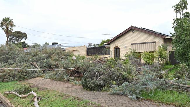
It comes after a “mini tornado” swept through Adelaide’s north early Monday morning.
The harsh winds and heavy rainfall caused localised flooding, downed power lines and trees, and damaged buildings in Salisbury and its surrounding districts.
The South Australian State Emergency Service responded to more than 200 jobs in the area, while thousands were left without power.

Footage shows brutal soccer fan brawl
A video posted to TikTok has shown two groups of men, believed to be rival soccer fans, hurtling metal chairs and umbrellas at each other on a popular Melbourne strip.

‘Juvenile’: Shots fired over warships
A senior Labor minister has rebuffed Coalition criticisms of the Albanese government’s response to a Chinese flotilla lurking off Australia’s east coast.