Heatwave to hit southeast and central Queensland this week
An ‘uncomfortable’ heatwave is set to hit Queensland this week with hot days and warm night on the way, the weather bureau has warned.
Hot days and warm night are set to hit Queensland this week as the state swelters through an “uncomfortable” heatwave.
The weather bureau has warned of temperatures reaching the high 30s to low 40s for most of the southeast and central districts.
Meteorologist Jonathan How said maximum temperatures about 6C to 12C above average for this time of year were expected over the next few days.
“Monday looking to be the peak heat day and that’s where we’ll see temperatures get up to the high 30s and even the low 40s for parts of the southeast and central districts of Queensland,” he said.
“The worst of the heat will be centred around the Capricorn district but we will see above average temperatures stretch down to Brisbane and inland as well, as far west as places like Longreach and Birdsville.
“On Monday, in the western parts of Brisbane and along the coast to places like Gladstone and Bundaberg, we’ll see temperatures of 36C to 38C, but further inland we will see places like Rockhampton crack 40C.”
Rockhampton is heading for a top of 41C on Monday, with Ipswich set to hit 37C and Brisbane 34C.
Mr How said heatwave conditions across parts of the southeast and Central Australia were pushing into Queensland over the next few days.
He said some places could see their hottest day since December 2019.
“It is summer so it’s not unusual for this time of year but it will be uncomfortable,” he said.
“On Tuesday, we will see showers and thunderstorms start to develop across coastal parts of Queensland, but it’s not until Wednesday that we start to see a little bit more relief with widespread thunderstorm activity but it will still remain quite hot until next weekend.”
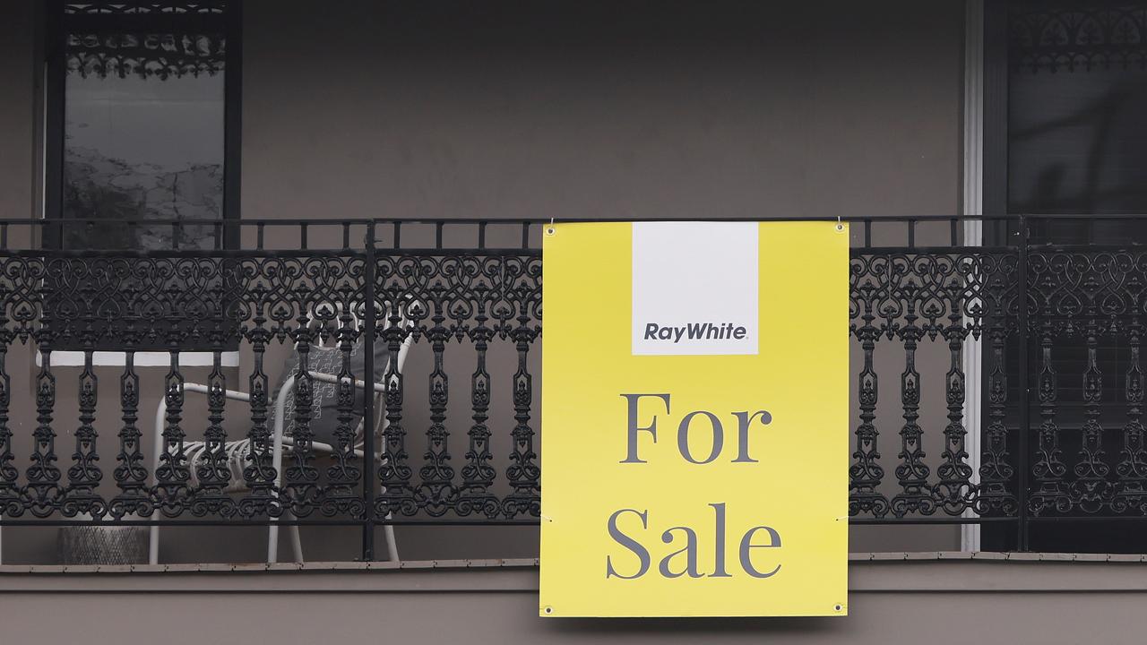
Proof you can own in Sydney for under $1m
Fresh government data has shined new hope on the great Australian dream, proving you can still buy a home in Sydney for under $1m.
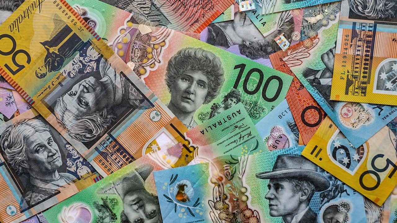
Massive HECS change coming to home buyers
Treasurer Jim Chalmers said he is asking for a “commonsense” change that will allow help more Australians purchase their first home.