Half of Australia is in the midst of a wild weather event with more severe storms to come
Large parts of Queensland and NSW remain on flood watch after another night of torrential rain. Here’s where wild storms will hit next.
A night of torrential rain has nearly every state and territory on flood watch, with the weather bureau tipping more wild weather on the way.
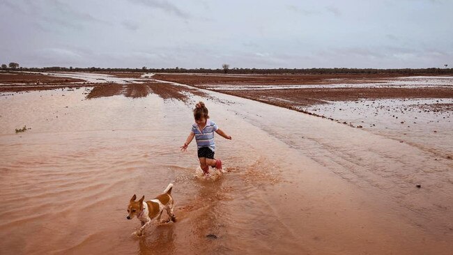
Paddocks have been soaked, rain gauges filled, and roads closed as a massive low pressure system continues to slosh its way across the country on Friday morning, with inland Queensland copping the heaviest falls.
So much of Thylungra is either flooded already or will be by sundown tomorrow. Great natural flood country, safe for stock and gentle on fences. pic.twitter.com/7OQfh5WOXc
— George Scott (@NtDrifter) November 11, 2021
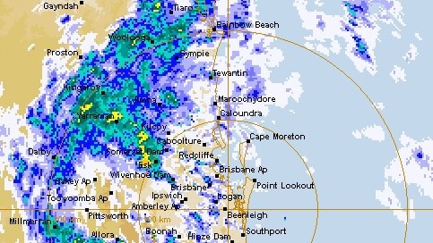
The gigantic rain band dropped more than 150mm near Biloela in Central Queensland and stretched all the way to Maroochydore and Caboolture on the Sunshine Coast.
Queensland Fire and Emergency Services assistant commissioner John Cawcutt said more than 150 roads remained blocked after authorities responded to 100 jobs last night, including four water rescues.
He was expecting further floods and flash flood events over the next 24 hours.
“It’s been a very hectic few days that’s for sure,” Mr Cawcutt told ABC News 24.
Anyone else getting over checking on this 😂 57.5mm overnight in Young 🌧 with more expected today 😬 pic.twitter.com/JbX3SdrTBe
— Adele (Offley) Smith (@AdeleOffley) November 11, 2021
Large parts of south west and southern Queensland remain on flood watch – particularly the Border Rivers region – while several communities throughout inland NSW west of the Great Dividing Range are also monitoring rising river levels.
Bureau of meteorology forecaster Jonathan How said the rain was particularly fierce across the Hunter Valley and Central West with Bunnam near Newcastle receiving 99mm and Orange getting nearly 80mm.
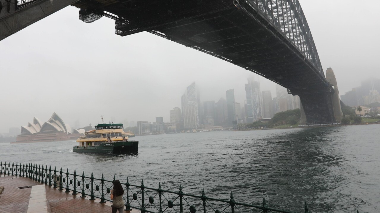
Sydney and Canberra also copped a decent soaking overnight, and severe thunderstorms are expected over the ACT later today.
Meanwhile flood warnings are current for the Gwydir and Mehi Rivers, Lachlan River at Booligal in NSW, and the Macintyre, Dumaresq and Weir Rivers in Queensland.
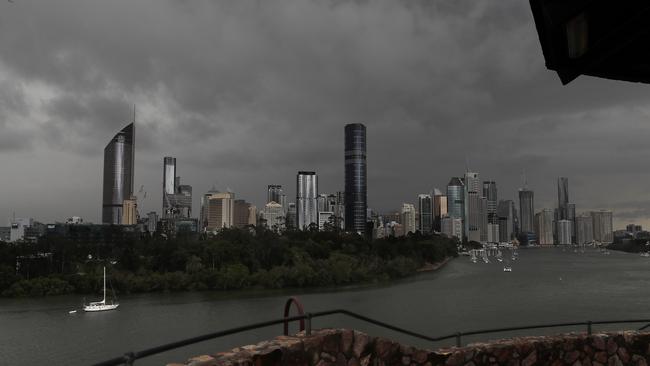
As Friday progresses, Mr How said rain would be moving towards the tropical coast. Northern NSW, Brisbane, and the Wide Bay areas remain in the firing line.
Mr How also tipped Eastern Victoria and South East NSW to be affected by a heavy low pressure system, with river levels expected to climb.
Curiously, several communities in South Australia had their coldest November day in at least 50 years.
Mr How said a combination of thick clouds and cold winds from the south had sent temperatures down to 10 degrees – and even lower – at locations near Ceduna, Port Augusta, and Whyalla.
Several NSW and Victorian towns could also break low temperature records on Friday, Mr How said.

Saints great defends Godfather offer
St Kilda’s pursuit of Tom De Koning gets the thumbs up from Nick Riewoldt, who believes big contracts offer flexibility.

Aussies staple you’ll be lucky to find
Floodwaters in North Queensland have cut off supply routes for an Aussie staple that will be in short supply at your local supermarket.