‘Dangerous conditions’: Icy blast to lash south eastern Australia triggering severe weather warnings
Residents living in Australia’s eastern states have been warned to brace for potentially dangerous weather conditions as a cold front sweeps through.
There are severe weather warnings in place for much of south eastern Australia as a dangerous conditions lash the coast.
Much of NSW and the ACT will be hit by damaging winds from Friday, with conditions to deteriorate into Saturday in many regions.
Severe weather warnings stretch from Victoria all the way to the Queensland border.
The weather bureau has warned relentless winds could bring down trees and powerlines.
“A deep low pressure system south of The Bight will move slowly east over the next couple of days,” the Bureau of Meteorology said.
“A series of troughs and cold fronts associated with this low are forecast to cross southeast Australia during this period, bringing a vigorous westerly airflow to the region, particularly today and Saturday.”
Severe Weather Update: damaging winds, large seas, rain and snow for southeastern states. Video current 2.30pm AEST 16 July 2021.
— Bureau of Meteorology, Australia (@BOM_au) July 16, 2021
For the latest forecasts and warnings, go to our website https://t.co/PuRw9erBcw or the #BOMWeather app. pic.twitter.com/FzAYDlfvke
Gusts of up to 90km/h could hit Sydney, as well as the eastern districts including the Alpine, Southern Tablelands, Illawarra, Blue Mountains and elevated parts of the south coast, ACT and parts of the South West Slopes.
A wind speed of up to 107 km/h has already been recorded in Williamtown.
While the BOM said a severe weather warning for damaging winds had been extended to cover much of western Victoria for Friday and Saturday.
Storms are also possible.
Meanwhile Queensland will experience gusty winds across the southern interior and southeast during the next couple of days.

Flood warnings are in place for the Macintyre, Weir and Moonie rivers.
Residents have been warned not to head out onto the water, and to avoid dangerous activities like rock fishing.
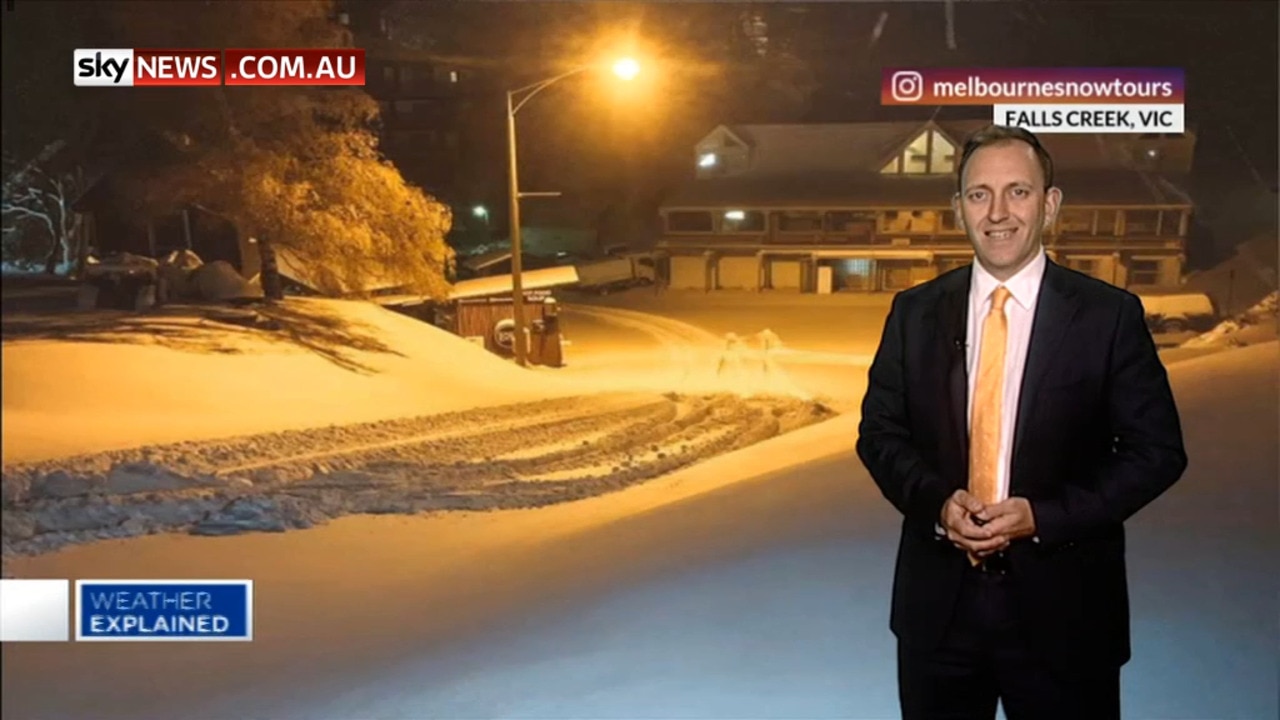
According to the BOM a cold front is sweeping through and could trigger “blizzard conditions” in alpine areas where snow is forecast to fall.
“Satellite shows a deep low south of The (Great Australian) Bight exhibiting an unusual northeast to southwest tilt,” BOM meteorologist Jackson Browne said.
“An unusual pattern makes for unusual weather and goes a fair way to explain the extremely vigorous air stream over southern Australia.
“Showers and storms over the southeast are embedded within this flow.”
Light falls are possible in parts of the Monaro Country, Southern Tablelands, ACT and Central Tablelands.
âš ï¸ Severe Weather Warning UPDATED to include Sydney Metro âš ï¸ for Damaging Winds. Vigorous W/NW winds over the southwest , central and southern ranges and adjacent coasts, extending to northern ranges and Hunter from Saturday morning.
— Bureau of Meteorology, New South Wales (@BOM_NSW) July 16, 2021
Latest warning at https://t.co/EIDIQ98q7dpic.twitter.com/LUy7DYflz5
Motorists have also been warned to take extra care because snow and ice may cause dangerous conditions on the roads.
The NSW tablelands and western slopes are predicted to cop a drenching and thunderstorms and hail are also possible.
There’s also a flooding risk for some river catchments in NSW including the Upper Macintyre and Severn Rivers at Ashford and Yetman.
South Australians have also been told to brace for wild weather.
There’s a severe weather warning for damaging winds across much of the state including in Adelaide.

2500 super members slugged unwanted fees
A major superannuation fund that incorrectly charged members for insurance premiums they didn’t want has divided an online community with its response.

Man arrested for alleged murder of woman
A man has been arrested following investigations into the suspicious death of a woman who was found dead in her home.