
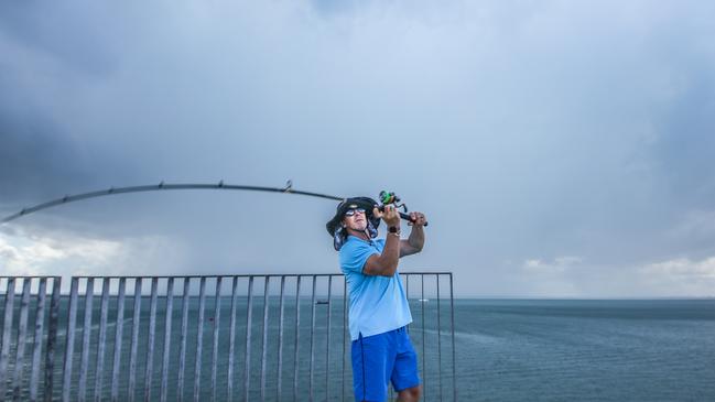
Windy wet to continue as ex-Tropical Cyclone Ellie heads back into the Territory
Blustery, wet weather is persisting in the Top End as ex-Tropical Cyclone Ellie makes its way back into the Territory. Here’s your weekend weather forecast.
News
Don't miss out on the headlines from News. Followed categories will be added to My News.
Blustery winds will persist in the Top End this weekend despite storms and heavy showers starting to ease.
The forecast of continued north-westerly winds comes as ex-tropical Cyclone Ellie is expected to cross back over the Western Australia-NT border on Saturday.
Darwin-based Bureau of Meteorology community information officer Patch Clapp said the tropical low was on track to hit east of Alice Springs.
“At the moment it’s quite slow moving over Broome but through Friday it will move more quickly towards the southwest corner of the Territory,” he said.
“It will impact the northern part of the Lasseter district and the southern part of the Tanami district, so down as far as Yulara.
“We’re expecting it to cross sometime later on Saturday but very much weakening as it tracks.
“Places like Yuendemu and Papunya could see some heavy rain, with isolated falls up to 100m possible.”
Mr Clapp said the system would start to dissipate and become “very difficult to identify as ex-Tropical Cyclone Ellie” by Sunday.
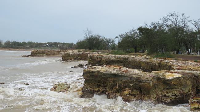
Continuously wet, windy weather is expected in Darwin over the next week, though severity of showers and storms are easing in the western parts of the Top End.
“There will be a few more sun breaks as the rainfall becomes more isolated,” Mr Clapp said.
“However pulses of rainy conditions will continue over the next few days.
“They’re supported by quite a bit of north-westerly winds from ex-Tropical Cyclone Ellie still moving.”
Daily totals of up to 25mm is expected in Darwin on Thursday and Friday, before the forecasts drop to a few millimetres over the weekend.
A strong wind warning remains in place for the Beagle Bonaparte, Arafura, Gove Peninsula and Roper Groote coasts.
Send your weather photos and videos to news@ntnews.com.au


Measles alert: Locations sick tourist visited during Territory trip
NT Health has issued a measles alert, along with a string of locations visited by a sick tourist during a visit to the Northern Territory. FREE READ.

‘Five locations’: How decades-old reports could crack Falconio case
The confidential reports, commissioned by the British government and given to NT Police, identified ‘five locations’ where Falconio could be, the expert says.