
Monsoon to ease as ex-cyclone Ellie could head to Central Australia
The Bureau has revealed where ex-Tropical Cyclone Ellie could head towards while predicting how the Top End’s monsoon will transform this week. Here’s the latest forecast.
Forecasters have revealed ex-Tropical Cyclone Ellie could cross back into the NT despite monsoonal weather starting to ease in the Top End.
It comes after severe weather warnings for the Daly, Gregory, Tiwi and Arnhem districts were cancelled Tuesday morning.
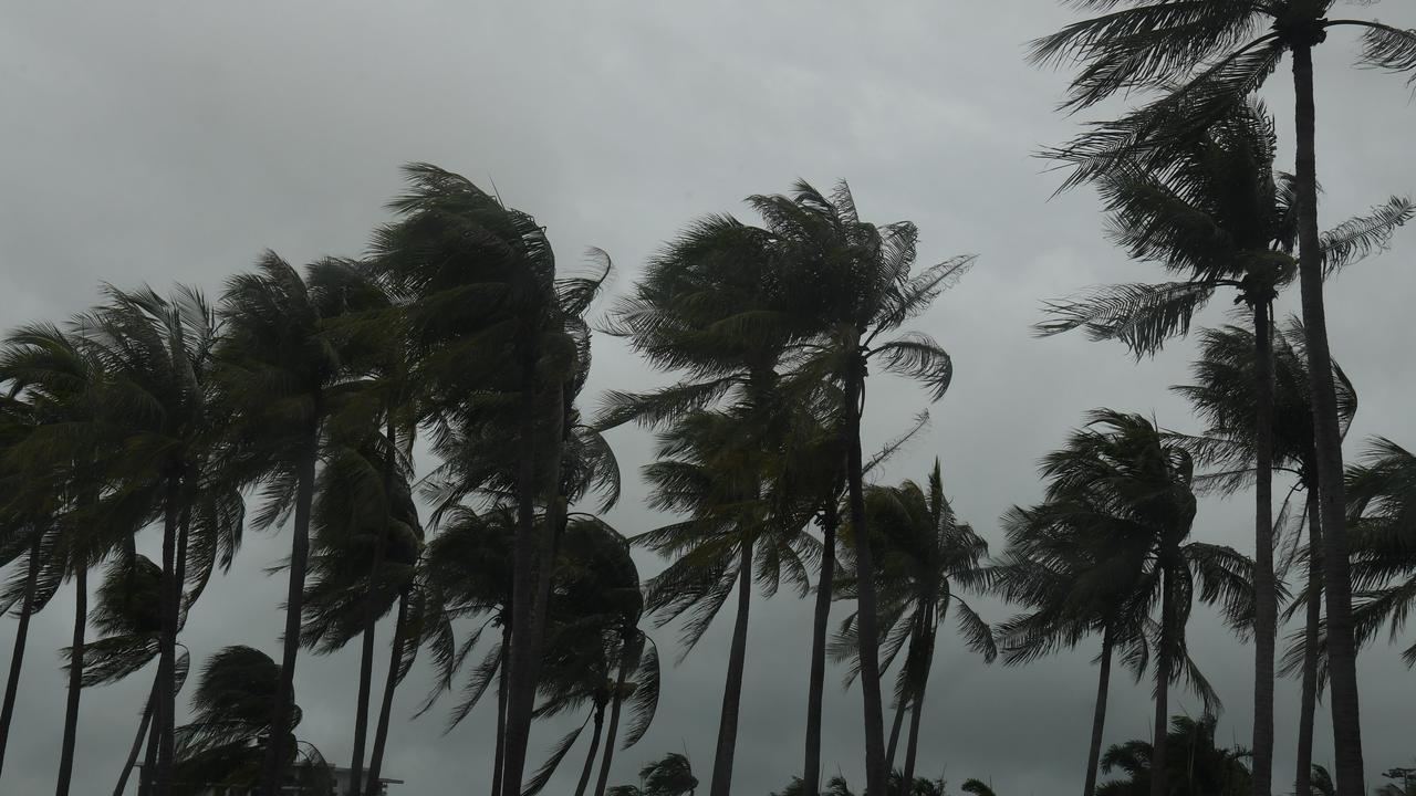
Bureau of Meteorology meteorologist Sally Cutter said the “vigorous” monsoon flow impacting Darwin was gradually easing but wet weather was still expected for some time.
“We’re starting to see the monsoon ease with winds gradually backing off,” she said.
“There’s no longer damaging wind gusts but we’ll still likely see heavy monsoonal showers.
“As it goes through the week in the north we’ll see things start to quieten down but we won’t see everything stopping completely.”
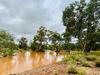
More than 340mm was recorded over the week to Monday at Howard Springs.

Ms Cutter also said there was a possibility ex-Tropical Cyclone Ellie, which is currently over Western Australia, could head towards the Lasseter and Southern Tanami regions in Central Australia towards the end of the week.
“It is one possibility we are monitoring closely that could happen late in the week or more likely the weekend,” she said.
“It could go a long way inland but the rainfall will really depend on how good the structure is.
“Next week it will lose a lot of its structure.
“In the next couple of days we’ll have a clearer picture as to whether it’s done a left-hand turn and is coming back towards us.”
Chief Minister Natasha Fyles said the government was continuing to help Timber Creek residents while officials monitored the possibility of the ex-cyclone tracking back towards the Territory.

“It wasn’t just a welfare response, but we had police, we had infrastructure people out (in Timber Creek) and they’re still out assessing roads, making sure that we can have access where safe and working on repairs,” Ms Fyles said.
“We’ve got people moving back into some homes, and we’ve worked to secure accommodation for others.
“We have seen in a large amount of rainfall across the Northern Territory – rivers are at capacity – so anywhere in the Territory could potentially see flooding over the coming weeks.”
The Barkly Hwy towards Queensland reopened on Monday however single lane closures would occur as repairs are completed.
Send your weather pictures and videos to news@ntnews.com.au


Repairs begin at RDH after cyclone damage
