Tropical low near the Top End could develop into Cyclone Lucas in coming days: BOM
A TROPICAL low has developed near the Top End, with the Bureau of Meteorology warning it could develop into a cyclone in coming days.

Northern Territory
Don't miss out on the headlines from Northern Territory. Followed categories will be added to My News.
A TROPICAL low has developed near the Top End, with the Bureau of Meteorology (BOM) warning it could develop into a cyclone in coming days.
The low, which began developing near the northeastern Top End on Friday has been strengthening over the weekend and will continue to strengthen in the Gulf of Carpentaria in the next day or two.
If the cyclone forms, it will be called Lucas.
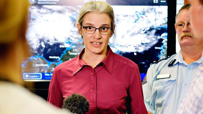
BOM senior forecaster Sally Cutter said the likelihood of a tropical cyclone will rise from very low today to moderate by Wednesday, which mean there is a 20 to 50 per cent chance of a cyclone forming in Northern Australia.
However, she said the system is not expected to directly impact the NT.
“At this stage is not going to have any direct impact on the Northern Territory, except for bringing those stronger winds through the northern coastal waters,” she said.
MORE NT NEWS
Alice Springs CBD to get around-the-clock police presence after 25 break-ins in one weekend
COVID-19: TGA approves Pfizer vaccine
Little northern quoll rescued from flooded bin in nick of time
“At this stage we are expecting the major impacts to be on Cape York Peninsula, for this low, in the Gulf of Carpentaria.”
The low is expected to move east into the Gulf in the coming days, however it is unclear where it will move to from there.
“The longer term track is a little bit uncertain at the moment. All the order systems that steer these lows and cyclones are very finely balanced, which means is that some uncertainty in its long term path,” Ms Cutter said.
The system is also set to bring more monsoonal rain, showers and thunderstorms for the rest of the week, meaning a wet few days in the Top End.
“With the monsoon low, we’re expecting to continue over the Top End for the next several days,” Ms Cutter said.
“We are expecting to see these overnight rain periods continuing around the western Top End and potentially along the north coast and long further down the west coast.”
NT NEWS sizzling new deal: Get all your news for just $5 a month
The Top End has already experienced significant rainfall over the past week.
In the week leading up to 9am this morning, Channel Point had recorded 242mm, while 197mm had been recorded at Elcho Island 174mm at Gunn Point and 165mm at Royal Darwin Hospital.


