
Bureau predicts tropical cyclone will form east of PNG next week
Australia and Fiji are battling for naming rights of an early-forming storm that’s a high chance of powering up into a tropical cyclone next week, but a serious impact to the Queensland coast is unexpected.
Cairns
Don't miss out on the headlines from Cairns. Followed categories will be added to My News.
A second tropical cyclone in as many months is a high chance of forming in the South Pacific Ocean next week, according to the national forecaster.
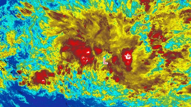
A tropical low developing near the Solomon Islands will track west and move over the group into Australia’s area of responsibility late Sunday or Monday morning.
The low pressure system, dubbed 02U, has a high chance of developing into a tropical cyclone on Tuesday, by which time it will be in the Solomon Sea, according to the Bureau of Meteorology.
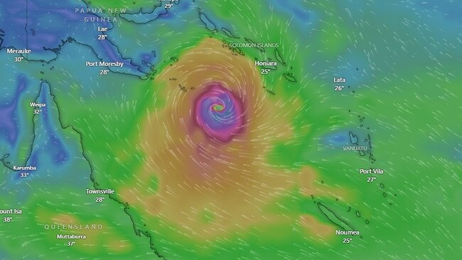
The system will power up on Wednesday and from Thursday through Friday, 02U has a 90 per cent chance of forming a tropical cyclone about 100km west of Papua New Guinea’s Sudest Island.
Senior bureau meteorologist Felim Hanniffy said no direct impacts were expected within the next seven days.
“But the big uncertainty is how it interacts with a broader upper trough in south east Australia, which could draw it into the Queensland coast,” he said.
“It may increase wind and swells on the east coast the week after next and (create) pretty decent trade flows and a good run of south easterly winds which should bring a bit a reprieve from the humid conditions in Cairns.”
Most weather models have 02U developing as a category 3 system near the Solomon Islands or far northeast of the Coral Sea, but Mr Hanniffy said it could be stronger.
If the system forms in Australia’s patch the cyclone will be named Jasper.
Early forming Coral Sea cyclones were unusual but not unprecedented, Mr Hanniffy said.
The last time a December tropical storm formed in the Coral Sea was in 1993 when Cyclone Rewa affected six countries and caused 22 deaths.
A year earlier Cyclone Nina formed over Cape York and made landfall as a category 2 storm.
And in 1971 Cyclone Althea formed just before Christmas and was one of the strongest storms ever to affect the Townsville area.
Outside Australia’s area of responsibility in late October, the out-of-season category 5 storm, Cyclone Lola, crossed the coast of the largest island in the Vanuatu group.
An El Nino weather pattern, said to now be at moderate strength, typically reduces the likelihood of cyclone activity in the Coral Sea according to the Bureau, however sea surface temperatures of well above the 26C required to trigger cyclone formation have been recorded at the Solomon Sea.
More Coverage

Originally published as Bureau predicts tropical cyclone will form east of PNG next week
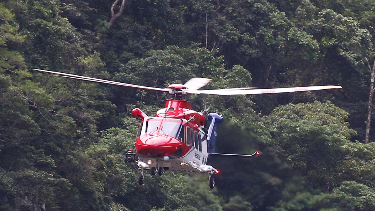
Helicopter sent to man trapped in truck on PDR
A man remains trapped in the cab of a truck on a remote Cape York road after rolling his vehicle. The rescue chopper has just landed at the scene.
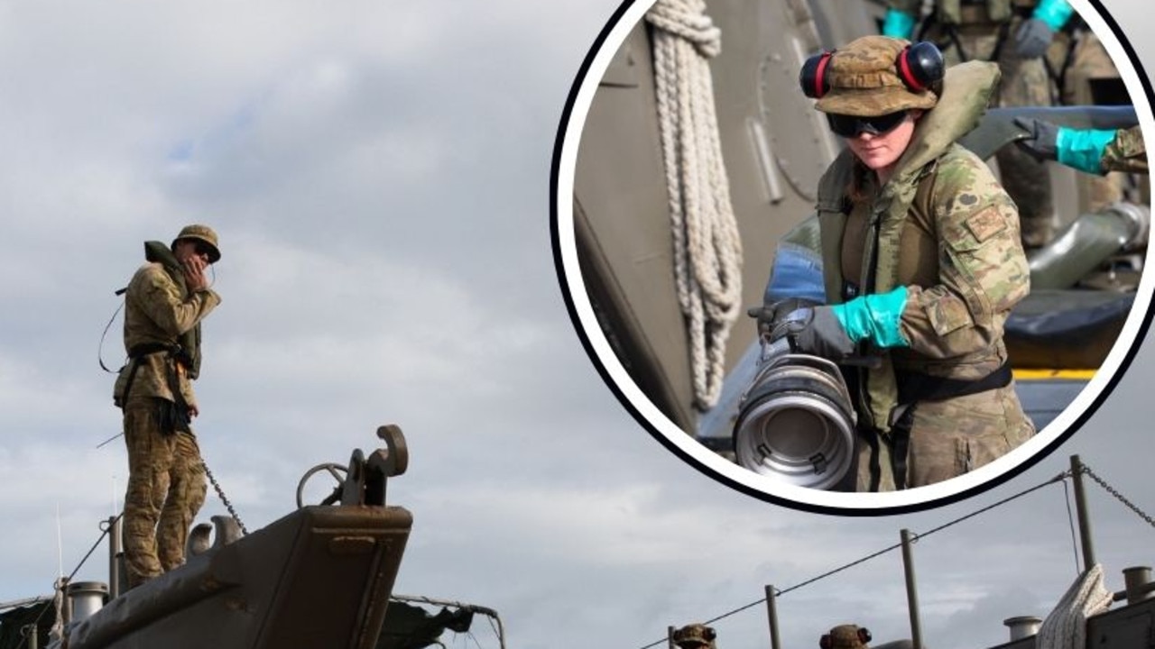
Stunning images and footage of major army exercise
Stunning images from a major army exercise offer an insider’s perspective on the large-scale training held this week at Cowley Beach in Queensland, where soldiers honed their skills in handling large volumes of fuel.