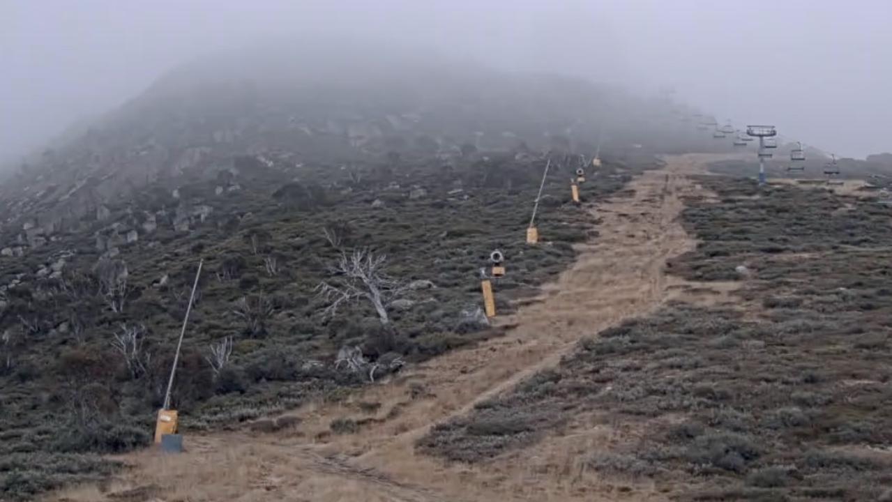
Wild weather brings snow to parts of NSW but the downfall is set to ease by the long weekend
As wild weather brings heavy rain and even snow across parts of the country, an unusual pattern means bad news for those heading to the snow.
As the mercury plunged in Sydney overnight to just -0.2C at about 4.30am, the outskirts of the city and the alpine ranges really felt the wintry chill.
In the Blue Mountains, temperatures dropped to -8C while sunny Queensland dipped to just 2.4C at Brisbane Airport this morning.
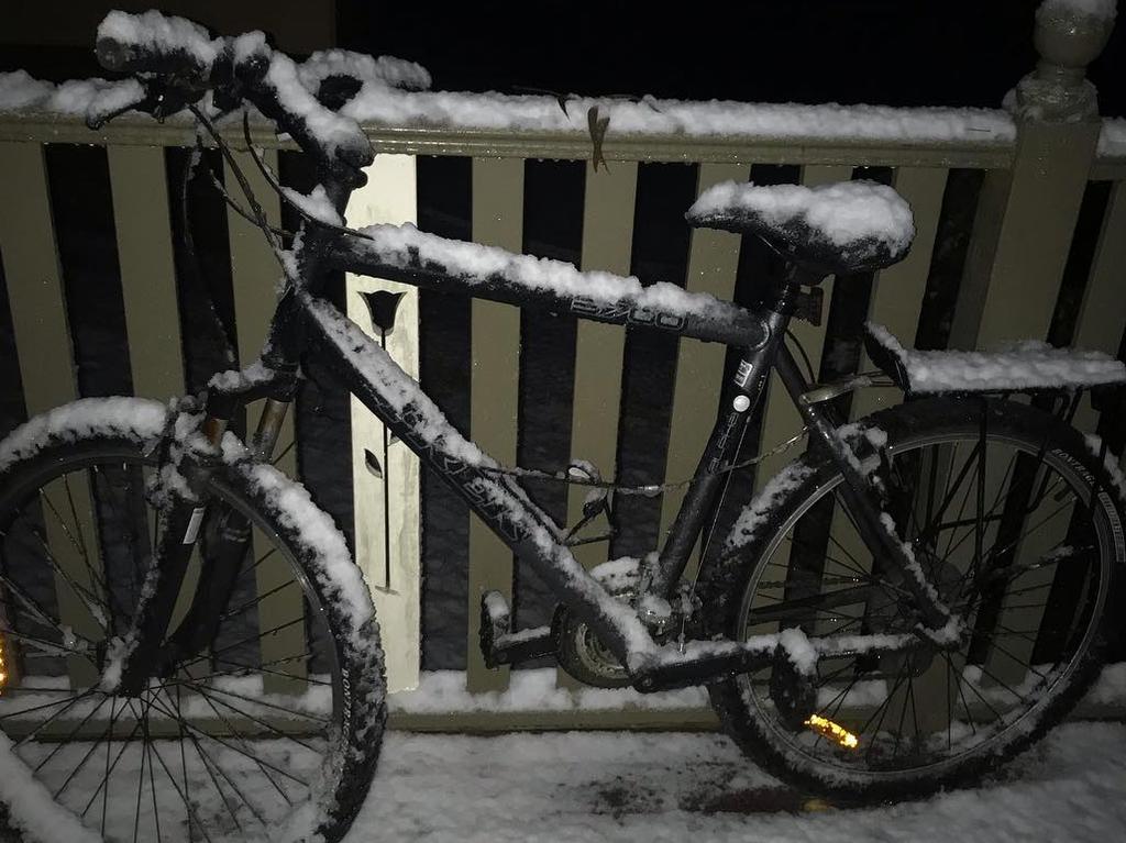
As much as 60mm of rain and 130km/h winds could sweep across Sydney today, with snow already recorded in the Blue Mountains and Central Tablelands as well as heavy downfalls in the alpine region.
The wintry weather is expected to stick around the east coast today and into Wednesday, with below average temperatures expected to possibly bring frost in the Northern Territory and snow in Queensland.

“A mass of cold air is moving towards the northeast of the country. We call this a ‘cold pool’, and that will lead to the formation of a deep low in the western Tasman Sea,” Sky News chief meteorologist Tom Saunders said
“It’s been a cold start to winter for much of central and eastern Australia.
“We’re expecting heavy rain in Western Australia later this week to end the state’s dry stop.”
The intense weather pattern, which will also bring strong winds and heavy rains to parts of NSW today, caused a dumping of “heavy snow” across the alpine region overnight and across the Central Tablelands.
“The snow was coming in from the opposite direction compared to normal,” Mr Saunders said.
“During most snowstorms in Australia, it comes from the west or the northwest, but this (snow) was coming in from the southeast. What that means is the snow will fill in the gaps that weren’t filled in when we had a north-westerly airstream during last week’s snow event.”

But as quickly as it came, the snow will be short-lived. Mr Saunders noted a “spinning” cloud over Australia’s southeast, which is causing a “rapidly deepening low pressure system”, will significantly reduce snowfall by the weekend.
“The snow will quickly ease up as we move through Tuesday,” he explained.
“A large high will replace it later in the week, which means cold, frosty nights but dry conditions with relatively calm winds in the second half of this week.
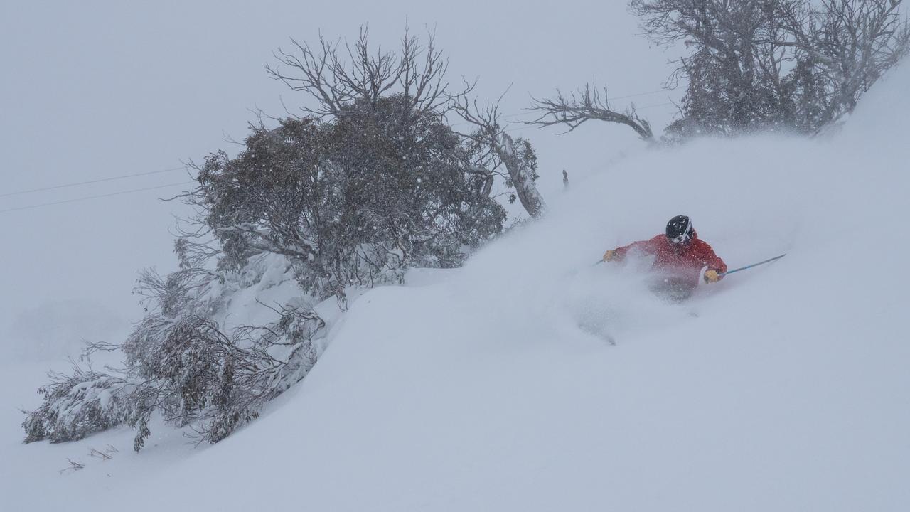
“By Wednesday, all of the snow will have cleared up. For Mount Buller we are only expecting 3cm of fresh snow by the weekend. Falls Creek and Mount Hotham we are forecasting 8cm of fresh snow over the next week.
“Perisher and Thredbo we are forecasting 12cm of snow — that’s because the snow should be heavier, particularly on Tuesday morning, near the Tasman low.”
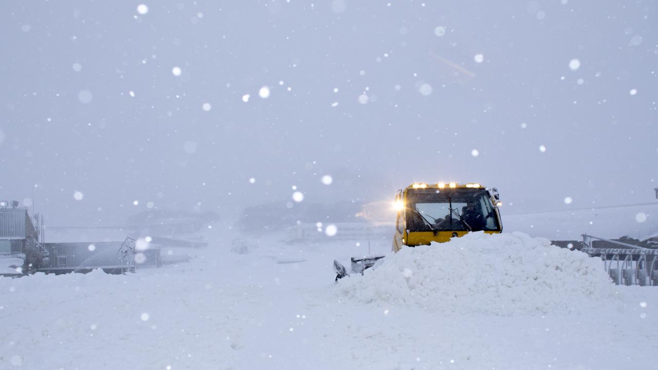
The snow season kicked off eight days early over the weekend as snow lovers welcomed unseasonably high downfalls heading into June.

On Sunday, the alpine region in Victoria dipped well below freezing with snow falling across much of Victoria and into NSW.
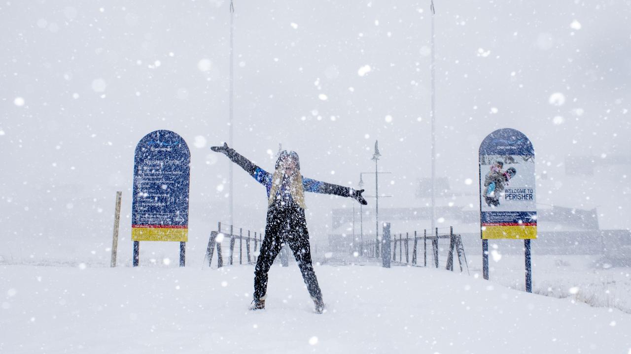
Temperatures were frosty for much of Victoria on Monday, four days after the state shivered through its coldest May day for 19 years.
The mercury in Melbourne will reach just 13C today. In Ballarat, where it got to a top of 5.7C last Wednesday — the coldest maximum since 2000 — it’ll get to around 9C.
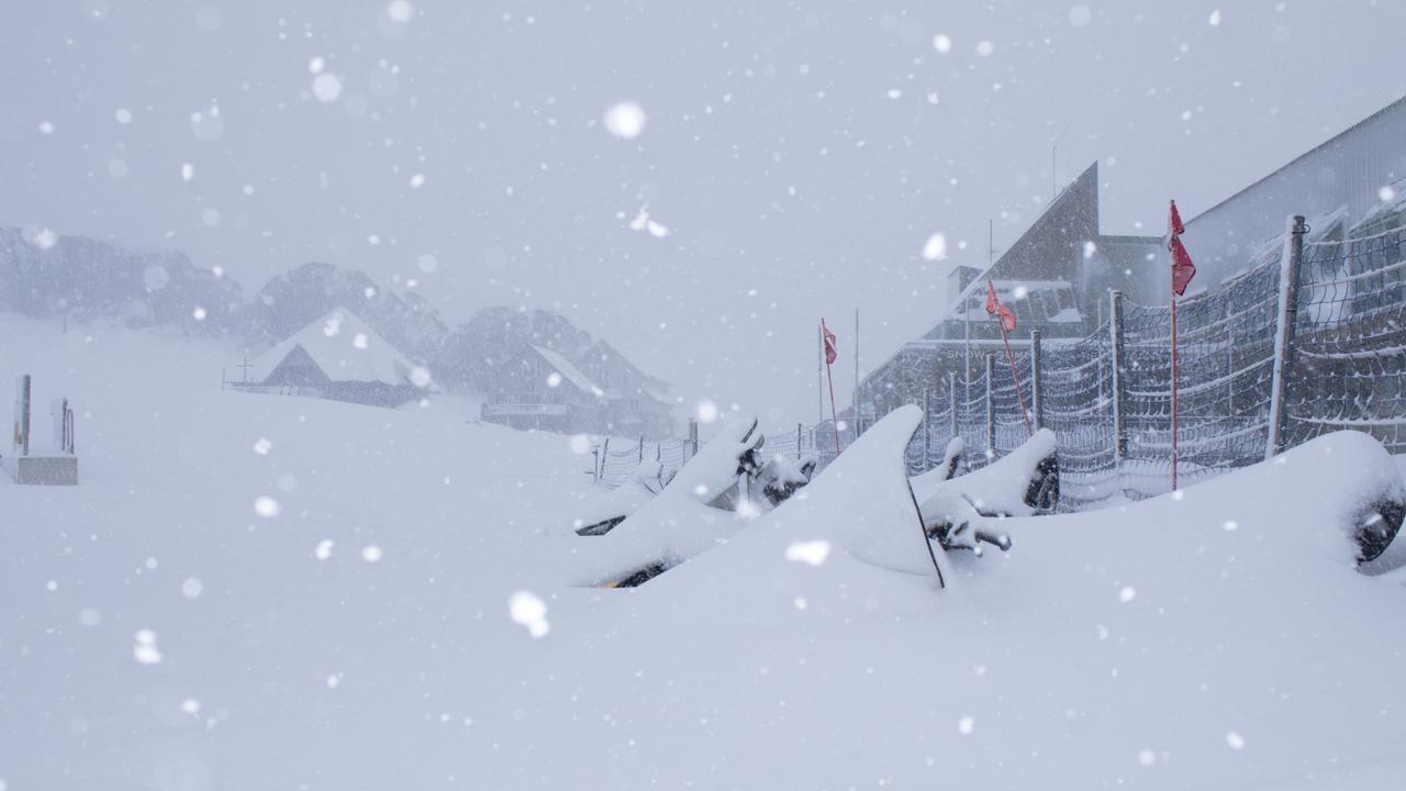
Meteorologists say the weather will fine up on Wednesday across Victorian and NSW ski resorts and into the long weekend.
The heavy falls last week led some resorts to open their season a week early but also brought problems.
At Mount Baw Baw, heavy snow knocked down trees and forced the closure of a main road up to the mountain.
The final week of autumn brought almost 74cm of snow in some parts of the country, resulting in some of the best ski conditions experts have seen in decades.


