
‘Yet to see the worst’: Flood warning as polar blast hits
A polar blast has brought freezing conditions and snow to one state, with the chilly conditions to remain in three states until the weekend.


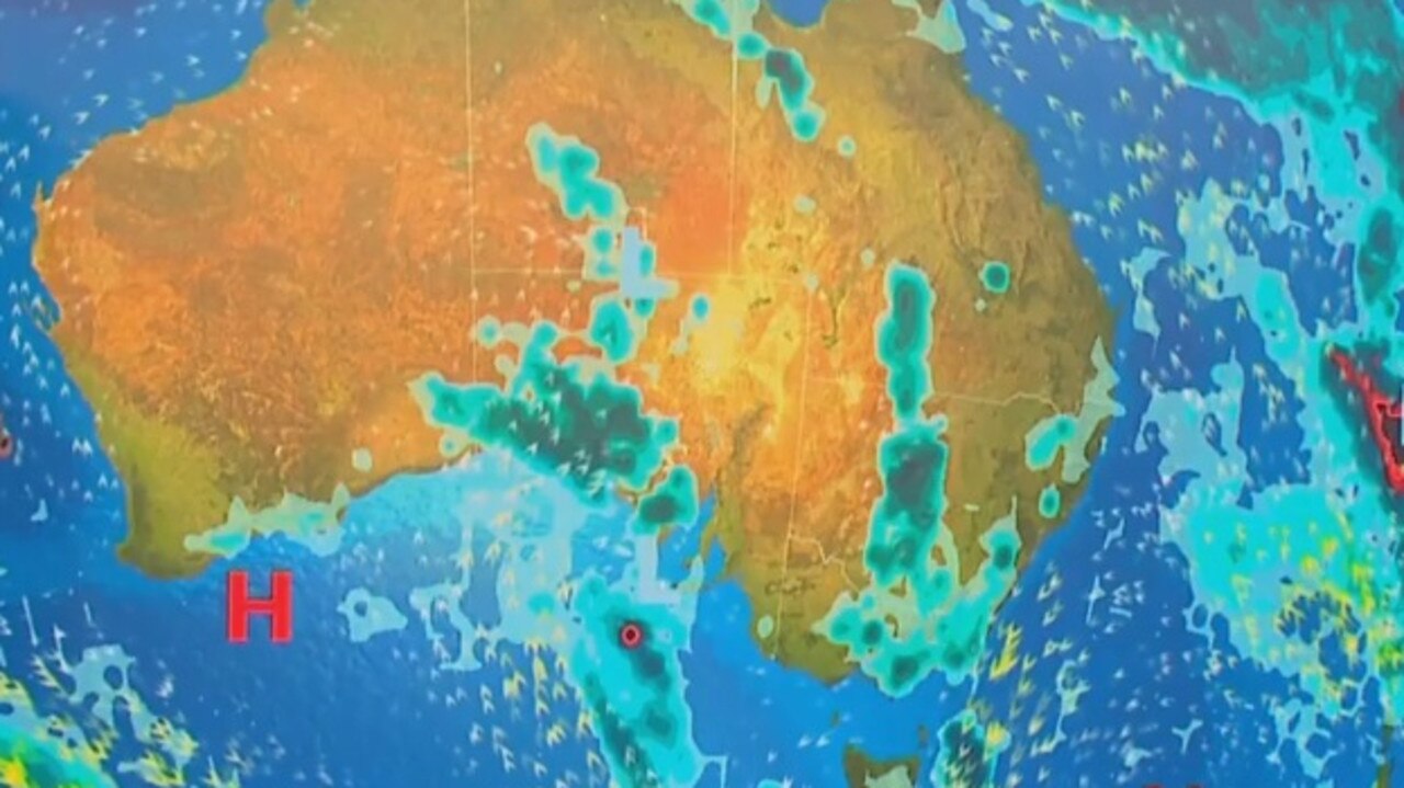
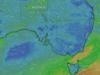
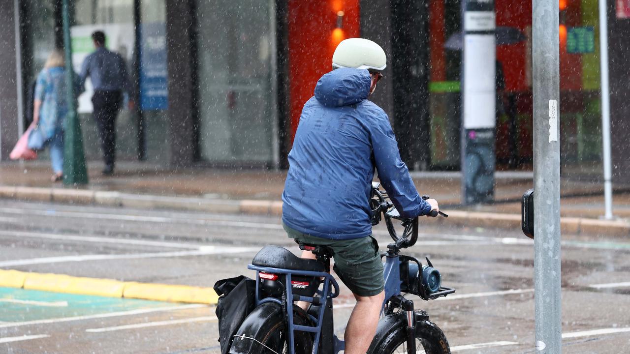
A polar blast is bringing chilly weather and snow to large parts of NSW, where flooding is continuing to threaten homes and livelihoods.
A cold air mass sitting over eastern Australia is delivering significant wind and chill for residents, with Sydney on Wednesday having its coldest November morning in 16 years.
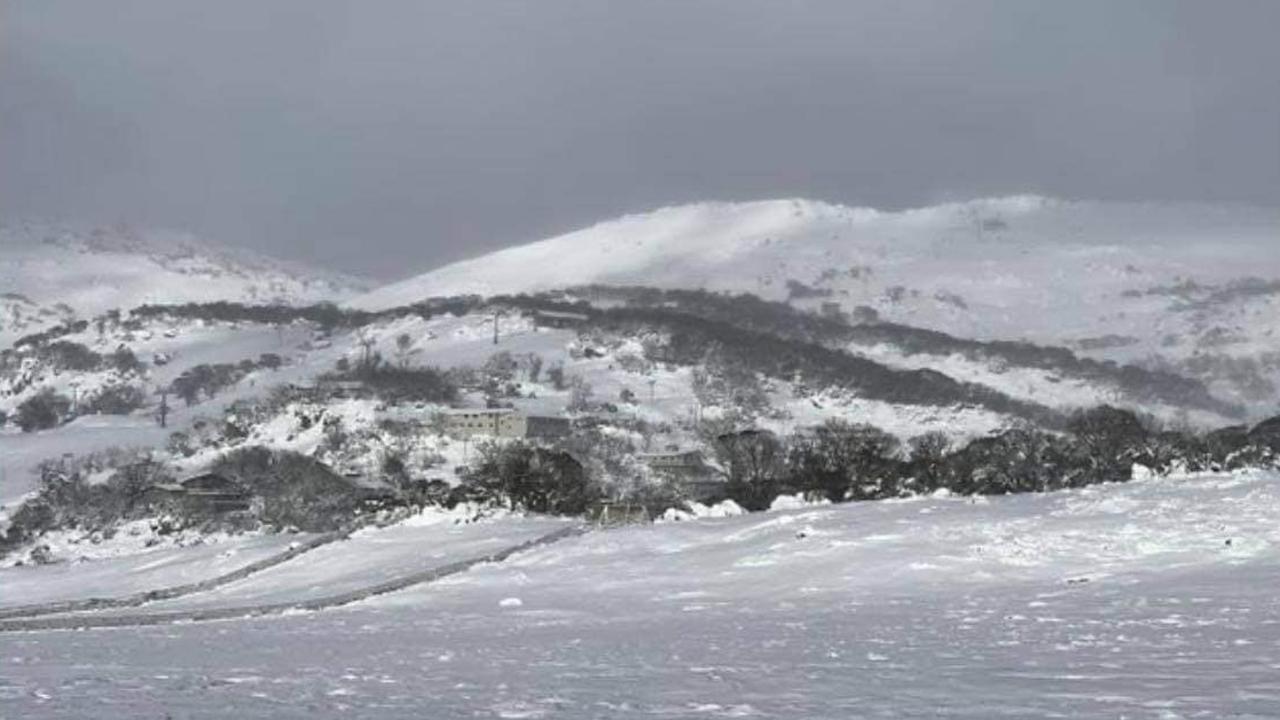
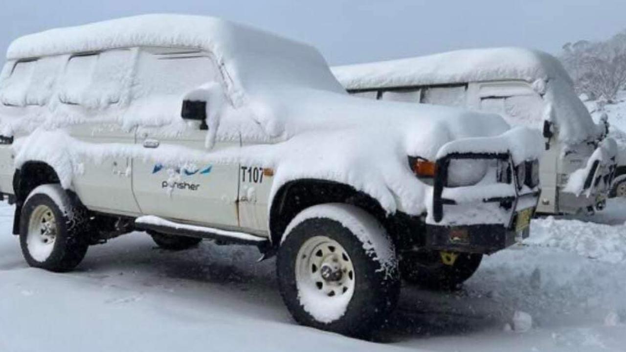
The system has been dubbed “snow-vember” with unseasonal snow falling on Thursday for its third consecutive day across towns in southeast NSW.
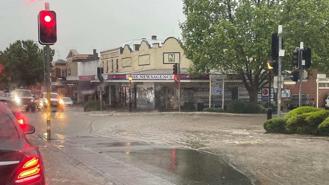
Meanwhile, emergency weather warnings have been issued for the NSW central western towns of Forbes and Gunnedah where the worst flooding on record is expected on Thursday and Friday.
Communities in the region have been isolated following the closure of Castlereagh Highway.
“We are yet to see the worst of this flood emergency,” Sky News meteorologist Alison Osborne said.
NSW SES has 107 current warnings across NSW:
— NSW SES (@NSWSES) November 2, 2022
22 Emergency Warnings
64 Watch and Act
21 Advice
See the interactive map and more information on all Emergency Warnings on our website: https://t.co/BCnxAdOSBj. pic.twitter.com/qKEyP5yPmP
The NSW State Emergency Service said it is preparing for dangerous “blue-sky” flooding.
“What we’re seeing in areas like Forbes is referred to as ‘blue-sky floods’,” Assistant Commissioner Nicole Hogan said.
“Even when the rain has stopped falling, water is continuing to move downstream through various catchments, creating issues with river rises and renewed flood peaks.”
Volunteers and partner agencies are preparing to door knock the community and is issuing reminders for residents to be prepared for record flooding.
A whopping 50 out of the 92 water storages in the Murray-Darling Basin are now full, with towns at risk of flooding including Goondiwindi, Coonamble, Forbes, Wagga Wagga and Swan Hill.
Flooding in Forbes .. This is the lake that runs thru town .. There IS a road between the two sections of lake here. #forbesfloods2022#Forbespic.twitter.com/5dBZ1yHTDY
— Ray RABS O'brien (@boars_r_us) November 2, 2022
The Lachlan River in Forbes is forecast to peak on Friday at 10.8 metres which will rival flood records set in 1952.
“This is an unfolding emergency that despite the calmer weather, really isn’t going anywhere anytime soon,” Osborne said.
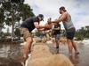
Locals have begun preparations for the impending disaster with sand bags seen stacked against low-lying doors and windows.
Trapped livestock will also reportedly be winched to higher ground via helicopters.
Wind, cold and grey for NSW
While the cold air mass across NSW is expected to move away throughout Thursday, temperatures are unlikely to warm up until Friday, Osborne said.
A large high pressure system is expected to bring onshore winds, grey skies and showers starting Friday and extending throughout the weekend.
Storms and showers are likely to hit southern NSW and eastern Victoria onwards from Friday and linger until late on Sunday.
Sydney will have a top of 21C on Thursday, with a chance of showers over the weekend and early next week.
Early indicators suggest shower and storm activity for inland NSW and northern Victoria for early next week.
Chill remains in Tasmania and Victoria
Temperatures across Tasmania and Victoria are expected to hover five to 10 degrees below the long-term average and stay in the mid to low teens.
By Sunday, temperatures will begin to warm up as the high pressure system moves into the Tasman Sea and anticlockwise winds around it interact with a low pressure system, dragging warm air towards the south.
Melbourne will have a cooler than average day Thursday with a top of just 15 degrees and a high chance of showers in the morning and afternoon.
Hobart will be cloudy and four degrees below average with a top of 16 on Thursday before a bit of sun on Friday and a chance of showers on the weekend.
Warmth for SA and the NT
South Australia will be the first to warm up on Saturday, with the warmth spreading north into the southeast over the weekend.
Shower and storm activity is expected to join a low pressure system spreading across South Australia and the Northern Territory for the weekend.
Adelaide will be party cloudy on Thursday and seven degrees below average with a top of 18, with dry and sunny conditions forecast for the remainder of the week.
Darwin will be mostly sunny Thursday with a top of 32 degrees, with the chance of a thunderstorm in the afternoon.
Sunny skies in Queensland
Less than 10mm has been forecast for the upcoming four days for southeast Queensland, while Brisbane is set for a top of 24 for Thursday before some showers over the weekend.
Chilly in ACT
Canberra is set for an icy low of four degrees on Thursday with a top of 17, before a chance of showers on Friday and throughout the weekend.
Western Australia
Fire warnings are likely across Western Australia with Perth on Thursday forecast to be six degrees above average at 32 degrees due to easterly moving winds.
The city will be mostly sunny with partial clouds for the rest of the week and into next week.
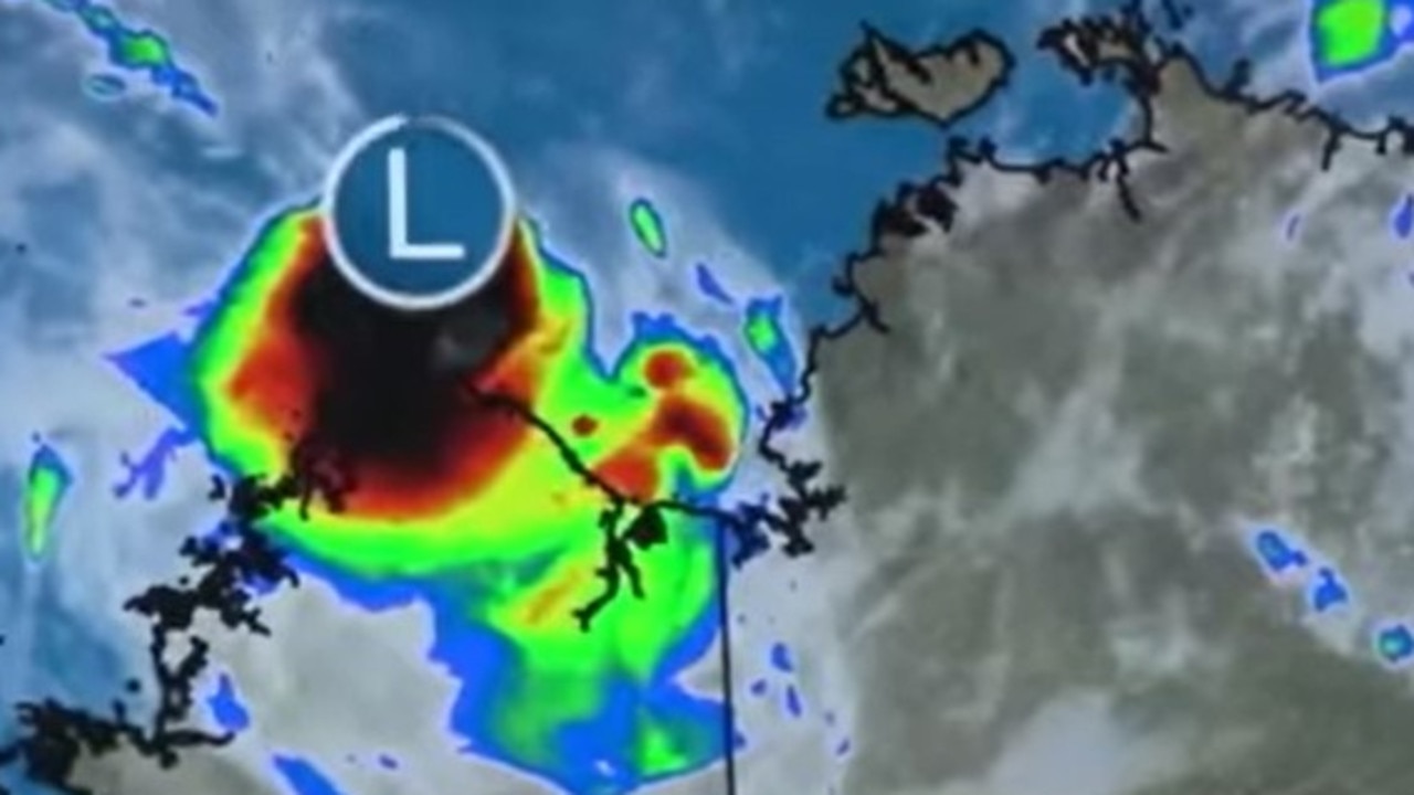
Warning as ‘fully fledged’ cyclone looms
Australians have been warned to brace for a “fully fledged tropical cyclone” just a month after ex-Tropical Cyclone Alfred made landfall.
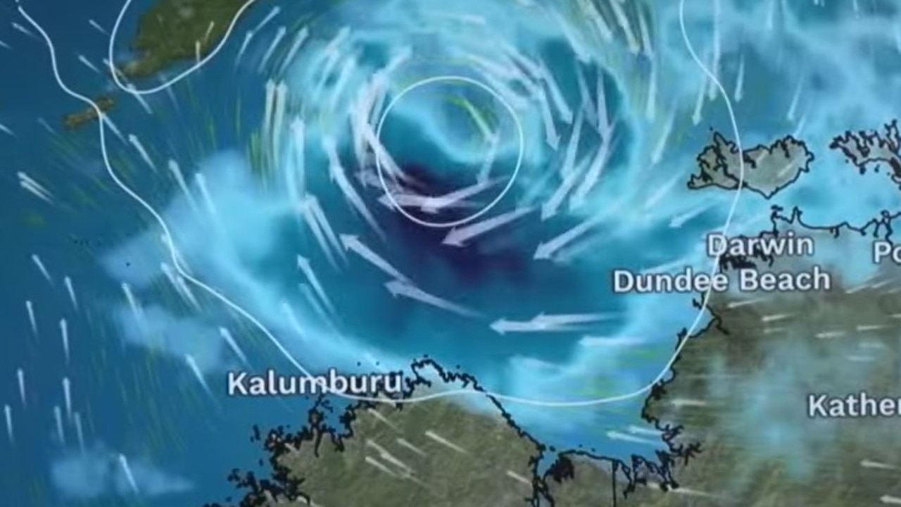
Warning as cyclone threat only ‘hours away’
Australians have been warned to “prepare now” as the threat of a tropical cyclone looms off the coast.
What to expect from Easter weather
Ahead of the much anticipated long weekend, Australians should pack the umbrella, as almost every state is expecting rainfall.