
NSW hit by “unusual” one-in-20 year weather event as snow falls across the state
Shocking amounts of snow have been recorded a month into spring as an unseasonable polar blast smashes the state.

Spring has been put on pause as snow falls across New South Wales in a once-in-20-year weather event that sparked Sydney’s coldest November morning in 16 years.
“Snow this far into spring is pretty unusual, it‘s definitely the coldest it’s been since July or August,” Weatherzone spokesperson Felix Levesque said.
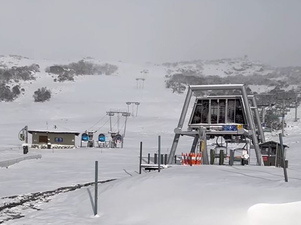
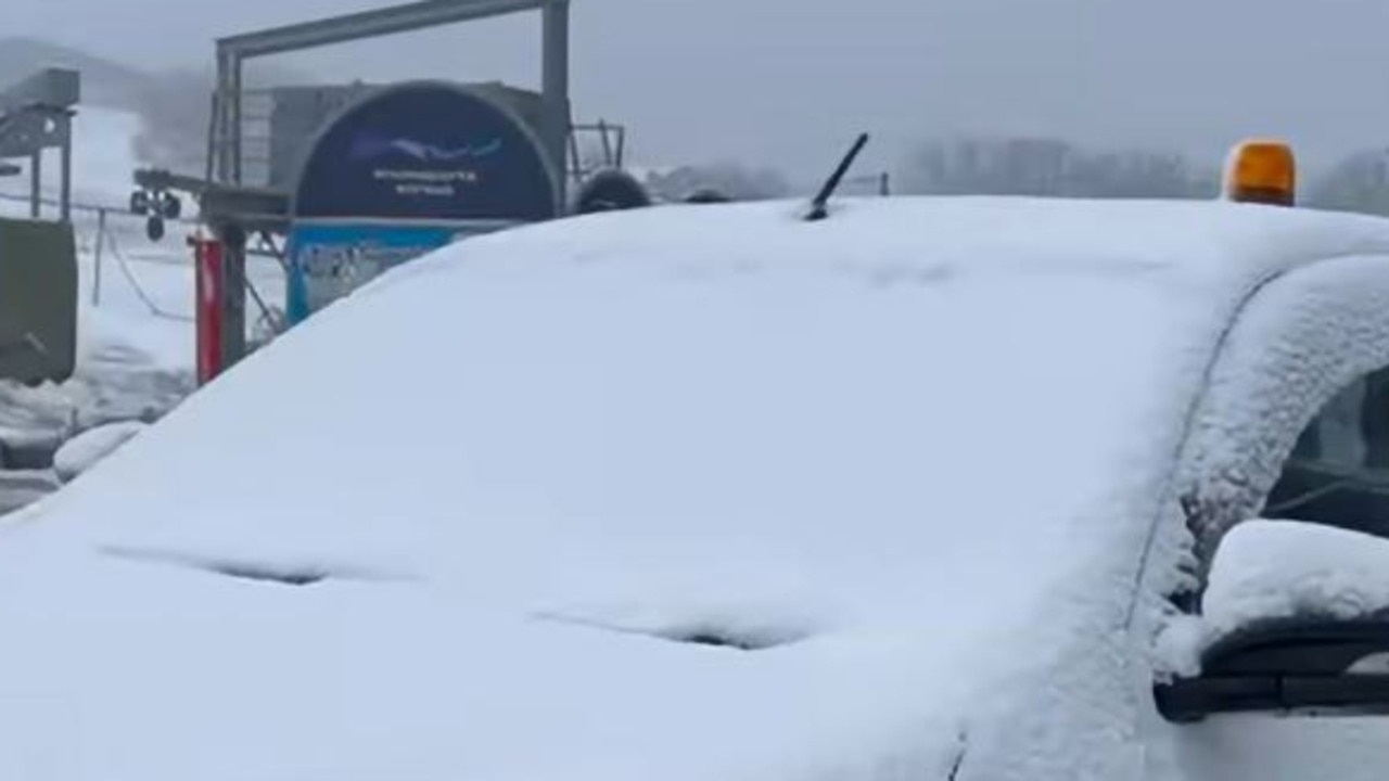
The NSW alps received a “healthy amount” of snowfall, with up to 60cm falling across some of its regions on Tuesday night according to Weatherzone.
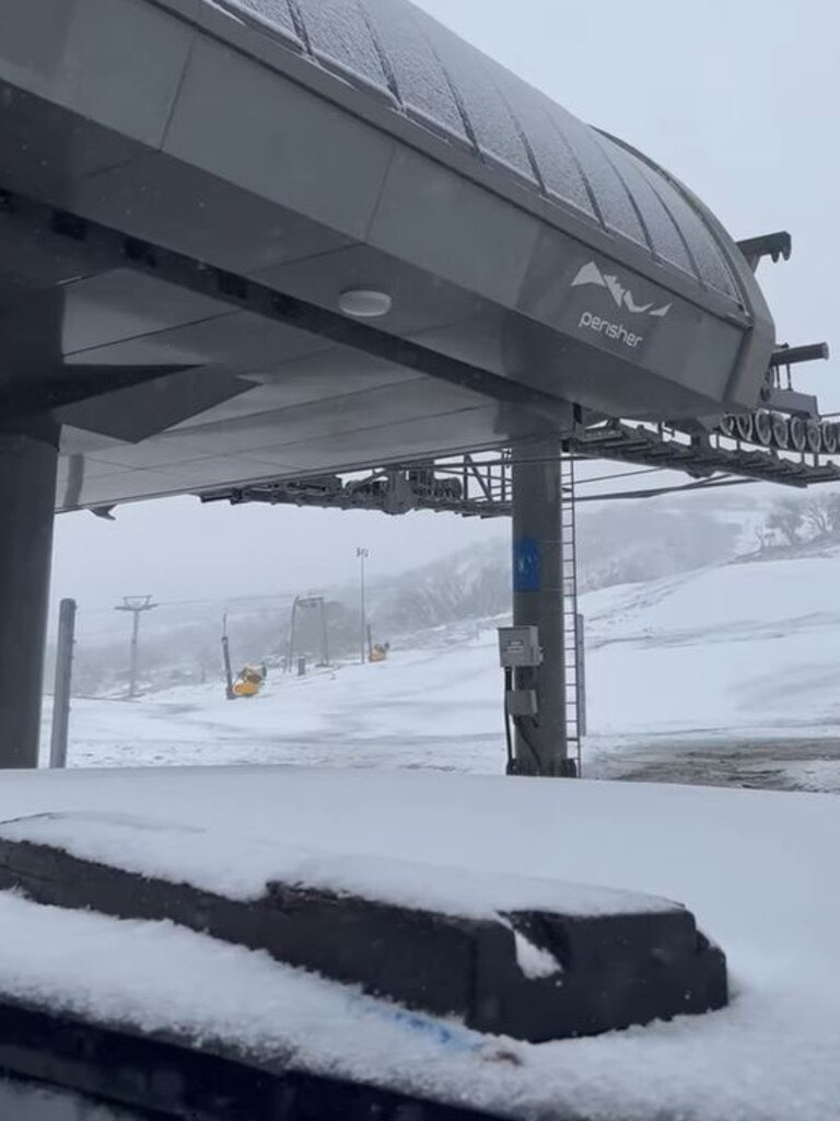
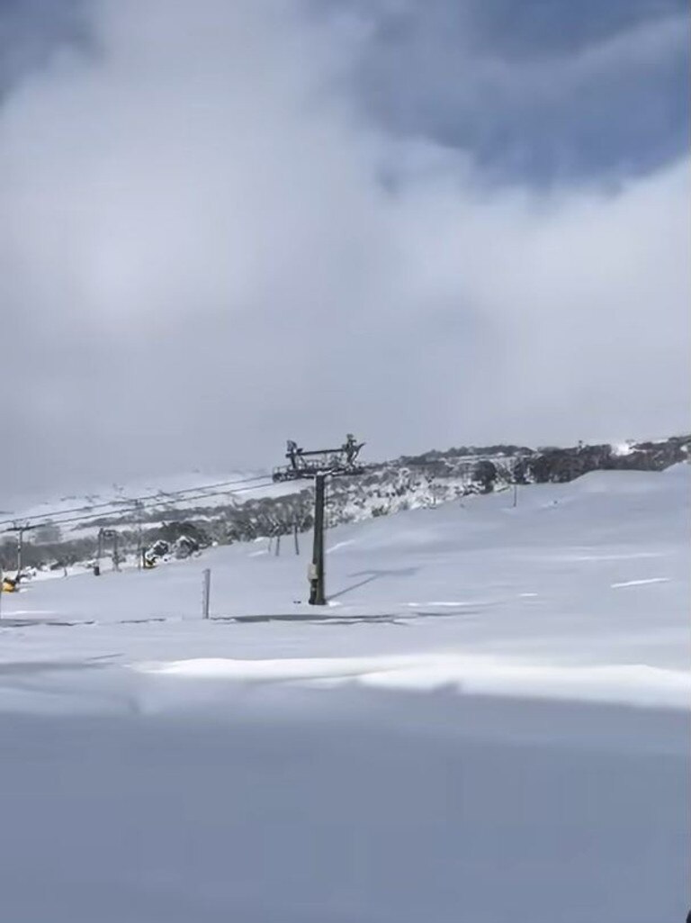
Perisher’s snowfields were blanketed by white powder as 35cm fell, leaving some to question whether the resort should open its lifts.
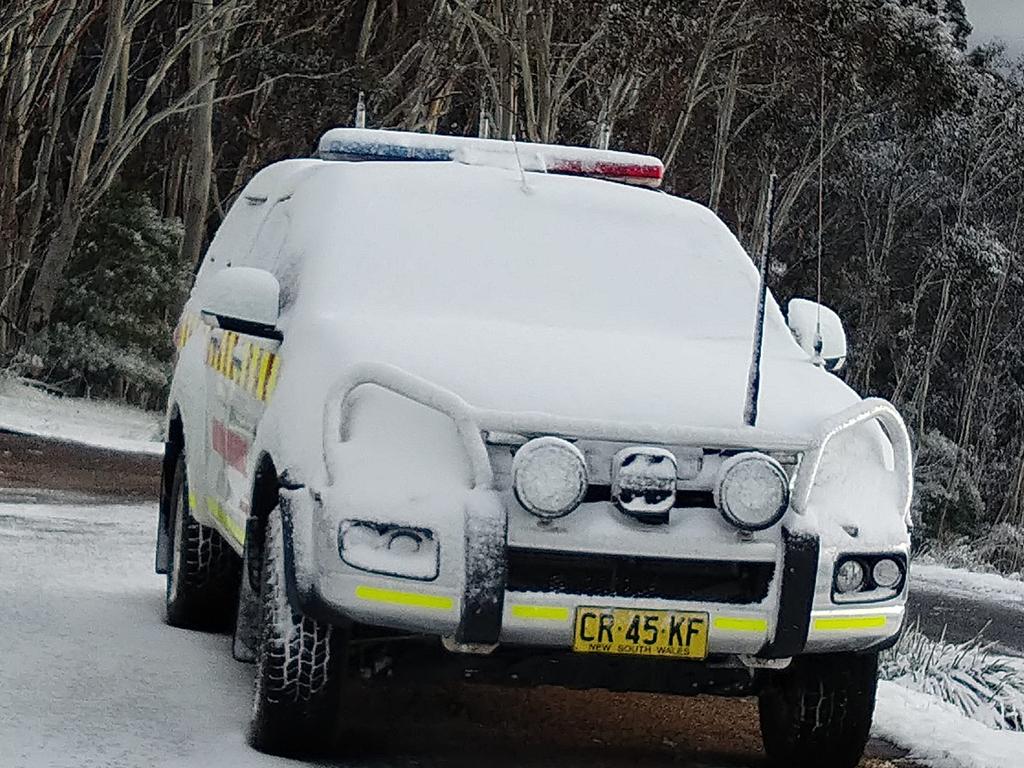
Sydney also shivered through its coldest November morning in 16 years on Wednesday, with a low of 11.1 degrees recorded on the coast, six degrees colder than the average temperature for the month.
The freezing temperatures were worse inland, 16 degrees colder than average for November, with the maximum temperature in Thredbo not exceeding -2 degrees after getting down to -6 degrees overnight.
“Orange only got to six degrees, Armidale was nine degrees, and it was only 11 degrees in Cooma, that‘s pretty freezing for November,” BOM senior meteorologist Dean Narramore said.
A polar blast of freezing air from Antarctica is behind the snap snowfall and chilly temperatures.
“A cold front swept through on Tuesday and behind it has dragged up cold south to south-westerly winds,” Mr Narramore said.
The most unusual part of the spring snowfall according to Mr Narramore was the dusting of snow across Bathurst, Lithgow, Oberon and the Southern Tablelands that continued across Wednesday.
“These conditions are more typical of July than November,” he said.
The frosty weather is expected to continue for the rest of the week after reaching its coldest point on Wednesday, with a second cold front sweeping through.
“A secondary through is about to cross into Victoria and South Australia, bringing a renewed cool period and lingering cold days for Wednesday and Thursday, but by Friday and the weekend we should see conditions clearing,” Mr Levesque said.
“Thursday will be more like five to ten degrees below average, compared to the colder weather we‘ve seen, and it’ll be similar on Friday,” Mr Narramore said.
Sydney’s east is expecting a low of 10 degrees overnight meanwhile the western suburbs will wake up to a frosty eight-degree morning warming up to 20 degrees.
Typical November temperatures in the western suburbs are a 15-degree minimum and a 27.5 maximum, meaning that temperatures are expected to be “significantly cooler” than normal, according to the BOM.
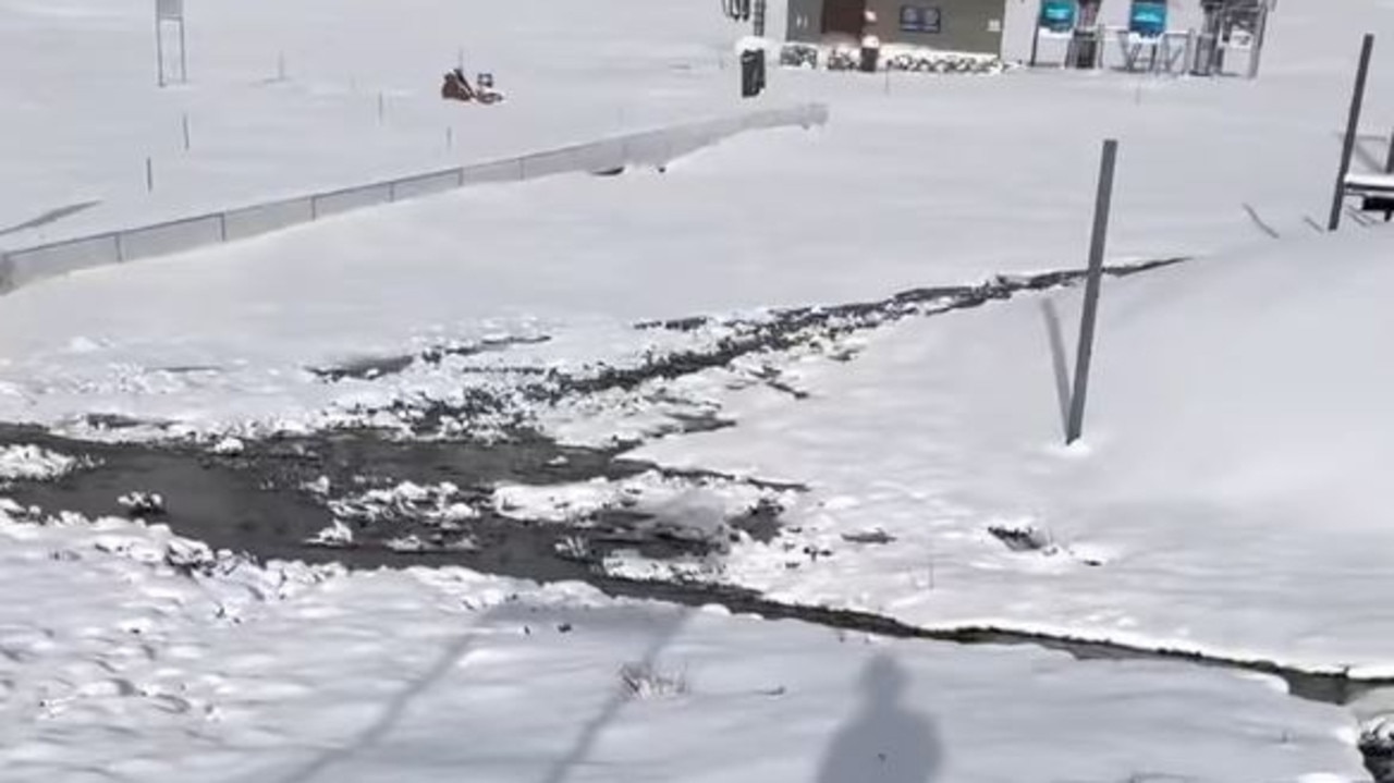
Alongside the freezing temperatures, the BOM also warned that major flooding is expected at the Lachlan River over the coming days.
“It could get as bad as the major flooding event of 1952 on Friday,” Mr Narramore said.
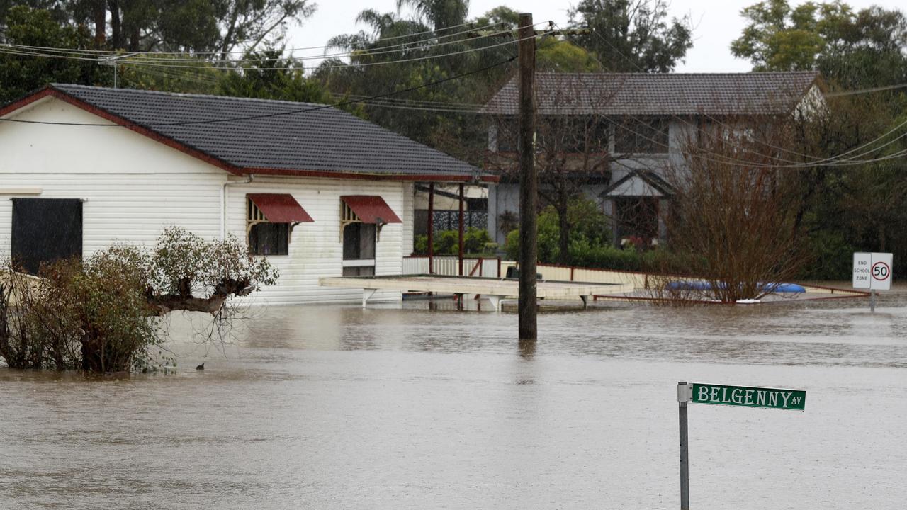
Rainfall from the past week has caused the “renewed and prolonged” flooding along the river, combined with spills from the Wyangala Dam and inflows from the Boorowa River.
River levels were just below the major flood level on Wednesday night, sitting at 13.25m.
There have been 664 requests for assistance responded to by the NSW SES in the past 24-hours, including 29 flood rescues.
Cowra, Forbes, Nanami, Hillston and Jemalong are among the areas to be most affected.

Major overhaul flagged for Aussie childcare
The Federal Government is vowing “action” to overhaul Australia’s beleaguered childcare system following allegations of abuse at a Melbourne childcare centre.
Read more

Girl, 7, struck and killed by falling tree
A young girl has died after being struck by a falling palm tree while playing in a yard in the Northern Territory.
Read more

Chaos as hoons take over iconic Melb strip
Chaotic scenes have emerged after hundreds of reckless drivers swarmed an iconic Melbourne strip, prompting a major police presence and road closures.
Read more