Wet spring and summer on the way as chance of new La Niña triples
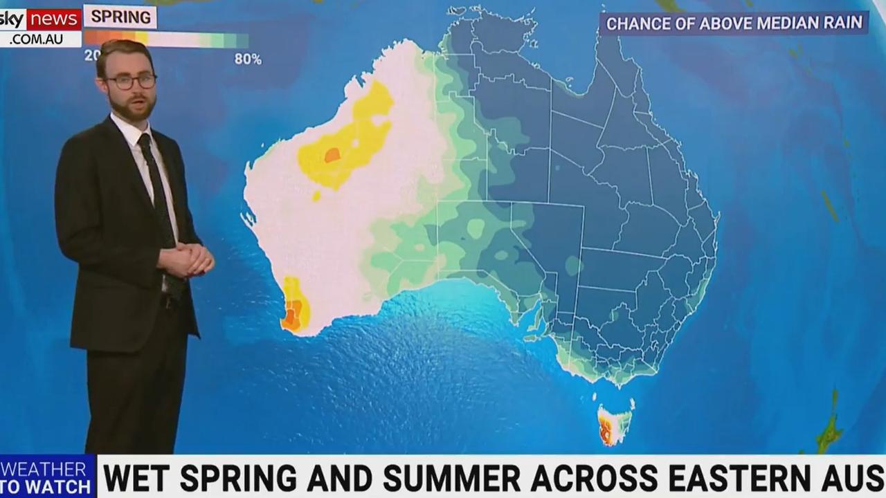
Most of Australia is in for a wet spring and summer with a map showing what parts of the country have a greater chance of extra rain.
The likelihood of La Niña returning this spring is three times the normal risk, meaning there is a high chance of above average rainfall for most of the eastern two-thirds of Australia and increased risk of flooding.
The Bureau of Meteorology (BOM) has moved from “La Niña Watch” to a “La Niña Alert”.
In the past, once this alert has been issued, a La Niña event has developed about 70 per cent.
“The Bureau is advising of very high chances of wet conditions over eastern Australia for the next three months,” a BOM statement said. “Should a La Niña event be established in the Pacific Ocean, the wet conditions will persist into summer.”

BOM senior meteorologist Jonathan How said it was important Australians, especially in areas already hit by intense rain, watched for weather warnings.
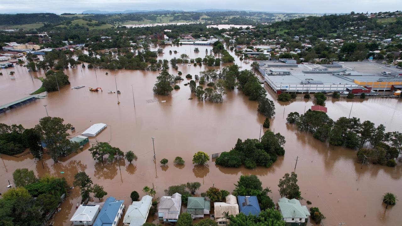
“As many Australians in the east of the country know, soils are wet, rivers are high and the dams are full and with this outlook of above average rainfall coming, there is an elevated risk of flooding across the east of the country,” he said.

As reflected on the map above, Sky Weather meteorologist Rob Sharpe explained areas on the map shaded in the darkest blue had a greater than 80 per cent chance of above median rainfall this spring.
The white indicated average rainfall was expected and the orange and red showed it was likely to be drier than usual.
“Looking further ahead into summer, the odds aren’t quite as strong as you can see in this map but still wetter than usual weather is likely across much of the east of the country with a higher than usual flood risk,” he said.
What is La Niña?
If a new La Niña develops as predicted, it will be the third consecutive event, which is relatively rare.
BOM declared that the latest La Niña ended in June. It outlasted its welcome by months. In November, when La Niña became “established”, BOM predicted it would be “short-lived” and would end in late summer or early autumn.

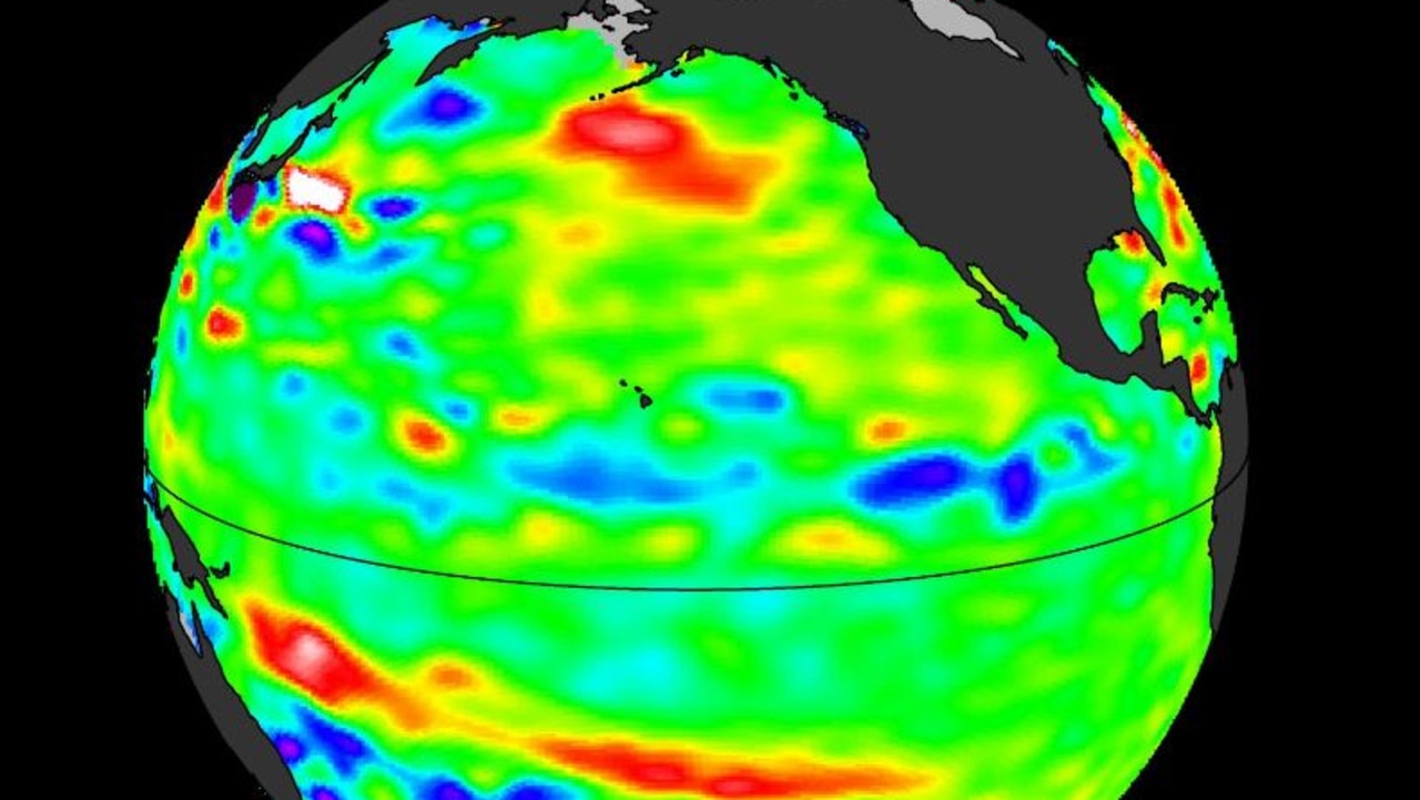
La Niña refers to changes in sea surface temperatures in the tropical Pacific Ocean, with waters in the eastern Pacific being cooler than normal, and waters in the western tropical Pacific being warmer than normal.
Trade winds strengthen, increasing the water moisture in the air, which usually brings rainfall to eastern and central Australia.
Two major weather events could clash
Earlier this month, another weather phenomenon called a negative Indian Ocean Dipole (IOD) was declared for the second consecutive year – the first time that has happened since the 1960s.
A negative IOD typically results in above-average rainfall, just like La Niña in Australia.
These events last coincided in 2010 – another year of record flooding for South East Queensland.
“Last year, we had a pretty weak negative Indian Ocean Dipole and La Niña. This time, the negative IOD is actually much stronger, so we’re in pretty rare territory,” Sky Weather chief meteorologist Tom Saunders said last week.

Queensland Premier Annastacia Palaszczuk put her state on notice during a press conference on Monday.
“We’ve got a heads up now so early in the cycle that we can do everything we can to prepare,” Ms Palaszczuk said.
“I don’t want Queenslanders to get alarmed, but what we do want to see is people to be prepared.”
Ms Palaszczuk said she had been in contact with local mayors to discuss their preparations since the last major flooding event in South East Queensland.
Residents of low-lying areas are being urged to start preparing their evacuation plans if they do not already have one in place.


