Two coasts hit by flooding rains as experts warn of wet six months ahead
Two states are being smashed with heavy rains as weather experts warn of a once in a decade event set to bring months of flooding to the east coast.
Australians have been put on notice to prepare for another season of drenching rains and potential flooding, as two major weather events are set to clash over the country.
Bureau meteorologist Laura Boekel has warned of a wetter-than-average spring and summer this year, with heavy rainfall expected as early as this month.
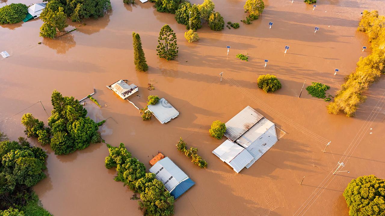
Following a very wet winter, soils in Queensland and NSW haven't yet had a chance to dry out, bringing an increased risk of flooding to the region.
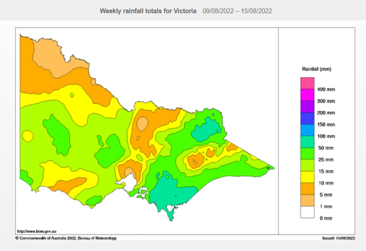
It comes as large parts of south Gippsland in Victoria received between 50mm and 100mm of rain last week, according to WeatherZone.

A moderate flood warning remains in place for the La Trobe River, and several minor flood warnings are also in effect for other creeks and waterways.
On the west coast, heavy rain and thunderstorms continue to sweep over southern WA, bringing flooding to some areas.
Widespread rain is forecast to extend inland towards the Central Wheat Belt and southern Goldfields Districts throughout the day.
It will then continue to move south and east, affecting parts of the inland Gascoyne, Goldfields and western Eucla Districts.
The rainband will then start to break down on Wednesday as it gets further away from the Indian Ocean.
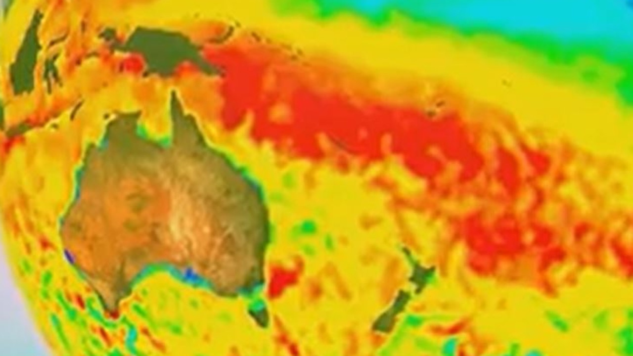
The two climate drivers responsible for the deluge of rain are a negative Indian Ocean Dipole (IOD) combined with a rare triple La Nina event.
A negative IOD typically results in above-average rainfall, just like La Nina in Australia.

“All of the indicators from the Pacific Ocean are currently in the La Nina phase,” Sky News chief meteorologist Tom Saunders forecast last week.
The Bureau of Meteorology is expected to shift from a La Nina watch to a La Nina alert as early as this week.
“It’s the sea surface temperatures, it’s the subsurface temperatures, the cloud cover, the strength of the trade winds, upper-level westerly winds, pressure pattern … that’s the first piece of the puzzle,” Mr Saunders said.
“The other one is the Indian Ocean (which) is in a negative Indian Ocean Dipole phase.”
These events last coincided in 2010 – another year of record flooding for South East Queensland.
“Last year, we had a pretty weak negative Indian Ocean Dipole and La Nina. This time, the negative IOD is actually much stronger, so we’re in pretty rare territory,” Mr Saunders said.

Queensland Premier Annastacia Palaszczuk put her state on notice during a press conference on Monday.
“We’ve got a heads up now so early in the cycle that we can do everything we can to prepare,” Ms Palaszczuk said.
“I don’t want Queenslanders to get alarmed, but what we do want to see is people to be prepared.”
Ms Palaszczuk said she had been in contact with local mayors to discuss their preparations since the last major flooding event in South East Queensland.
Residents of low-lying areas are being urged to start preparing their evacuation plans if they do not already have one in place.


