
Snow in NSW, Qld: BOM weather forecast for freezing temperatures
Snow has blanketed parts of Australia east in a “rare, remarkable” weather event which one image has revealed was up to half a metre deep.
Forecasters have said the snow across New South Wales and parts of Victoria is a “significant event” not seen for 16 years.
It was Sydney’s coldest day for 37 years today while Cessnock’s 8.8C was the coldest day in half a century of records.
Bureau of Meteorology meteorologist Gabrielle Woodhouse told news.com.au that snow had reached to far northern parts of New South Wales while on the ski resorts in the far south as much as half a metre of snow had descended in the last 24 hours.
“We don’t often see really widespread snowfall across the NSW ranges all the way up to the Queensland border, And likewise, we don’t see snow falling down to such low levels so it is quite significant,” she said on Thursday afternoon.
Sky News Weather meteorologist Alison Osborne said the snow in NSW’s New England region was “rare and remarkable”.
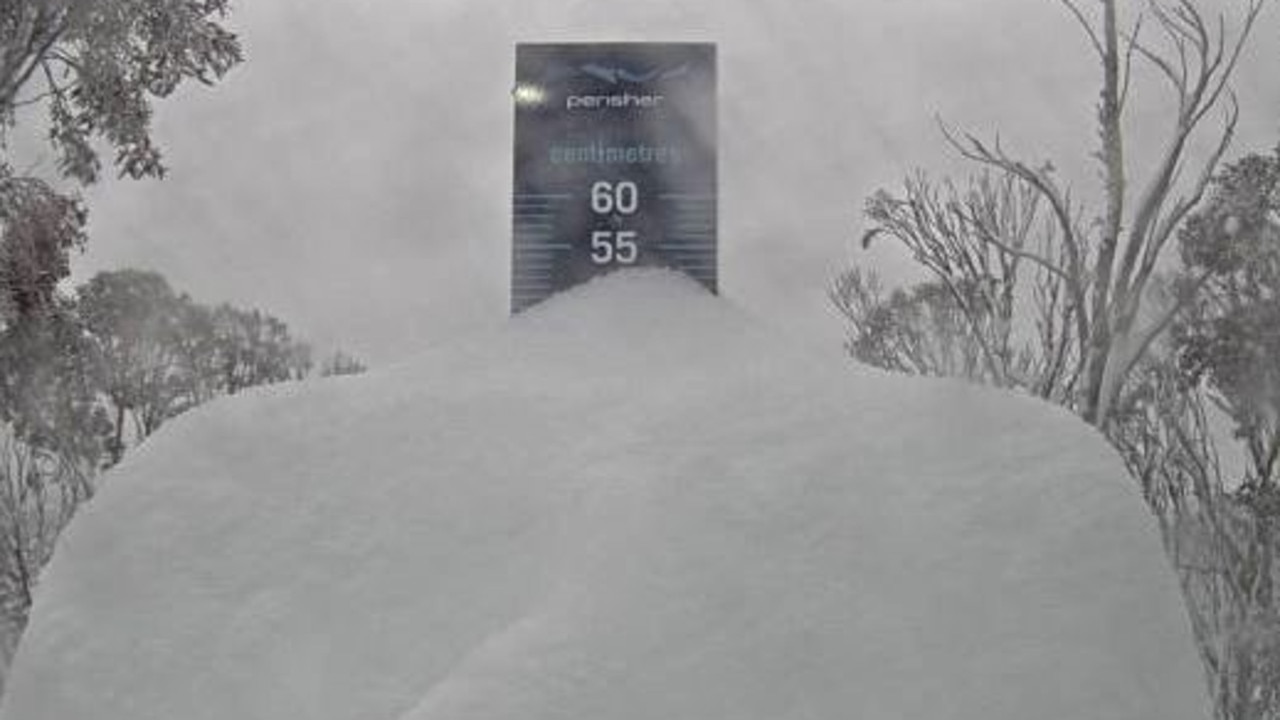
A striking image from the Perisher resort shows how deep the snow was.
At just before 9am this morning a “snow cam” fixed on Perisher’s snow gauge showed more than 50mm of powder had landed in the last 24 hours.
Much of that had fallen since noon on Wednesday with a healthy top up in the wee hours.
Every morning the gauge is cleared so it can be reset.
Temperatures across the state have plummeted with Sydney peaking at just 10.3C on Thursday, the coldest day since 1984.
“Today, it’s going to be significantly cold across the state so temperatures are generally going to be at least 10 degrees below average and quite a few places will approach or exceed the lowest maximums temperature record,” the BOM’s Ms Woodhouse said.
The snow was likely to continue today on higher ground and will replaced by fierce winds on Friday.
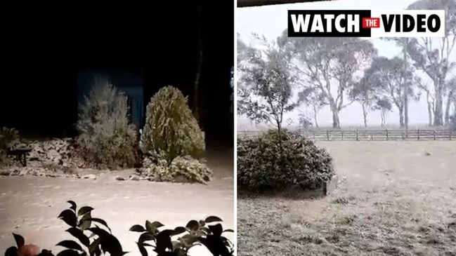
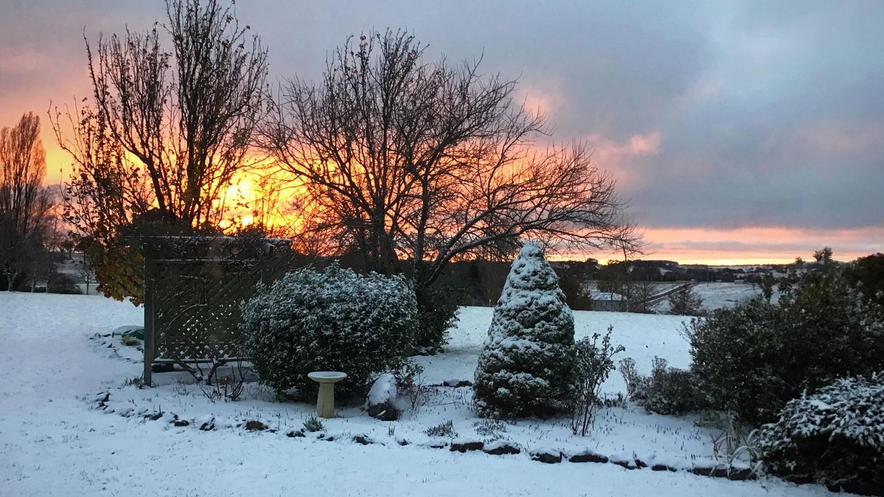
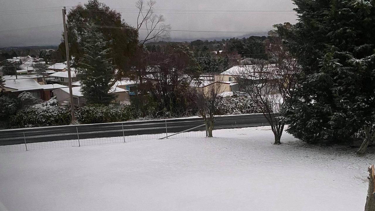
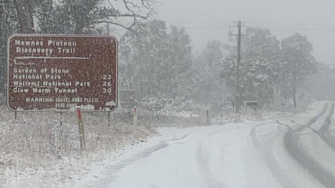
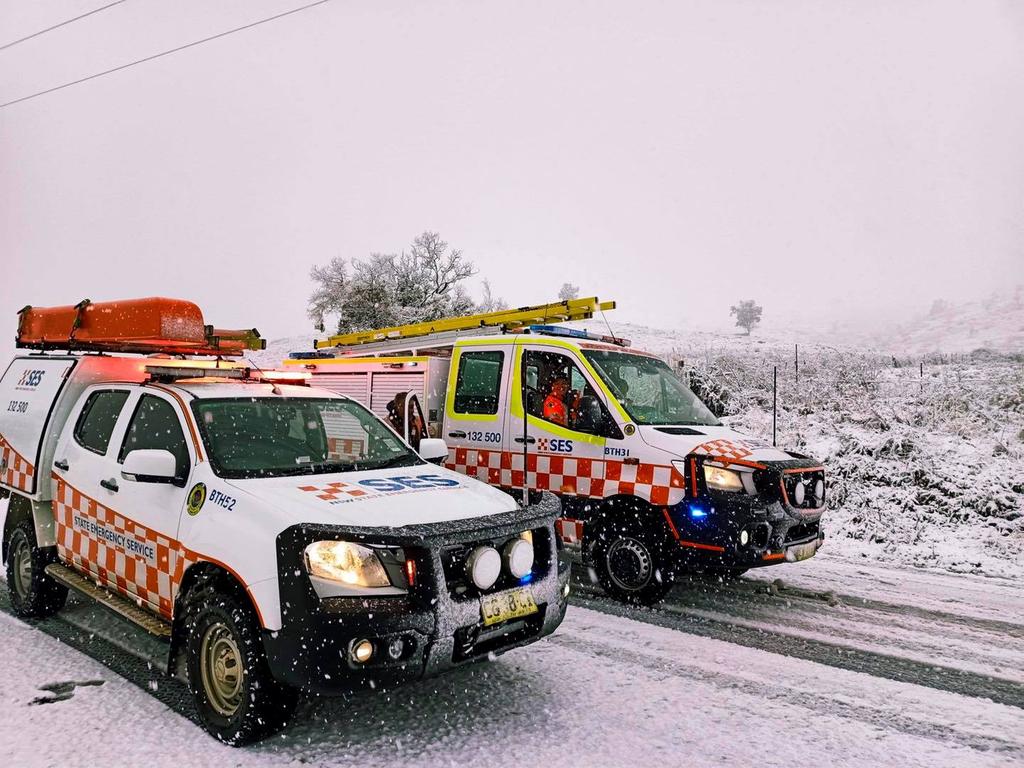
Pictures have streamed in from across NSW of the winter wonderland conditions.
RELATED: Sydney’s coldest day for 25 years as major winter storm grips
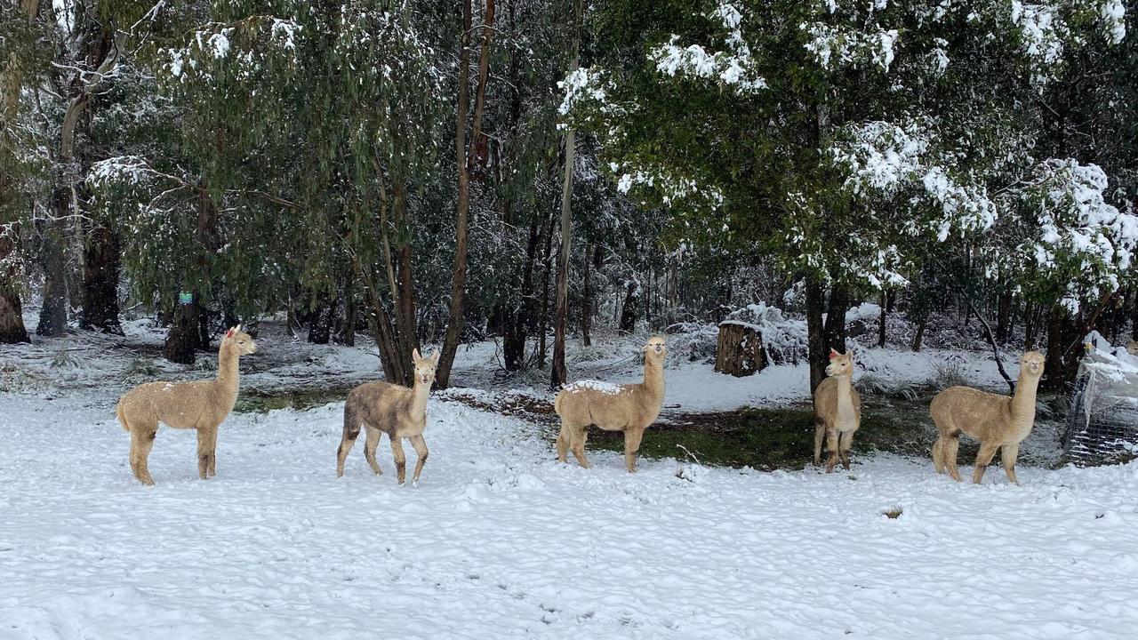
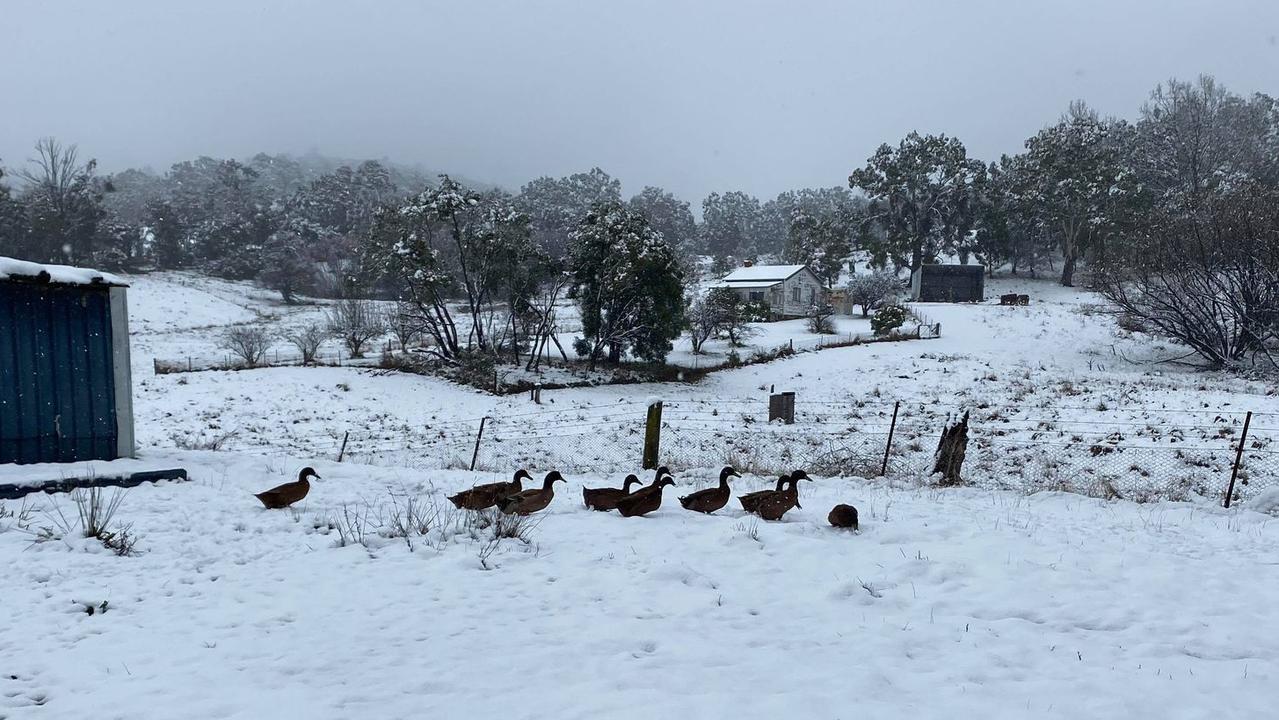
The alpacas love the snow, the chooks don’t
Robert Atcheson who lives in Yetholme, just east of Bathurst in NSW’s central west, said around 10cms of snow had fallen on his property on Thursday morning.
“Compared to previous years the snow has come much sooner,” he told news.com.au.
“We normally get a light dusting in May and the heavy stuff comes in August.”
Mr Atcheson, who keeps a herd of alpacas on his farm, said the animals loved it.
“Alpacas are made for this weather. Summer is the season they hate. My ducks love the snow but my chook said no and went back inside”.
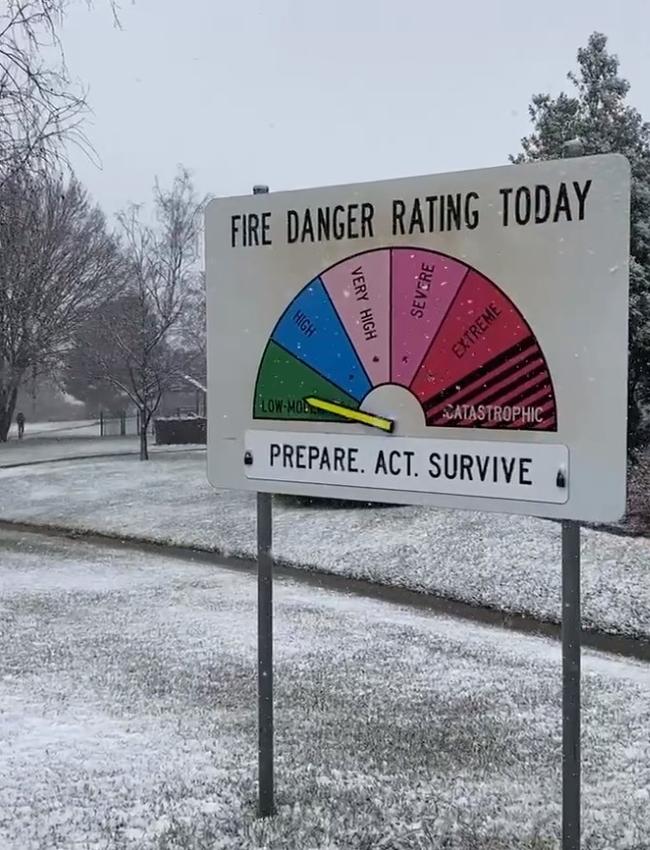
The cold snap is due to a pool of cold air direct from Antarctica.
The Bureau has warned that temperatures could plunge 10 degrees below average over the next day or so.
Up to 20mm of snow could fall over areas that may only get a dusting once every few years.

“This major winter storm will intensify across southeast Australia during Wednesday,” Sky News Weather senior meteorologist Tom Saunders said.
“New South Wales will be the centre of this winter storm in terms of the snowfall over the next couple of days.”
Mr Saunders said today should be the coldest day in decades for central and northern regions.

Good morning from sunny Guyra! 🤙 pic.twitter.com/gfe8l6Up30
— Tim Stevens (@stevenst) June 9, 2021
UPDATED: New England Hwy is closed in both directions btwn Glen Legh Rd at Glen Innes and Guyra due to ice and poor visibility affecting road conditions. Delay your trip or use Waterfall Way, Pacific Hwy & Gwydir Hwy instead. Allow plenty of extra travel time
— Live Traffic NSW (@LiveTrafficNSW) June 9, 2021
Glorious pics of morning snow in Orange via @richmockler's Mum Susan pic.twitter.com/B3dbt4Et4o
— Stephen Smiley (@StephenSmiley) June 9, 2021
Bathurst


Orange
Oberon
Today’s forecast in chilly eastern Australia
Sydney could reach just 11C today and it might only get to 10C in Penrith, in the city’s west. That would see Sydney shiver through its coldest day for 25 years. Sydney will be wet on Thursday with up to 15mm of rain with more showers on Friday.
The mercury is forecast to reach 17C on Thursday, and 19C the day after with lows of 7C.
For other areas of NSW, snow and ice may lead to dangerous driving conditions.
Inverell, in northern NSW, could top out at just 6C on Thursday. Tamworth may peak at 7C – it hasn’t been that cold since 1998. Armidale could see up to 20cms of snow on a 5C Thursday.
Further south, more snow is likely for Orange, Oberon and the Blue Mountains.
Orange is forecast to reach just 4C today with a low of -1C at dawn. Tomorrow should reach an almost balmy 7C leading to rain. In Katoomba, 4C will be the high today.
At the ski resorts it’s going to be a bumper start to the snow season with up to 60cms across the Alps. Some of that snow could come in blizzards. Perisher should see 20-40mm of snow up until Saturday with -2C lows at dawn; south of the border Mt Buller is looking at around 25mm of snowfall.
Rain for Canberra with showers until Friday. A high of 10C on Thursday and between 11-13C heading into the weekend. Lows nearing zero.
Send photos and video through to benedict.brook@news.com.au.
Join the conversation

Reason housing crisis could get worse
Australians are already facing a shortfall of more than 640,000 affordable homes. There’s one reason that might get even worse.
Read more

Severe frost alert for Aussie farmers
Farmers are being urged to keep their livestock warm as a freezing start to winter puts animals at risk.
Read more

Aussie-first hydrogen servo opens
Australia’s first publicly accessible hydrogen service station has opened, in a huge move towards decarbonising commercial vehicles.
Read more