
‘Records will be broken’: Huge weather event nears
Just what we all need – as we head into spring, a rain and storm event that will cover 90 per cent of the country is bubbling up.


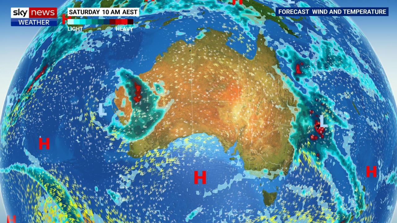
Forecasters are warning of a “substantial” rain event which will cover almost the entire country and that “records will be broken”.
For the next few days it will be chillier and very soggy in places. But that could just be a taster of what’s in store later next week.
Almost 90 per cent of the country may see wet weather with only northern Australia spared, said Sky News Weather meteorologist Rob Sharpe.
“Spring is now under way and it’s looking pretty wet especially over the next couple of weeks compared to what we typically see at this time of the year,” he said.
“Records will be broken in multiple locations.”
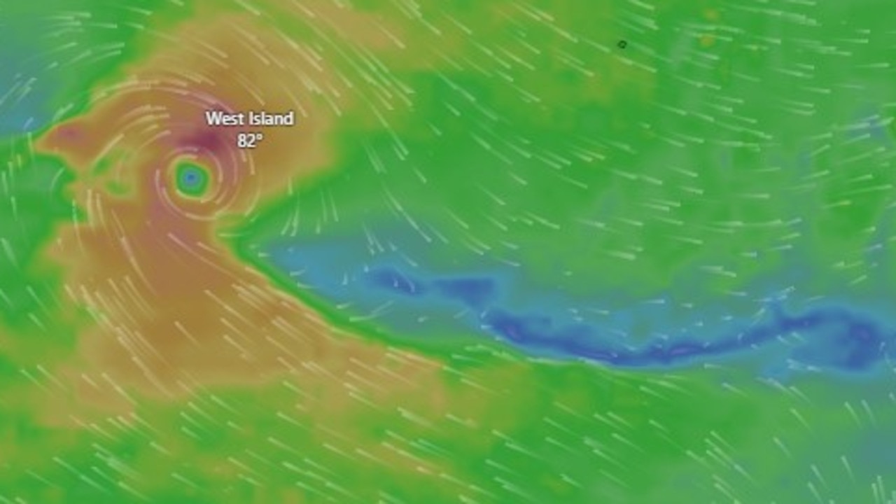
Early next week that rain will start bubbling up over south west Western Australia, north of Perth.
The big blob of slow moving moisture then starts inching its ways eastwards
“The rain and storm event will slowly slide out and across the country,” said Mr Sharpe.
“All the forecast models show (a rain system) coming out and across virtually all of Australia through the next week with the potential for some significant rainfall especially for the Murray Darling system.”
Stream more weather news live & on demand with Flash. 25+ news channels in 1 place. New to Flash? Try 1 month free. Offer ends 31 October, 2022 >
Falls of more than 50mm are particularly likely around the coast of New South Wales.
Starting in Perth, the city may actually escape much of the moisture. There will be some rain on the weekend and up to 10mm on Monday. Wetter further south with Albany looking at up to 25mm across Monday and Tuesday.
For Adelaide and a dry and mild weekend in store but the rain is due to start up on Wednesday and up to 10mm on Thursday of next week.
A few showers over the weekend for Melbourne and then a breather. But it’s due to see some heavy downpours later next week. It’s a similar story, of a few weekend showers and then mostly dry, for Hobart before the rain system is forecast to come through later.
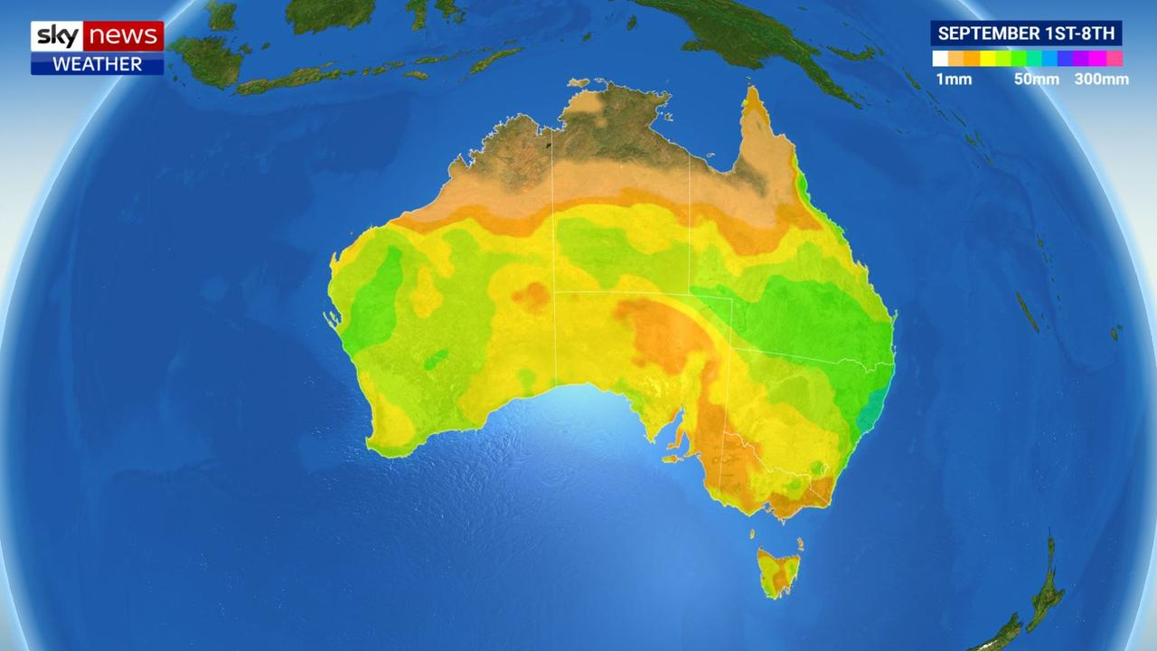
In Canberra, those heavier showers should come through for Thursday of next week.
Sydney could well be non-stop sogginess for the next week as a low pressure system parks itself over the east.
Sunday could see 8-15mm with a further 8mm possible on Monday. It then just keeps going and could crank up further towards the end of next week.
Extremely heavy falls on the NSW mid north coast this weekend. Persistent rain in Port Macquarie with 70-100mm over Saturday and Sunday and further falls as next week progresses.
Friday could see 10-20mm fall on Brisbane, then 15-30mm on Sunday. Skies will clear but rain looks set to return within days.
Darwin will be hot and dry with little in the way of rain for the Top End.
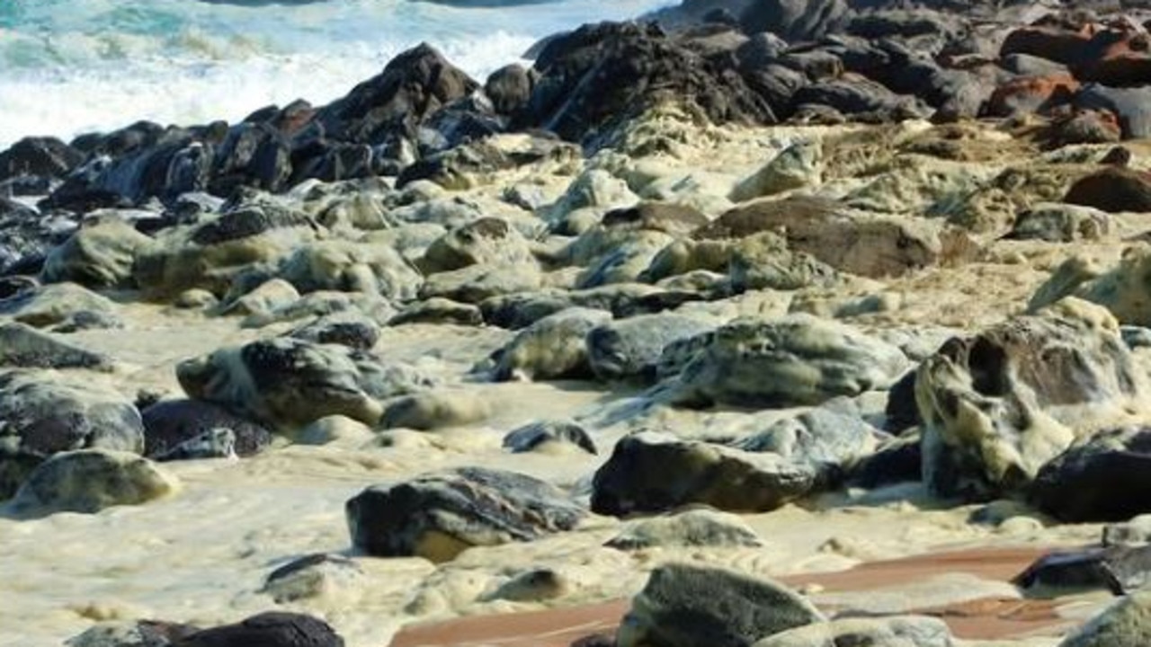
Shock scenes at iconic Aussie beach
Shocking scenes have unfolded at an iconic Aussie beach, with swimmers reporting feeling sick and marine life dying after toxic foam washed ashore.
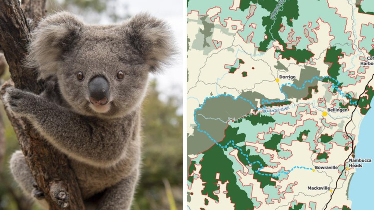
Shock support for controversial koala park
A controversial project that could transform swathes of one Australian state forever has “overwhelming support”, new polling has revealed.
Australia on verge of unwanted milestone
Aussies could experience the most cyclones in nearly two decades, with a new tropical low expected to develop into cyclone intensity.