
Forecast winter blast to mark the start of spring
It may be spring but as far as the temperatures are concerned it’s back into winter with a spate of chilly and soggy days ahead.


Spring may have sprung – but the memo hasn’t reached the weather gods.
“With those southerly winds it’s going to be a fair bit colder,” Sky News Weather meteorologist Rob Sharpe said.
“The first day of spring is more like winter in the southeast, with another pulse of cold air coming through on Saturday too.”
On Friday and into the weekend, Melbourne and Hobart won’t creep much above 13C at the warmest part of the day. Brisbane will actually be hotter than that during the coldest part of the night.
In Canberra the mercury will sink below freezing on Saturday.
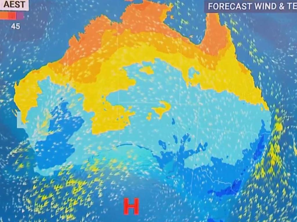
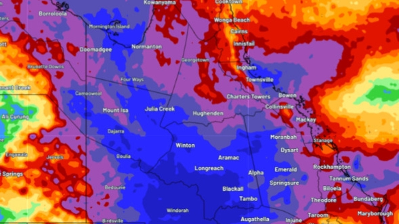
Not for the north of the country.
“It’s fairly humid as well and uncomfortable up over the NT top end,” Mr Sharpe said.
But as you head south the cooler conditions make themselves known – starting from southern Queensland down.
Stream more weather news live & on demand with Flash. 25+ news channels in 1 place. New to Flash? Try 1 month free. Offer ends 31 October, 2022 >
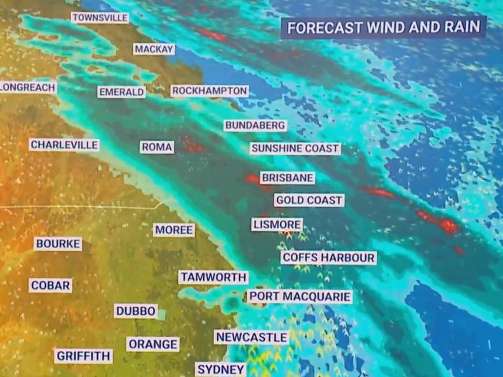
That drop in temperature will be seen in Brisbane. A high of 23C on Thursday will drop to 19C by Saturday, with some pretty heavy rainstorms in the mix. About 15mm of rain for Saturday and Sunday is possible.
Minimums will be 14C at 4am on Saturday – warmer than Melbourne at 4pm the same day – but then just 11C at dawn on Monday.
Townsville should hold steady at around 26C with 19C minimums and partly cloudy conditions.
The 21C high in Sydney on Thursday is also heading down. The mecury is expected to reach just 17C on Saturday, with lows of 11C expected across the weekend.
Showers will be increasing with up to 10mm on Saturday.
That wet weather will be more of a feature in northern New South Wales though. Grafton could see 15mm on Friday and 15-30mm on Saturday with showers easing for Sunday. Byron Bay is expected to receive 40-80mm in the rain gauge from Friday to Sunday.
Canberra is looking at 17C on Thursday and then 15C on Saturday. The capital is expected to see a frosty -1C low to start of the weekend and then zero on Sunday first thing. The lowest temperatures either side of the weekend should be around 2-3C. A possible shower in the capital on Saturday.
Wintry in the south east
Thursday will see a maximum in Melbourne of 16C, but that will drop to 13C on Friday where it gets stuck until next week. Overnight minimums will bottom out at 7C on Saturday and just 4C on Tuesday. It will remain mostly dry with a few light showers.
Hobart is in a maximum temperature Groundhog Day for the next week, with 13C most days – or maybe 14C if you’re lucky. The lows will bob around 4C but could get to 3C on Friday morning. Mostly dry with a possible shower here and there.
Mid-teens for Adelaide for the next few days and across the weekend although a dip to 14C on Friday is forecast. Overnight and 6-7C will be normal. Partly cloudy, some sun and no rain to speak of.
Rain will sweep across parts of Western Australia but Perth should mostly miss out with just a small shower or two for Saturday and Sunday.
The 23C high of Thursday will persist into Friday but then a drop to a maximum of 18C for Saturday and across much of the weekend and into early next week. Minimums should reach just above 10C but 8C on Tuesday morning is likely.
A warm and balmy 33C in Darwin with just a small sprinkling of rain on Friday and lows of 23C.
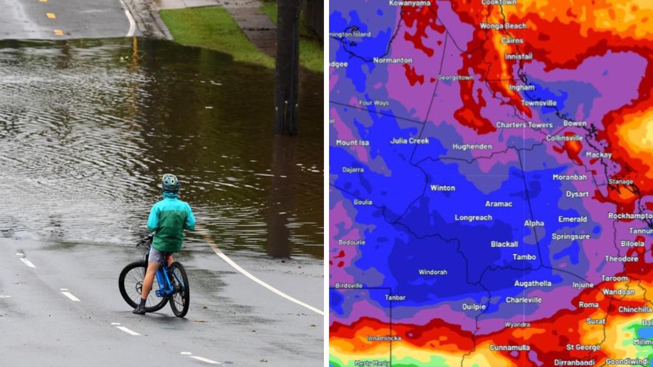
‘300mm’: More wild weather on the way
Heavy rainfall continues to batter one Australian state, with some areas expecting more than 300mm of rain and more flooding.
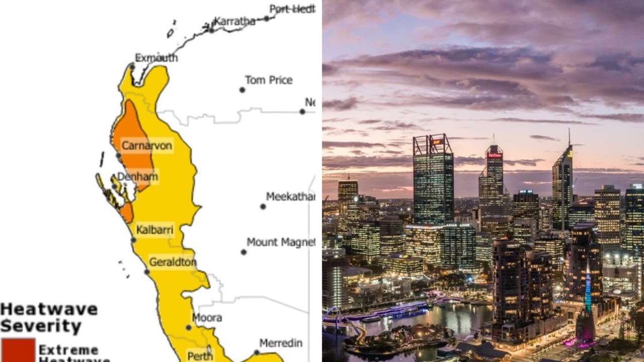
40yr record shattered in insane heatwave
An Australian capital city is sweltering through ridiculous temperatures as a potential cyclone forms.
‘Year’s worth of rain’ to smash state
Millions of residents have been warned to stay inside as potentially a “year’s worth of rain” passes over a major Aussie state.