NSW, Queensland weather: Flash flood warnings after storms continue to lash east coast
A gaping sinkhole has emerged in a NSW town after it was battered by “600mm of rain in five days” during the recent wild weather.

The wild storms that have lashed Australia’s east coast this week has caused a huge sinkhole to open in the NSW city of Coffs Harbour.
The news was shared by ABC journalist Jake Lapham, who shared a dramatic photo of the hole on Twitter this morning.
Mr Lapham revealed the sinkhole had emerged after the region copped 600mm of rain in just five days.
600mm of rain in five days will do it...sinkhole in a Coffs Harbour street. pic.twitter.com/CIfj0fSHSe
— Jake Lapham (@JakeLapham) December 15, 2020
The Bureau of Meteorolgy’s Jonathan How told news.com.au it “wasn’t surprising” given the heavy rainfall.
“It really depends on local ground conditions … but hundreds and hundreds of millimetres of rain over quite along time does open the possibility of erosion on the coast and also on the ground as well when the land is so saturated,” the meteorologist said.
Mr How said since Friday, upper Springbrook in Queensland had received a whopping 955mm followed by Logans Crossing in NSW with 656mm and Mullumbimby near Byron Bay with 536mm.
It comes as NSW’s north coast is facing an anxious wait as locals brace for heavy rainfall and abnormally high tides today.
While a severe weather warning has now been cancelled for the Northern Rivers and Mid North Coast districts, intense rainfall – and the risk of flash flooding – is still on the cards.
And according to the Bureau of Meteorology (BOM), rain and thunderstorms will remain in place for at least the next few days.
RELATED: Evacuation warning as heavy rainfall smashes coast
BOM flood manager Justin Robertson said that gale force winds, torrential rain and rough seas that have lashed the coastline causing erosion are now moving south.
Severe Weather Warning
— NSW SES (@NSWSES) December 15, 2020
for HEAVY RAINFALL and ABNORMALLY HIGH TIDES
For people in parts of Northern Rivers and Mid North Coast Forecast Districts.
For more information on this warning, visit the @bureauofmeteorology: https://t.co/I7C11Lv6F6 pic.twitter.com/Af0FJOErGz
“One thing I’d really like to emphasise, even though the rainfall has started to ease, it doesn’t mean the flood situation is easing,” Mr Robertson said.
“We still have flood water coming down through those river systems.”
Wilson Rising in #Lismore #northernrivers pic.twitter.com/vFcvv5m3R1
— Vic Lynch (@viclynch_) December 15, 2020
Multiple rivers are continuing to rise across parts of northern #NSW tonight. Even though #rain is easing in many areas, what has already fallen will drive some floods higher tonight & tomorrow. There are also some #storms around https://t.co/VA7BQOQ6iv @NSWSES @nswpolice @FRNSW pic.twitter.com/WpP0nJzShO
— Bureau of Meteorology, New South Wales (@BOM_NSW) December 15, 2020
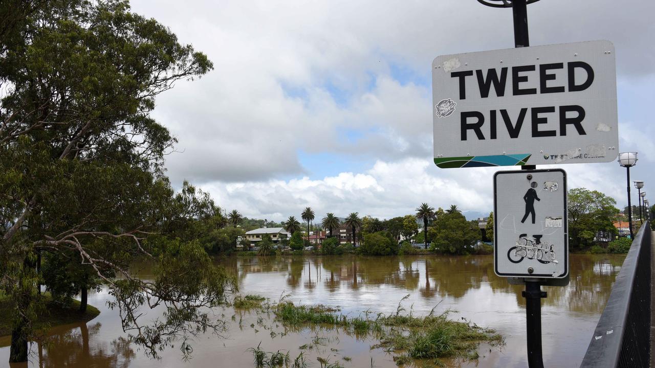
The warnings follow a fourth day of wild weather that saw the evacuation issued for the Tweed River at Condong, Tumbulgum and surrounding areas in northern NSW.
The BOM said multiple rivers continue to rise on NSW’s mid north coast and Northern Rivers catchments, affecting Tweed River, Wilsons River, Richmond River, Orara River, Bellinger River, Kalang River and Nambucca River.
A series of flood warnings were issued by the BOM early on Wednesday morning, with residents near the Camden Haven River at Laurieton, the Macleay River at Kempsey, the Hastings River at Wauchope and Settlement Point, the Wilsons River at Lismore, Nambucca River, Clarence River, Orara River and Richmond River on notice.
Speaking with ABC News Breakfast on Wednesday morning, NSW SES Assistant Commissioner Nicole Hogan said the region had been hit by a “significant amount of rain overnight”, although some of the river systems are falling.

However, she said the SES was still receiving requests for assistance from the public and communities, including five overnight and more than 1700 in the past five days.
She said the SES was still assessing the extent of the damage caused.
“We are hoping to have our … assessments done over the next week prior to Christmas,” she said.
“And depending on whether or not we’ll get more rainfall will obviously depend on whether there is a larger response requirement, but hopefully we are looking at some level of people going to be able to go back to normal within the next seven days.”
Wilsons River in Lismore was expected to reach about 8.2m around 2am Wednesday that is expected to impact a number of low lying surrounding areas.
The Tweed River was expected to peak around midday yesterday but instead peaked at 2.2 metres around 10:00am with moderate flooding.
Residents across Byron Bay and Lismore continued to flee to higher ground overnight with the help of NSW SES after an official Evacuation Order was issued for Tweed River yesterday which burst and flooded nearby areas.
Senior climatologist at the Bureau of Meteorology told the ABC up to 500mm of rain had fallen already and that half a metre of rain had fallen in the space of four days.
“So very heavy and significant rainfall,” she said.
âš ï¸ #Moderate Flood Warning issued for the Wilsons River at #Lismore. Moderate flooding is occurring along the Wilsons River at Lismore. See https://t.co/UwN3terHk5 for details and updates; follow advice from @NSWSES. #NSWFloods pic.twitter.com/YMSnFO8bhw
— Bureau of Meteorology, New South Wales (@BOM_NSW) December 15, 2020
Locals in affected communities used a break in heavy rainfall overnight to assess the impact and damage of the wild weather.
Chris Cherry, mayor of Tweed Shire Council, told the ABC authorities were still trying to assess the flooding damage.
“We’ve had some reports, obviously we don’t have a lot of that intel yet,” she said.
“There’s quite a bit of it on Facebook but in terms of direct hearing from people I’ve been talking to some people in Tumbulgum who have had inundation but at this stage it’s not clear how many people have been affected.”
The BOM also warned residents in affected areas of Queensland would continue to experience “isolated showers and storms” over the coming days that could lead to “further flash flooding”.
Severe Weather Update: Minor to Moderate #flooding NE #NSW & SE #Qld. Video current at at 12:00 pm AEST Tuesday 15 December 2020.
— Bureau of Meteorology, Australia (@BOM_au) December 15, 2020
Latest forecasts: https://t.co/boJ4ZE1k72 pic.twitter.com/9K5t7Mx54c
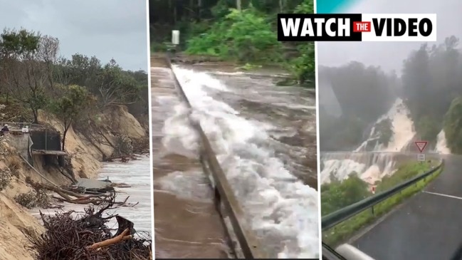
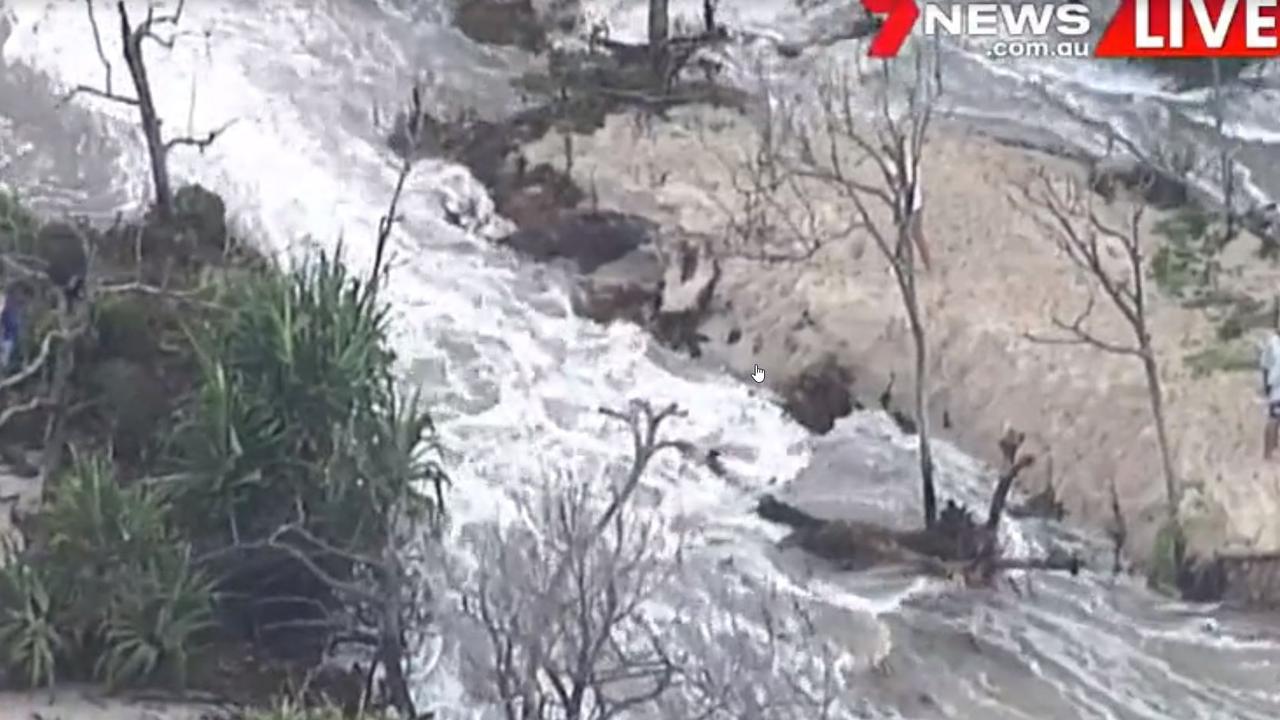
Bribie Island, a 34km-long sand island north of Brisbane, was divided in two for the first time in history.
Dramatic footage shows water gushing over the dunes at Bribie, threatening dozens of beachfront mansions.
The area has had a long-term erosion problem that has been exacerbated by the recent wild weather.
Bribie hugs the coastline and tapers to a long spit at its most northern point near Caloundra, and is separated from the mainland by Pumicestone Passage.

“At this stage it’s holding together but who knows,” Flotilla Commander Caloundra Coast Guard Roger Pearce told Sunrise on Tuesday.
He warned locals to “keep away” and said hopefully the sand island – which is home to a 55.8 sqkm national park – will survive, citing there were “still plenty of tree roots holding it together”.
Our Chief Coastal Scientist Sel Sultmann explains exactly what's happening on Bribie Island. Also check out some amazing drone vision taken by @realPeterJacko @QldParkAlerts pic.twitter.com/76F4ogjcir
— Queensland Environment (@QldEnvironment) December 15, 2020
But residents in the luxury homes on Golden Beach – of which Bribie acts as a buffer for the mainland from the strong ocean tides – face a nervous night ahead after the water broke through.
We're still seeing significant & continuing erosion at Bribie Island today however the dangerous surf & large swells have started to ease off. @BOM_Qld pic.twitter.com/CAZ8B0kw5w
— Queensland Environment (@QldEnvironment) December 15, 2020
A few clips of the overtopping during the king tide at Bribie Island this morning@CouncilSCC pic.twitter.com/sVecWFqpP7
— Peter W. Jackson (@realPeterJacko) December 15, 2020
These photos show the extent of the erosion on Bribie Island & why we're asking people to stay away from the northern end. @QldPolice @QldFES @BOM_Qld pic.twitter.com/HjOfegJ7pb
— Qld Park Alerts (@QldParkAlerts) December 14, 2020
The occupants of the approximately 1000 properties who fled following an order to “evacuate now” are also thought to be nervously waiting for news on how the flooding will affect their homes.

Social media users have shared images of their local area overrun with water, some expressing fear for the hours ahead.
“I spent large parts of my childhood at Currumbin, Bribie Island and Fraser Island. After the terrible fires last Christmas season, this is almost too much to bear,” one wrote.
“Watching #abcnews. Seeing the floods. Condong evacuated. I spent many of my teenage years living in Condong, on the beautiful Tweed River near the pollution-belching CSR sugar mill, & Murwillumbah. Never once flooded in Condong. Now evacuated,” another said.
While someone simply asked when many locals are undoubtedly feeling, writing: “When will it end?”


