
Wintry weather here to stay, as icy blast continues across Victoria
Icy winds, hail and thunderstorms have swept through the state, with Mt Hotham enduring ice-cold, sub-zero temperatures throughout the day. And the winter blast is here to stay.
Victoria
Don't miss out on the headlines from Victoria. Followed categories will be added to My News.
Melburnians can this week expect to continue to shiver through the Antarctic blast that lashed the state over the weekend.
Gusty winds and thunderstorms are still on the radar for metropolitan Melbourne after showers blanketed the area on Saturday when the temperature only reached a top of 12C.
Bureau of Meteorology duty forecaster Tom Delamotte said the bureau’s warnings of blustery winds would subside by Sunday night but the entire state would feel the icy blast into early next week. “Much of the state will sit between 10C and 13C this week”, Mr Delamotte said.
“We are likely to see up to 10mm in the city with showers expected throughout the day (on Sunday.”
The temperature in Ballarat is not expected to rise past 8C on Monday.
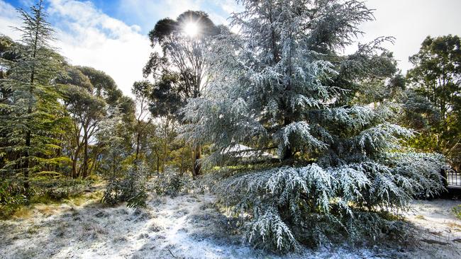
Mr Delamotte said snow falls would climb to 800m on Sunday and 900m by Monday, and snow was anticipated across regional Victoria.
“The Alpine region will particularly see some snow,” Mr Delamotte said.
“We will also see some snow on top of Mt Macedon and the Yarra Ranges.”
The wintry blast would result in temperatures in the Alpine region dropping to -6C at night until Tuesday morning.
Melbourne’s northern suburbs would experience morning frost on Monday and Tuesday while scattered showers and moderate southwesterly winds would sweep the rest of Victoria.
On Saturday, Mt Hotham recorded the lowest maximum temperature of the state where it was just -3.7C
On Saturday Victorians woke up to a freezing winter’s blast.
The coldest temperature recorded overnight was at Mt Hotham where the mercury reached only -6.6C and has only slightly increased to -4C today.
In Ballarat, temperatures have only reached a maximum of 6.9C and 7.6C in the Latrobe Valley.
Rain has so far lashed the south-eastern and eastern suburbs with up to 6-7 mm of rain recorded so far with 3.2 mm in the CBD.
Winds of up to 40 km/h a hit Melbourne in the late morning, making it feel a lot cooler outside.
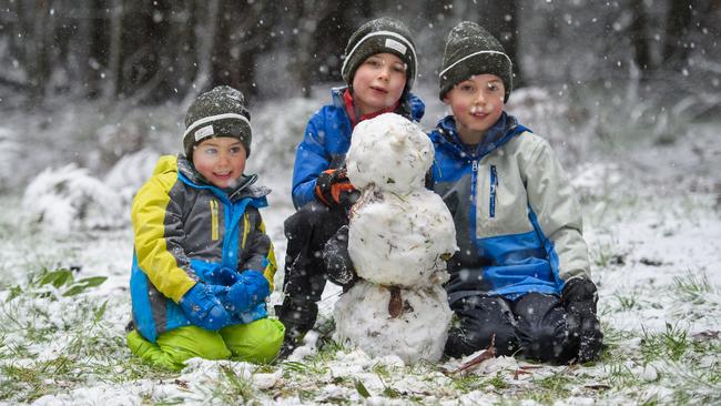
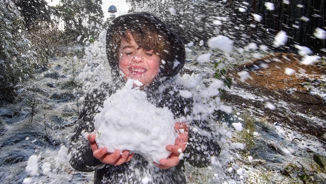
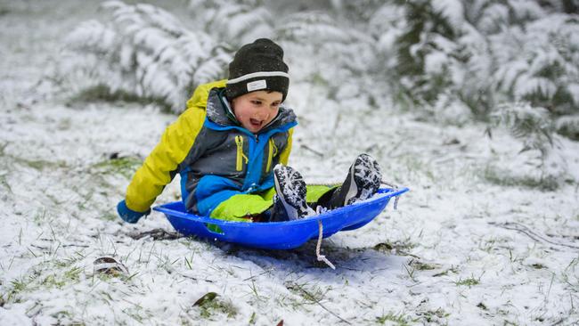
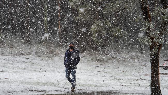
Snow was reported in some parts of the state but the chances of snow are set to taper as the day rolls on.
“We had reports of snow at Mount Dandenong and also up in the Macedon Ranges as well,” Mr Delamotte said.
“We can probably expect the main risk of snow being at the moment so as we go into this afternoon but we are not expecting any more snow at Mt Dandenong but we will continue to see snow up the top of Mt Macedon right into Sunday.”
Pockets across Victoria were hit with severe weather at the end of the working week, including the southwest coast and alpine regions.
The snow fields received gusts of almost 100km/h and a dusting of snow, while Wilsons Promontory received 32mm of rain.
MORE NEWS
HOW LIFE COULD LOOK IF RULES EASE IN SEPTEMBER