
Wild weather lashes state as 2020 rainfall surpasses last year’s entire downpour
This week’s wintry blast is set to ease off in Melbourne over the weekend after battering the state overnight, but more snow has fallen in the alps overnight. Hundreds called the SES for help overnight — this is the suburb that was hardest hit.
VIC News
Don't miss out on the headlines from VIC News. Followed categories will be added to My News.
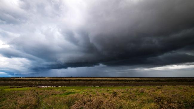
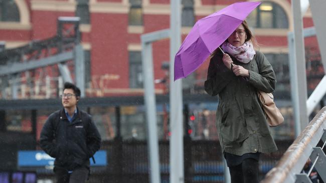
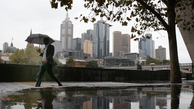
Melbourne received a soaking overnight, with the outer southeastern suburbs hardest hit by strong winds and showers.
The SES responded to 222 call outs across the state, 150 of which were for fallen trees.
An SES spokesman said the Emerald unit in particular responded to a high volume of call-outs, attending 21 jobs in the past 24 hours as rain lashed the Dandenong Ranges.
BOM duty forecaster Michael Halfpenny said the rain had been concentrated overnight in suburbs such as Monbulk, which recorded 19mm of rain, as well as West Gippsland which recorded 50mm.
Though Melbourne is likely to remain chilly today, the temperature peaking at 13C, Mr Halfpenny said the rain will remain concentrated in those outer suburban areas.
“That’s easing throughout today but it will still be quite windy and anywhere southeast of Moorabbin and Dandenong is getting some showers,” he said.
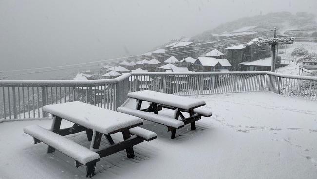
This morning, 56cm of snow was recorded at Mt Buller, with a significant dumping across Victoria’s snowfields.
Mr Halfpenny said the temperature would likely remain wintry and in the low teens in Melbourne, until next Tuesday which is forecast to reach 18C.
It comes after wild weather battered Melbourne’s bayside and eastern suburbs, along with the Dandenong Ranges and alpine region.
This has been the third-busiest year on record for the SES, with 28,000 requests this financial year.
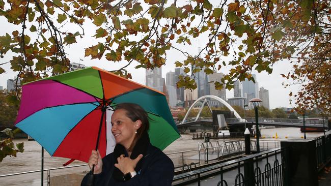
It comes as Melbourne officially experienced its wettest start to the year ever.
“If you do need to travel, be conscious on our roads that there is the increased risk of trees coming down with damaging wings,” SES chief executive Tim Wiebusch said.
Mr Wiebusch warned people to stay away from flood waters, with a small car able to float in 15cm of water.
Yesterday morning was also one of the coldest of the year, with the mercury reaching only 7.6C. The coldest morning of the year was 7.1C, recorded Tuesday.
LET IT SNOW
The alpine regions are bracing for more snow and blizzard conditions.
In the state’s northeast alpine areas yesterday, temperatures hovered around -3 to -4C and is not expected to rise above zero for the entire day.
The snow level is down to 900m and there were blizzard conditions.
Mr Stewart said there had been a “reasonable amount” of snow overnight with more expected today.
“Further snow and (it’ll be) very windy today, tending to blizzard conditions,” he said.
“It will still be pretty cold into the weekend so further snow falls lingering into Saturday.”
RECORD BREAKING
The city saw its wettest April since 1960, recording 138.4mm this month, with the eastern suburbs copping a soaking of 30-40mm.
Victoria’s coldest day on record was at Falls Creek on July 3, 1970, when the temperature plummeted to -11.7C.
The state recorded its highest monthly rainfall ever of 989mm also at Falls Creek on July 6, 1964.
Moderate flood warnings are in place for the Ovens and King Rivers.
Minor flood warnings are in place for Kiewa, Goulburn, Mitchell, Murray River upstream of Lake Hume and Seven and Castle Creeks.
A flood watch has been issued for Bunyip, Upper Yarra and Latrobe River Catchments.
MORE NEWS

‘Angels’: Hero Coles workers save mum’s life
A mother of three has opened up on how her life was saved after she suddenly collapsed while doing a routine supermarket shop.

Wildlife and traffic fears over music festival
Wildlife advocates fear a weekend music festival in central Victoria will endanger native animals including rescued joeys.