
Victorians set to sweat well into next week
The uncomfortable humidity plaguing Melbourne is set to stick around for a while, thanks to tropical conditions being pushed down from Queensland.
VIC News
Don't miss out on the headlines from VIC News. Followed categories will be added to My News.
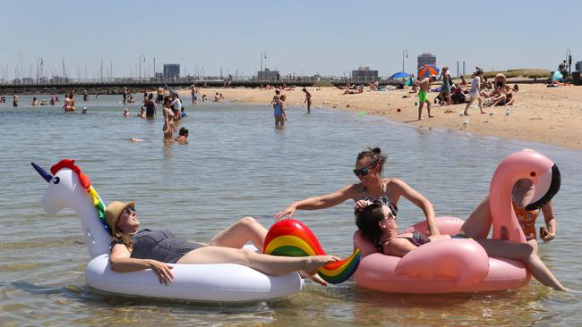
Victoria has experienced an unusual and uncomfortable humid few days, and won’t receive any respite from it until next week.
Bureau of Meteorology senior meteorologist Richard Carlyon said there were two major factors contributing to the tropical heat affecting the state.
The first is the tropical storm activity impacting the north east of the country, which has pulled a large amount of moisture into NSW and to the north of Victoria.
Tropical Cyclone Uesi has formed 1400km off the Queensland coast over the Coral Sea, which is further contributing to the moisture pushed towards the south.
#CycloneUesi about 1400km off Australian coast, near New Caledonia, as Category 3 system tracking S-SW. Likely to enter our region Thursday night or Friday. Likely transition to ex-tropical cyclone as it moves south near NSW. Not expected to make landfall. https://t.co/FgoyftmoVe pic.twitter.com/7Op0yn3092
— Bureau of Meteorology, Queensland (@BOM_Qld) February 11, 2020
Secondly, strong easterly winds are capturing the humidity and moving it across Victoria and into Melbourne.
Mr Carlyon said Melbourne does typically receive short bursts of tropical heat at this time of year, but the current ongoing humid weather pattern is quite “unusual”.
MORE NEWS
MAN OVERDOSING SHOCKS HERALD SUN PHOTOGRAPHER
PRIVATE SCHOOL CHANGES TUNE AFTER VILE STUDENT CHANT
JEFF KENNETT SLAMS “EMBARRASSING” AFL BACKFLIP
Victorians will see a return of a more familiar dry heat later next week, Mr Carlyon said.
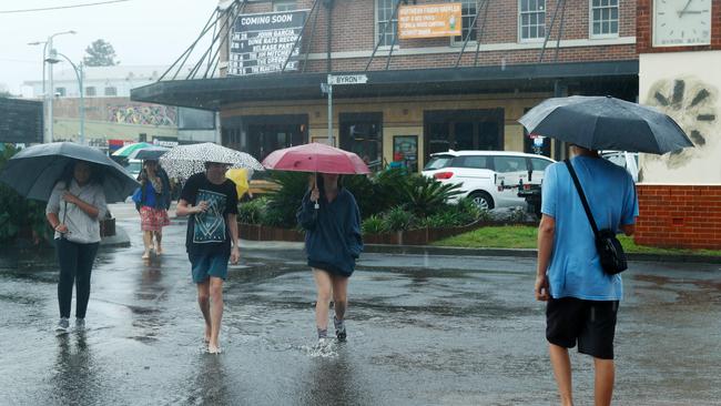
The recent rain that has lashed NSW is not expected to significantly impact Victoria.
Some severe thunderstorms were predicted for today and Thursday, causing the BOM to issue a weather warning which has since been cancelled.