
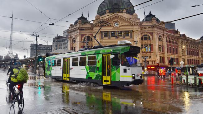
Victorians bracing for cool and wet weather on Christmas Day
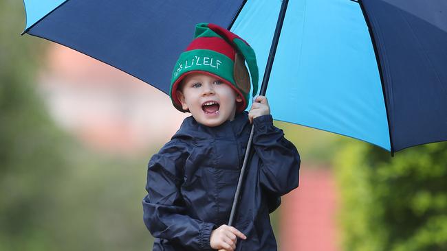
Victorians wishing for a sunny Christmas will be left disappointed as cool and wet conditions are forecast to hit the state.

Victoria
Don't miss out on the headlines from Victoria. Followed categories will be added to My News.
Victorians hoping for warmer weather on Christmas Day are likely to be left disappointed with a cold snap expected to sweep the state.
And if you’re keen for a rain-free summer break head to Perth with the coasts of New South Wales and Queensland facing a wetter than usual summer.
Bureau of Meteorology senior meteorologist Jonathan How said temperatures in Victoria this month would be cooler compared to previous years.
“We are looking at cooler and wetter conditions than average,” he said.
“The average temperature in Melbourne is about 24C during December so Victorians can expect temperatures below that.”
Mr How said the bureau won’t know the exact temperature for the festive day until at least a week before December 25.
Despite a disappointing start to summer, high temperatures will hit Victoria in January.
“It’s looking like La Nina is expected to weaken off early in 2023 so that does mean a return to more neutral conditions for summer,” he said.
“Of course Melbourne’s temperature goes up and down quite a bit but we will still get our warmer days.”
For those looking to escape the state over the holidays, warmer than average weather is forecast in multiple states including Queensland, South Australia and Tasmania.
“In January, the only part of Australia that will be cooler than usual is eastern New South Wales,” Mr How said.
“The rest of the country is looking to have average to above average weather.”
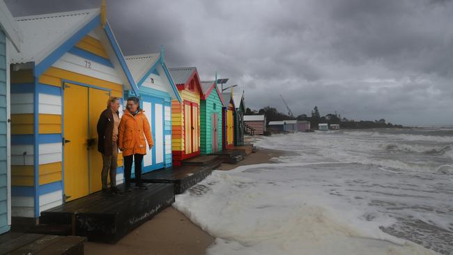
Meanwhile, the latest three month rainfall outlook from the bureau, released yesterday, shows there is an above average chance of rain along the entire New South Wales Coast and much of Queensland for the December to February period.
Areas facing the highest chance of above average rainfall include Byron Bay and Tweed Heads in NSW and the Gold Coast in Queensland.
Areas facing a 65 to 70 per cent chance on higher rainfall include Hervey Bay, Coffs Harbour, Forster and Merimbula.
Perth, by contrast, has among the highest chance of avoiding rain for the period.
“This wet outlook over northern and eastern Australia is consistent with several climate drivers, including La Niña, a rapidly decaying negative Indian Ocean Dipole event, a positive phase of the Southern Annular Mode, and record warm waters around Australia,” the update said.
The outlook comes as Victorians shivered through the coldest spring in more than three decades.
Sky News meteorologist Rob Sharpe said the reason for the “exceptional” cold burst was due to a strong polar vortex over Antarctica.
“The air over Antarctica is much colder than usual, particularly in the upper levels of the atmosphere,” he said.
“We’ve seen this cold make inroads on southeast Australia on three occasions.”
Daytime temperatures were lower than usual compared to recent years, with Melbourne’s maximum at least one degree below average and lowest since 1992.
The most recent update from the National Council for Fire and Emergency Services shows a large part of Victoria, including holiday destinations such as Mallacoota, have a below normal chance of fire.


Keep them safe: Our children are counting on us
Child predators are slipping through cracks in Australia’s fractured child protection systems – a national register could be the “game-changer” families need.

He survived a gruesome plane crash at Avalon Airshow. Now, he wants to fly again
Pilot Glenn Collins miraculously lived to tell the tale after a horror plane crash during an aerobatic show at Avalon. He’s already looking to take to the skies again.