Severe thunderstorms to blast Victoria as wild weather continues
Four people from a Bright caravan park were taken to hospital after a gum tree toppled onto tents and a caravan, as severe storms lashed Victoria.
News
Don't miss out on the headlines from News. Followed categories will be added to My News.
Four campers were taken to hospital on Wednesday night after a gum tree fell on tents and a caravan in Victoria’s High Country.
Emergency services were called to Freeburgh Caravan Park in Bright about 7pm.
A SES spokeswoman said crews battled tough weather conditions but managed to free the four people.
It is believed one man was flown to a Melbourne hospital while the three others were taken to local hospitals.
The extent of their injuries is not yet known.
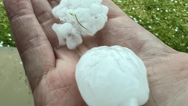
Wild weather battered parts of the state on Wednesday, with hail, damaging winds and floods causing havoc.
Thousands of homes and businesses were without power due to the storm damage.
The State Emergency Service received 883 calls for help between 9am on Tuesday and 7am on Wednesday, including for fallen trees (359 calls), flooding (252) and building damages (211).
âš¡ SEVERE THUNDERSTORMS producing heavy rainfall/flash flooding, damaging winds, or large hail are a risk over much of #Vic this afternoon - particularly the eastern ranges & Gippsland hills where INTENSE rainfall may cause life-threatening flash flooding. https://t.co/as2MsWoVL1pic.twitter.com/qf0UHNo6Jh
— Bureau of Meteorology, Victoria (@BOM_Vic) January 3, 2024
Minor Flood Warning - Advice for Loddon River Loddon Weir to Kerang. You should Stay Informed. For more info: https://t.co/ehORN8L0ky#vicfloods
— VICSES News (@vicsesnews) January 3, 2024
The worst-hit areas were Ballarat and Sebastopol, with Wangaratta, Bendigo and Euroa also bearing the brunt of the deluge.
Police urged motorists not to drive though floodwaters after a man and his dog were lucky to escape injury in fast rising waters in Wedderburn on Tuesday.
Officers were told the man was driving along Tantalla St when he drove into floodwaters and was swept away about 5.30pm.
The man and his dog clambered on to the roof of the half-submerged Ford Territory, where they were rescued by emergency services, who threw them a rope and pulled them to safety.
The 60-year-old Wedderburn man was taken to hospital for observation and the dog suffered no injuries.
The man’s vehicle ended up fully submerged in the flood-affected area near Nardoo Creek.
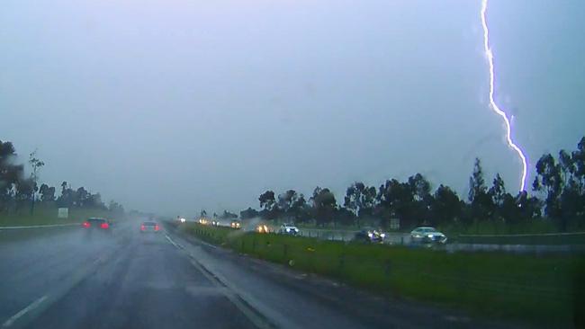
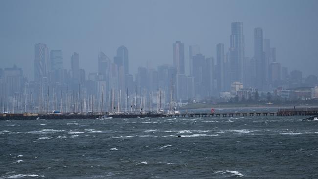
On Tuesday, stormy weather hit Melbourne Airport about 3.25pm before skirting the northern edge of the city at 3.40pm.
Melbourne Airport advised passengers to check with their airlines for delays.
Large hailstorms, thunder and lightning hit Bendigo midway through Tuesday afternoon.
Towns northwest of Bendigo such as Wedderburn were also put on alert after experiencing heavy flooding on Christmas Day.
Other locations forecast to be affected include Maryborough, Castlemaine, Kyneton, Ballarat and Bacchus Marsh.
The State Emergency Service urged anyone in the affected areas to avoid driving if possible, to secure any loose outdoor items and move to a safe place indoors.
Since 6:00am yesterday to 10:00am today, our volunteers have responded to over 920 requests for assistance with heavy rainfall and storms across the state.
— VICSES News (@vicsesnews) January 2, 2024
If you're on the road today, take care and look out for debris such as fallen trees. And remember - never enter floodwater. pic.twitter.com/gML7AvUbwy
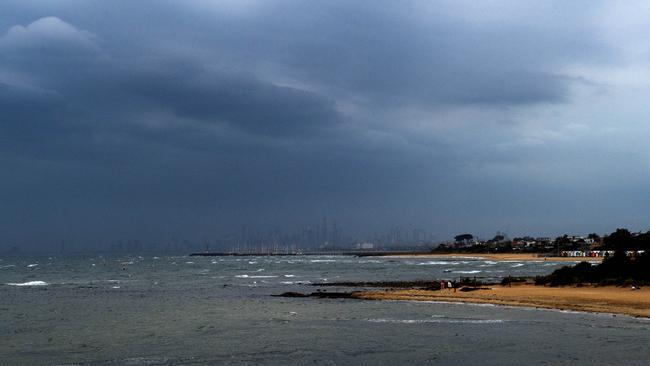
Residents have been urged to monitor the VicEmergency and BOM websites for further updates.
Up to 10mm of rain was forecast for Melbourne on Tuesday afternoon, according to the Bureau of Meteorology website.
The forecast came after one of the wettest Christmas Days in living memory, with just a small respite over New Year.
Further thunderstorms have been forecast for metro Melbourne and Gippsland on Wednesday before the sunshine is set to return at the end of the week.
Melbourne is forecast to hit temperatures between 27C and 31C from Friday to Sunday, giving Melburnians the “first real taste of summer” according to a BOM spokesman.
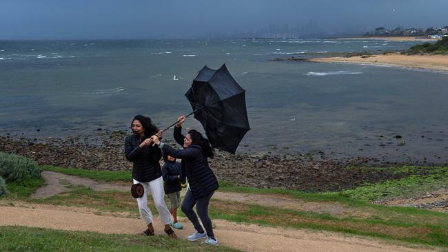
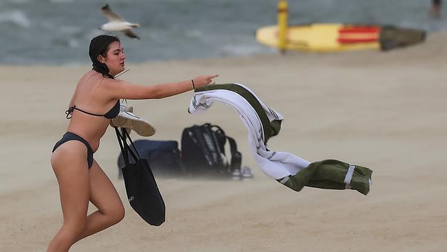
SES tips for severe thunderstorms
• If driving conditions are dangerous, safely pull over away from trees, drains, low-lying areas and floodwater. Avoid travel if possible
• Stay safe by avoiding dangerous hazards, such as floodwater, mud, debris, damaged roads and fallen trees
• Be aware – heat, fire or recent storms may make trees unstable and more likely to fall when it’s windy or wet
• Check that loose items, such as outdoor settings, umbrellas and trampolines are safely secured. Move vehicles under cover or away from trees
• Stay indoors and away from windows
* If outdoors, move to a safe place indoors. Stay away from trees, drains, gutters, creeks and waterways
• Stay away from fallen powerlines – always assume they are live
• Be aware that in fire affected areas, rainfall run-off into waterways may contain debris such as ash, soil, trees and rocks. Heavy rainfall may also increase the potential for landslides and debris across roads
• Stay informed: Monitor weather warnings, forecasts and river levels at the Bureau of Meteorology website, and warnings through VicEmergency website/app/hotline


