
Thunderstorm and rapid cool change headed for Melbourne after severe heatwave conditions
Victorians can look forward to some cool relief from the state’s stifling heatwave conditions as a rapid cool change gets set to send temperatures plummeting within hours on Tuesday.

Victoria
Don't miss out on the headlines from Victoria. Followed categories will be added to My News.
Victorians can expect a snap ending to the scorching heatwave conditions that have stifled the state.
A cool change is set to bring temperatures back into the mid-20s after a sizzling weekend in which resulted in thousands of Victorians losing power.
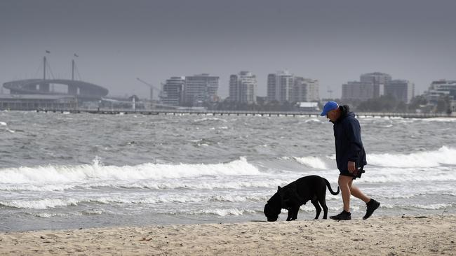
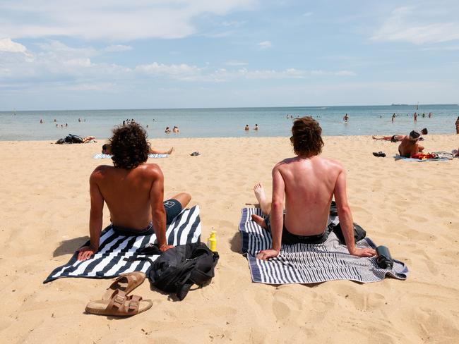
Melburnians flocked to the beach as the mercury hit 38.5C on Sunday before another scorcher on Monday brought a top of 37.7C.
The Bureau of Meteorology tracked a severe heatwave from Saturday that crept through from the west before dropping to low-intensity conditions come Monday.
But after the city hits a top of 36C on Tuesday, temperatures are forecast to fall by 10 degrees within about an hour in the early afternoon.
Senior meteorologist Lincoln Trainor expected “complete relief” from the heatwave at around 2pm to 3pm.
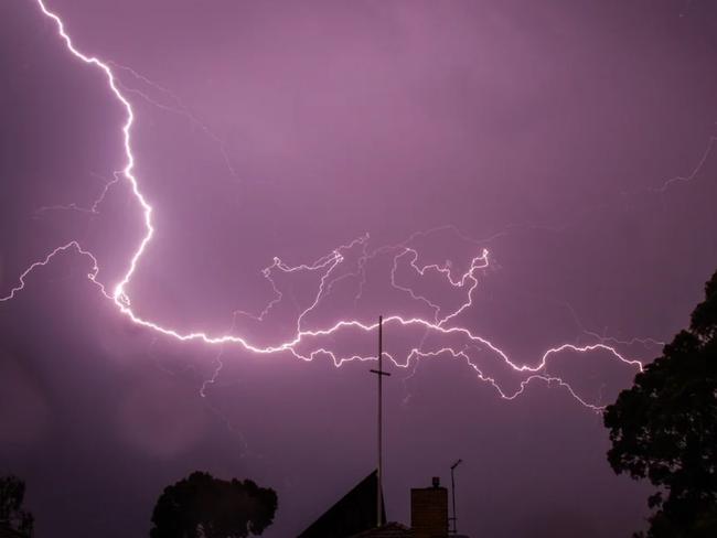
Mr Trainor expected hazardous thunderstorms would lash the west and north of the state following the trigger of the cool change.
“Cause this change is coming through during the middle of the day and the temperatures have still got up pretty high cause we had such a warm night, there’s this risk of thunderstorms,” Mr Trainor said.
“The hot air just wants to rise and then you combine that with the instability of this change and it starts to add all the ingredients (for a thunderstorm) — and there’s a lot of water in the atmosphere.
“There’s potential risk from 2pm around Ballarat particularly, up towards Bendigo, and then to the west of severe storms, which could bring damaging wind gusts, large hail and heavy rainfall.”
Mr Trainor said hazardous storms were not expected over Melbourne — but the city could still be hit by “more standard thunderstorms” with a slight chance of rain.
Temperatures are expected to settle to about 18C in the city before milder conditions continue into Wednesday for a top of 24C.
Low-intensity heatwave conditions are expected to prevail in the north of Victoria until the weekend.
Melburnians won’t be able to keep their aircons off for very long, however, as the summer heat returns with a maximum temperature of 29C on Thursday ahead of another cooler change for a top of 26C on Friday.
Partly cloudy conditions will remain throughout the week before another hot weekend with temperatures in the low 30s.
Meanwhile at the fireground in Victoria’s west, firefighters in the Grampians are welcoming a more gradual cool change on Tuesday, but bracing for risk of more dry lightning.


Everything Labor needs to do to win the next Victorian election
Victorian state parliament will soon return from the winter break. We look at what the government needs to do in order to win the next election.

Landowners above new rail tunnel fuming over sneaky law change
Families are fuming after the revelation that landowners above the Suburban Rail Loop won’t get legal costs reimbursed if they seek compensation.