
Polar blast easing after Victoria’s wintry weekend
Victorians have shivered through another chilly night — but a reprieve from the weekend’s wild weather is on the way.
Victoria
Don't miss out on the headlines from Victoria. Followed categories will be added to My News.
Victoria’s wintry weekend blast is set to ease from Monday, despite a rainy and cold start to the morning.
The statewide average is set to reach 17C on Monday, but Bureau of Meteorology senior forecaster Christopher Arvier said that temperature may feel a little cooler.
“It’ll feel a bit colder because of winds pushing up from the Southern Ocean … It’s going to be a pretty cool day,” he said.
“We’re still seeing a bit of rain falling around the state today but conditions are very much easing.”
Mr Arvier said the state could expect patchy sun pushing through in the afternoon. Parts of the state’s northwest may rise to 20C.
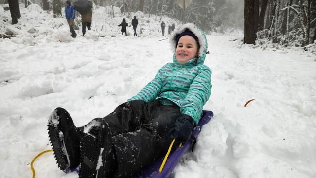
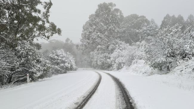
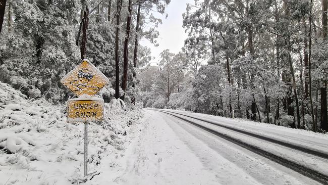
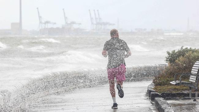
Icy cold winds hit Melbourne over the weekend, with low-level snow and frost sweeping parts of regional Victoria and bringing an early taste of winter.
The eastern suburbs recorded the highest rainfall over the weekend with an average of 20 to 40mm. Ferny Creek, in the Yarra Ranges, recorded 59mm, the most rainfall on Saturday.
Autumn snow, which fell in parts of Victoria as part of a cold front over the weekend, is beginning to melt.
Mr Arvier said the ski resorts didn’t get “much in the way of snow” overnight, despite recording overnight temperatures of 0C.
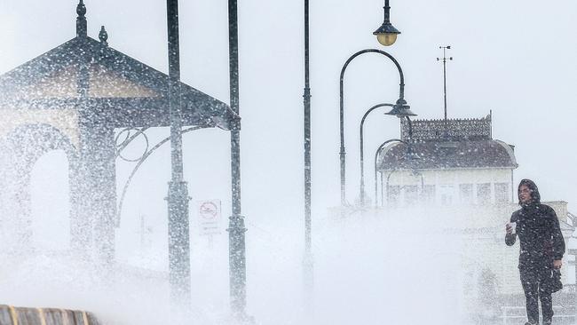
He added there were no major weather warnings issued for Victoria, but coastal communities should be on alert for gale force winds.
“The snow level is lifting and so are the wind levels … Really the brunt of the weather hit over the weekend, and we’re expecting a calmer day (Tuesday),” he added.
But high winds are on the horizon on Tuesday night/Wednesday morning, as ex-tropical Cyclone Seroja, which slammed Western Australia’s coastline with winds of up to 170kmh, makes her way south.
The fast-moving cyclone hit land on Sunday evening and is set to move into the Great Australian Bight on Monday.
“(The cyclone) is probably not going to have a huge impact on Victoria, but it will be quite windy on Tuesday night and into Wednesday morning,” Mr Arvier said.
“It’s going to pass south to Tasmania, and we’ll sort of feel the impacts here during a bit of a windier day.”
Meanwhile, Animalia Wildlife Shelter urged Victorians to keep an eye out for penguins who may have washed ashore in the wild weather.
The shelter, based in Frankston, wrote online they were putting out a call out for people to take a walk on their local beach in search of distressed birds.
“The young chicks have left the nest … They don’t know how to fish and have gone out in rough seas which means they will be tossed around and will turn up exhausted,” the shelter wrote.
“It’s vital we get them into our care ASAP.”


Your heart rate will be too high if you do this two hours before bed
It turns out doing this even two hours before bed can raise your resting heart rate and reduce your sleep by 30 minutes, new research has found.

Naked man confronts shocked hiker at Braeside Park
A hiking content creator has revealed the terrifying moment a “completely nude” man leapt out in front of her during a peaceful trail walk in Melbourne’s southeast.