
Icy blast to bring wind, rain and snow across Victoria
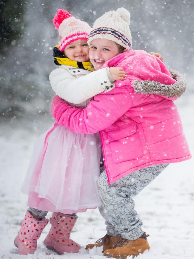
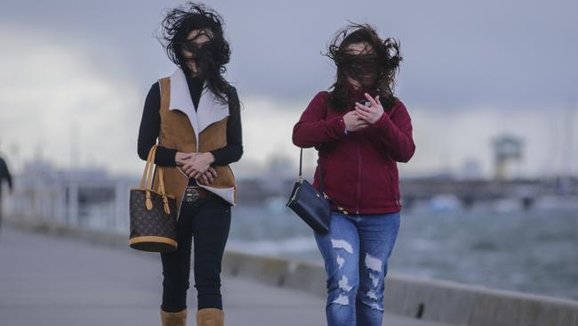
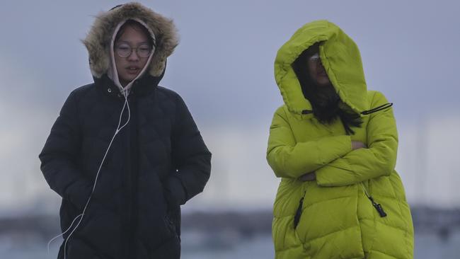
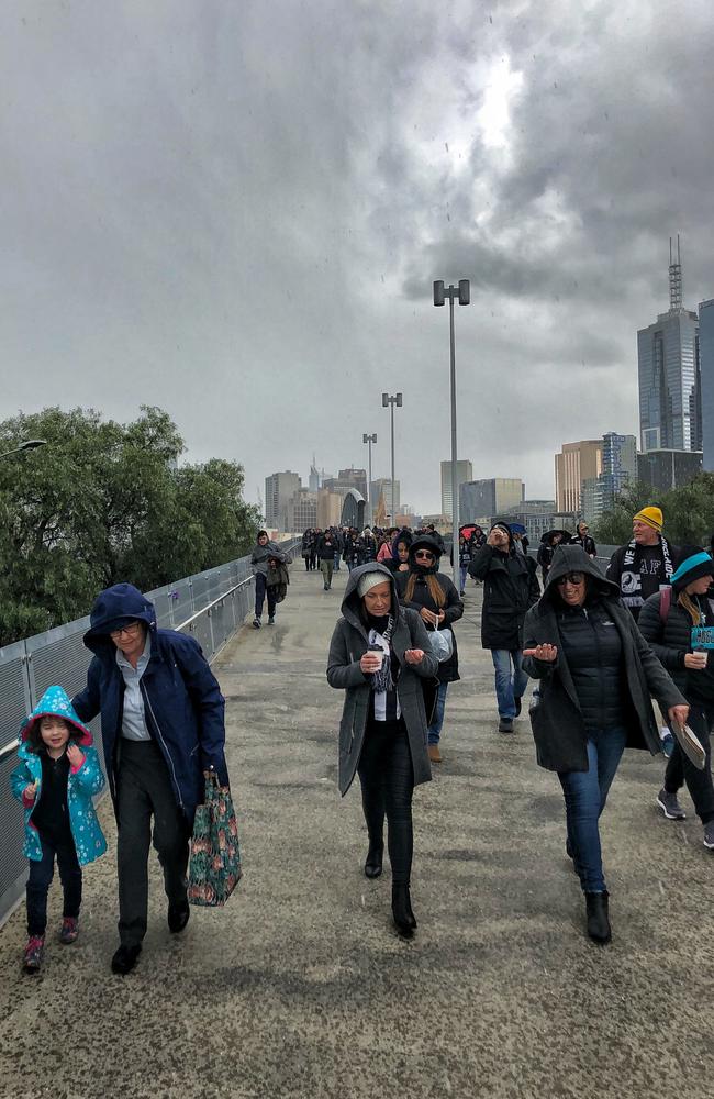
SNOW has fallen near Melbourne as Victoria shivers through a freezing Sunday. Snowgoers are unable to leave Mt Baw Baw due to icy roads. Wild winds, thunderstorms and hail are hitting the city.
VIC News
Don't miss out on the headlines from VIC News. Followed categories will be added to My News.
SNOW has fallen in the hills near Melbourne as Victoria shivers through a freezing Sunday.
A severe weather warning is in place with wild winds, thunderstorms and hail hitting the city.
MORE NEWS: HOW TO SAVE $890 ON YOUR POWER BILL
CHLOE’S STORY IS WHY WOMEN ARE AFRAID TO GO OUT
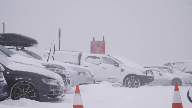
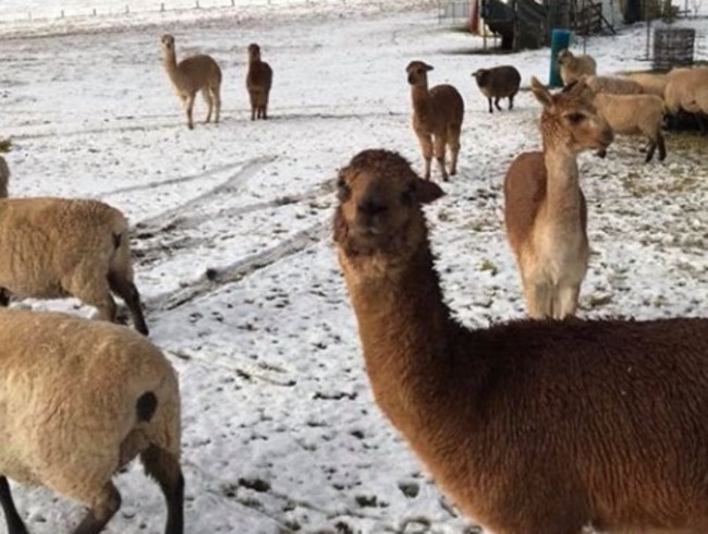
There have been reports of snow in the Macedon Ranges, while police have closed ice-affected roads leading into Mt Baw Baw.
“The access roads to Mt Baw Baw from Icy Creek are closed to traffic until further notice,” police said.
“Traffic will be turned back at this location and police will access the roads again at about 2pm.”
Holiday-makers are also unable to leave the mountain.
It’s also snowing at Mount Macedon where Top of the Range Tea Rooms cafe began live streaming the snow on the cafe’s Facebook page.
“We have about 4cm so it’s not a bad covering but its melting fast,” the cafe’s owner Luke Chapman said.
“It’s looking really nice, there’s enough to make a snowman.”

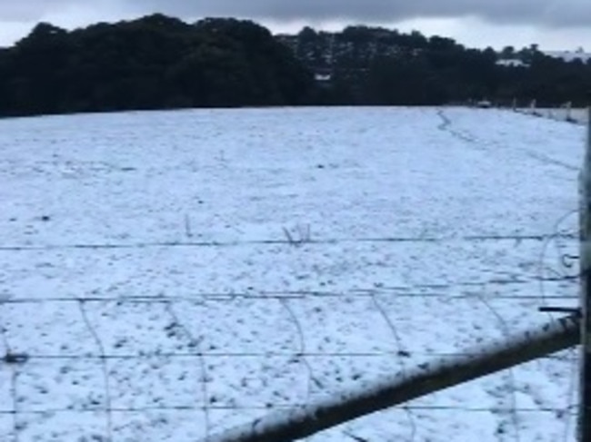
Snow also covered the ground at Bullarto South between Daylesford and Trentham this morning.
Local Angela den Hollander said she woke up to a “magical” fresh blanket of snow.
“The light is bright reflecting off the snow and there are big flakes coming down right now,” she said.
“There’s always flurries in winter and good amounts that settle about once each winter.”
HAS IT SNOWED AT YOUR PLACE? SEND US YOUR PHOTOS/VIDEO news@heraldsun.com.au
Some Melbourne suburbs have been covered in white too — with more hail falling this morning.
As close to snow as we will get in the burbs #excited #kids #melbourne #hail #storm #doyouwantbuildasnowman pic.twitter.com/LifBrMEsYU
— Karla Florance (@Janiero16) August 18, 2018
It is the second day of wild weather with thunderstorms and strong winds lashing western and central parts of the state yesterday.
A 15-minute burst of hail and torrential rain sent reserves footballers at Silvan scrambling for the changerooms.
Hail covered the ground in a blanket of white before players re-entered the field to finish the match.
MORE STORIES: JAIL ORDEAL ALMOST OVER FOR NIKOLIC
WHAT VICTORIANS CAN EXPECT THIS WINTER
INSIDE LOOK AT HOW MELBOURNE’S WEATHER IS FORECAST
Bureau of Meteorology senior forecaster Stephen King said yesterday the rain would not ease until Sunday afternoon.
“We are expecting a cold and windy day,” he said.
Possible hail and thunderstorms have been predicted for around the state, with a top of 11.
The wet and windy weather is expected to improve by Monday or Tuesday next week.
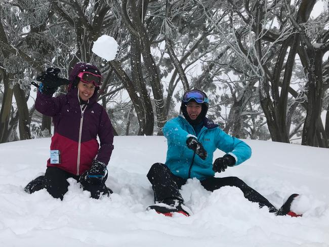
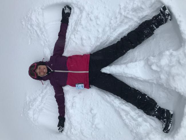
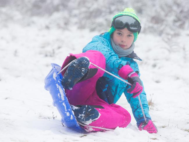
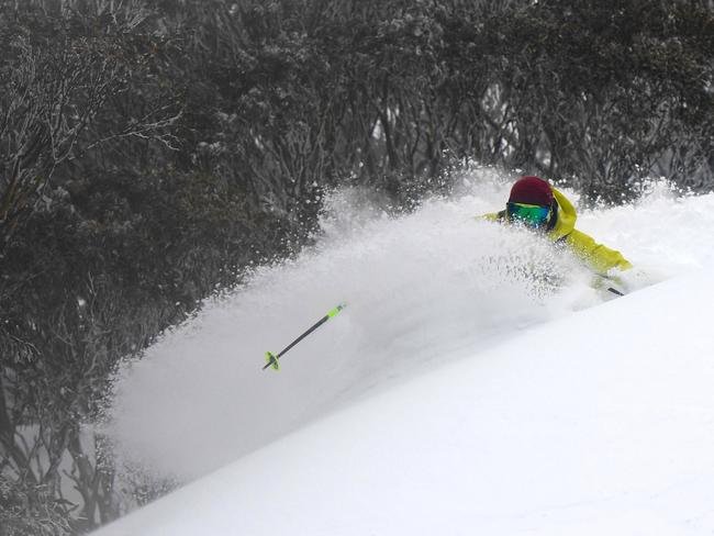
Alpine resorts are rejoicing after Mt Buller and Mt Hotham both reported excellent skiing conditions, with temperatures expected to stay around -2C as powdery flakes continue to fall on the mountains.
At Mount Hotham the snow base has broken the 200cm mark.
Snow began falling in the early hours of Saturday morning and has continued into the afternoon.
Up to 30cm is expected to fall over the weekend.
GREAT READS FOR A COLD SUNDAY:
SON OFFERS NEW LEAD IN MOTHER-DAUGHTER TAPP MURDERS
BAREFOOT INVESTOR: PUTTING YOUR SUPER INTO BETTER SHAPE

‘Angels’: Hero Coles workers save mum’s life
A mother of three has opened up on how her life was saved after she suddenly collapsed while doing a routine supermarket shop.
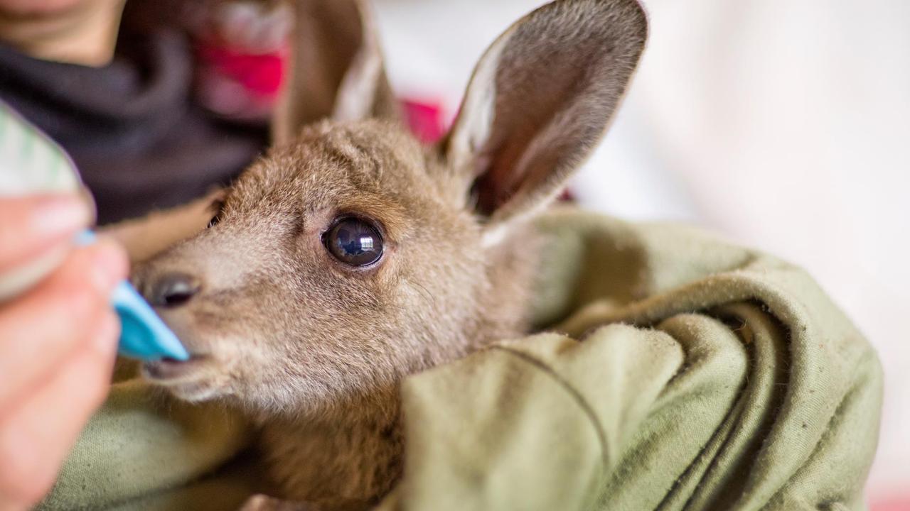
Wildlife and traffic fears over music festival
Wildlife advocates fear a weekend music festival in central Victoria will endanger native animals including rescued joeys.