
Extreme heatwave and high humidity as Victoria set to swelter
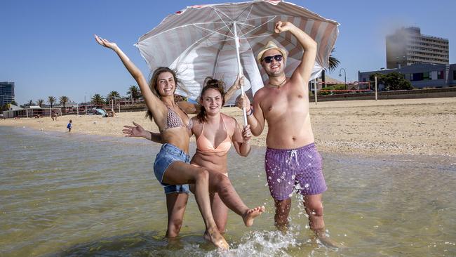
Victorians are being warned to brace for weather so hot and erratic that it’s a danger to their health, with a mixture of heat and humidity creating conditions like the tropical Northern Territory.

VIC News
Don't miss out on the headlines from VIC News. Followed categories will be added to My News.
Victorians are being warned to brace for hot, dangerous and erratic weather today, with a total fire ban in the state’s central and western districts.
Heatwave conditions will see the mercury hit 43C today with even hotter temperatures of 45C in the north of the state — but combined with high humidity much of the state will feel like the tropical Northern Territory.
“It’s going to feel in some parts more like a build-up day in Darwin rather than what we’re accustomed to in Melbourne,” Bureau of Meteorology meteorologist Diana Eadie said.
The humidity will bring the risk of heavy downpours, high winds and lightning in the central and southwest of Victoria, with flash flooding possible.
The blast of heat is also expected to push the power grid to the limit.
Very dry heat today but relative humidity increases Friday as moisture from the tropics gets dragged down from the northwest. Check forecasts at https://t.co/3vsGtZ7sOa pic.twitter.com/gOiPKgAVzp
— Bureau of Meteorology, Victoria (@BOM_Vic) January 30, 2020
The Australian Energy Market Operator on Thursday night said it might need to call on emergency reserves between 4.30pm and 6pm inVictoria.
The temperature is expected to top 43C in Melbourne at about 5pm, which is around the same time storms and showers will hit.
The market operator’s notice means it may direct big electricity users to power down, or call on other emergency backups.
Victoria should see showers on Saturday but the humidity could remain.
And Melbourne isn’t likely to see a night lower than 20C until Sunday.
A cool change on Sunday would return weather conditions to more normal levels.
Dust storms whipped up by the destructive winds could also see the return of the muddy rain that hit Melbourne last week.
FRESH FIRE RISK
A total fire ban across the central, southwest, Mallee, Wimmera areas is in place until 11.59pm Friday.
“It effectively means that no fires can be lit in the open air in those total fire ban districts, nor can fires be allowed to remain alight in those districts,” CFA executive director Gregg Paterson said.
Minister for Emergency Services Lisa Neville urged people who didn’t have a fire plan to get one ready before it was too late.
“If your plan is that you’re going to wait until fire is near your doorstep and then leave, that is not a good plan,” she said.
“We’re seeing one half of the state largely in a severe fire danger area, and the other in very high danger area … there are risks right across the state and that’s because we remain very, very dry. Our soil moisture is very dry, our forests are very dry.”
There are 10 fires still raging in East Gippsland and the wind and lightning elevated the risk of igniting new ones and fuelling the existing blazes.
MORE NEWS
BARTY DREAM OVER IN AUS OPEN SHOCK
UP TO 200 MELB PASSENGERS EXPOSED TO VIRUS
There are no watch and act or emergency warnings, but Emergency Management Commissioner Andrew Crisp expected that would change.
“We’ve had the benefit of some suppressed, benign conditions over the last few days. However, as we’ve heard, it’s going to be hot, dry. We’re going to see those northerly winds pick up.”
He warned the worst of the fire season could still be yet to come.
“We’ve had fires the last two years in March, where we’ve lost property in this state,” Mr Crisp said.
“So, we have still got probably another six to eight weeks to go in relation to some fairly active fire behaviour.