
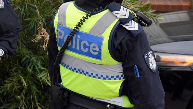
Crime stats: How safe is your electorate?
Are candidates in your area promising to get tough on crime? Does it seem like there’s more break-ins or assaults in your suburb than there used to be? Here’s how you can check just how safe your electorate really is.
VIC News
Don't miss out on the headlines from VIC News. Followed categories will be added to My News.
Are candidates in your area promising to get tough on crime?
Does it seem like there’s more break-ins or assaults in your suburb than there used to be? Here’s how you can check just how safe your electorate is.
The Herald Sun’s Victorian electorate map is a one-stop resource ahead of the 2018 State Election.
CLICK HERE AND SCROLL DOWN TO SEE THE MAP
The map not only shows each electorate, its candidates, the margin held and why it is significant — it also includes a breakdown of all criminal incidents recorded in 2018, including how each electorate ranks on crime compared to the rest of the state.
For example, Premier Daniel Andrews’ electorate of Mulgrave includes Greater Dandenong and Monash local government areas.
The map shows the electorate ranks 5th in the state for the most robbery incidents per 100,000 population.

‘Angels’: Hero Coles workers save mum’s life
A mother of three has opened up on how her life was saved after she suddenly collapsed while doing a routine supermarket shop.

Wildlife and traffic fears over music festival
Wildlife advocates fear a weekend music festival in central Victoria will endanger native animals including rescued joeys.