
Sydney CBD’s underground map created to preserve histroy
Sydney’s buried secrets are set to be unveiled as part of work to create the very first 3D map of Sydney. The work is underway to avoid construction disasters such as the Lane Cove Tunnel collapse. LINDA SILMALIS reports.
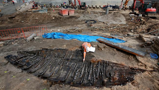
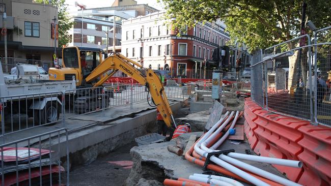
AN UNDERGROUND map of Sydney detailing its secret tunnels, faults and even long-forgotten gravesites is being created to prevent infrastructure blowouts and disasters such as the Lane Cove Tunnel collapse.
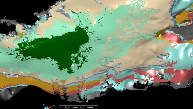
Described as one of the most ambitious mapping projects ever attempted in NSW, scientists are using seismic and sonar technology together with 3D modelling to compile what will become an invaluable reference tool.
While the project is expected to take years to complete, a prototype of the 3D version has already discovered that the Sydney basin is several kilometres deep.
Deputy Premier John Barilaro said the new map will look hundreds of metres below the surface to Sydney’s bedrock, while drawing in hundreds of thousands of pieces of new and historical geoscientific data to enrich the picture.
Once complete, the map will help guide the planning of infrastructure projects by preventing delays, cost blowouts and potential disasters such as the 2005 Lane Cove Tunnel collapse. Post-incident reports showed that better geotechnical investigations were needed during the design and pre-excavation stages of the tunnel’s construction.
The map will be available to local councils, government and industry to allow for safer and more efficient decisions around the planning and approvals of future construction and infrastructure projects, he said.
MORE BY LINDA SILMALIS
Exclusive look inside Rural Fire Service bushfire ‘war room’
‘Mashed-up’ surnames the start of a new family tradition
“Our map will look hundreds of metres below, down through soil and bedrock to the natural fault lines that run beneath the city,” Mr Barilaro said. “Then, using 3D modelling technology, we can overlay this with the location of vital infrastructure like gas and sewerage pipes, underground transport tunnels and archaeological sites to create a ‘digital twin’ of Sydney that architects, engineers and construction professionals can use.
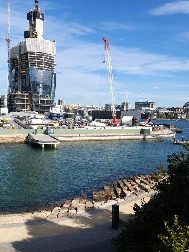
“Access to detailed geotechnical data is critical to any construction project, whether it’s digging a hole for a backyard pool or carving under the city for a project like the Western Metro or Sydney Harbour Tunnel.”
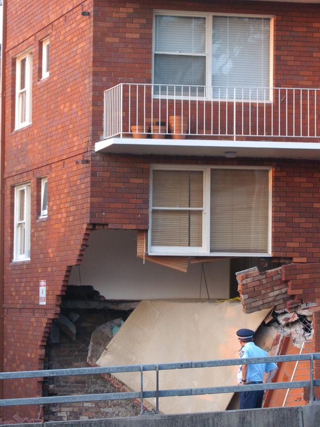
Geological conditions were blamed for the collapse of the Lane Cove Tunnel, in which the roof of a ventilation tunnel collapsed in the early hours of November 2, 2005.
More than 3400 new reports, maps, plans and heritage records dating back to 1963 have been added to DIGS, the NSW government’s public online archive of geoscientific reports, marking the start of the long-term project.
Seismic and sonar technologies measure the variations in sound waves as they pass through and are reflected by features in the subsurface, allowing scientists to accurately predict hidden natural features such as faults and rock types, as well as man-made structures such as tunnels.
Geologists can take physical samples of the subsurface and test the seismic interpretations and undertake detailed studies of rock properties.
Geological Survey of NSW Geoscience Information director, Dr John Greenfield, said thousands of other records were expected to be captured as part of the project. “There are still plenty of missing pieces to the puzzle, so we’re trying to include as many existing geotechnical and geophysical investigations as we can, to make the 3D map the best available,” he said.
Originally published as Sydney CBD’s underground map created to preserve histroy